

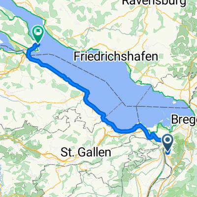
Route: St.Antöni, Kaien, steinerner Tisch
A cycling route starting in Lustenau, Vorarlberg, Austria.
Overview
About this route
- -:--
- Duration
- 46.9 km
- Distance
- 861 m
- Ascent
- 860 m
- Descent
- ---
- Avg. speed
- ---
- Max. altitude

Continue with Bikemap
Use, edit, or download this cycling route
You would like to ride Route: St.Antöni, Kaien, steinerner Tisch or customize it for your own trip? Here is what you can do with this Bikemap route:
Free features
- Save this route as favorite or in collections
- Copy & plan your own version of this route
- Sync your route with Garmin or Wahoo
Premium features
Free trial for 3 days, or one-time payment. More about Bikemap Premium.
- Navigate this route on iOS & Android
- Export a GPX / KML file of this route
- Create your custom printout (try it for free)
- Download this route for offline navigation
Discover more Premium features.
Get Bikemap PremiumFrom our community
Other popular routes starting in Lustenau
 Vorarlberger Wetlands Loop
- Distance
- 55.8 km
- Ascent
- 135 m
- Descent
- 133 m
- Location
- Lustenau, Vorarlberg, Austria
 Gäbris
- Distance
- 45.7 km
- Ascent
- 943 m
- Descent
- 942 m
- Location
- Lustenau, Vorarlberg, Austria
 Sulzbach_Schachen_Schönenbühl_Augsti_Zelg_Mühltobel_Rheineck_Gaißau.
- Distance
- 30.1 km
- Ascent
- 632 m
- Descent
- 630 m
- Location
- Lustenau, Vorarlberg, Austria
 Route nach Konstanz von Lustenau
- Distance
- 62.5 km
- Ascent
- 220 m
- Descent
- 219 m
- Location
- Lustenau, Vorarlberg, Austria
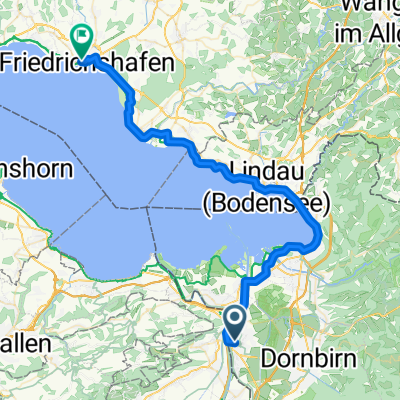 Pontenstraße, Lustenau nach Stadtbahnhof, Friedrichshafen
- Distance
- 50.3 km
- Ascent
- 178 m
- Descent
- 180 m
- Location
- Lustenau, Vorarlberg, Austria
 Lu_BR
Lu_BR- Distance
- 15.1 km
- Ascent
- 4 m
- Descent
- 12 m
- Location
- Lustenau, Vorarlberg, Austria
 Lustenau - Horn TG
- Distance
- 72.4 km
- Ascent
- 210 m
- Descent
- 211 m
- Location
- Lustenau, Vorarlberg, Austria
 CIC MTB Technikkurs 30.10.2010
- Distance
- 18.6 km
- Ascent
- 298 m
- Descent
- 300 m
- Location
- Lustenau, Vorarlberg, Austria
Open it in the app