

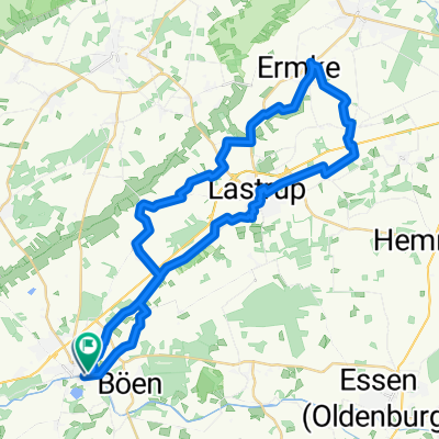
Von Löningen bis Leeuwarden
A cycling route starting in Löningen, Lower Saxony, Germany.
Overview
About this route
- 15 h 51 min
- Duration
- 278.2 km
- Distance
- 439 m
- Ascent
- 441 m
- Descent
- 17.5 km/h
- Avg. speed
- 46 m
- Max. altitude
Route quality
Waytypes & surfaces along the route
Waytypes
Cycleway
228.1 km
(82 %)
Quiet road
36.2 km
(13 %)
Surfaces
Paved
205.8 km
(74 %)
Asphalt
150.2 km
(54 %)
Concrete
55.6 km
(20 %)
Undefined
72.3 km
(26 %)
Continue with Bikemap
Use, edit, or download this cycling route
You would like to ride Von Löningen bis Leeuwarden or customize it for your own trip? Here is what you can do with this Bikemap route:
Free features
- Save this route as favorite or in collections
- Copy & plan your own version of this route
- Split it into stages to create a multi-day tour
- Sync your route with Garmin or Wahoo
Premium features
Free trial for 3 days, or one-time payment. More about Bikemap Premium.
- Navigate this route on iOS & Android
- Export a GPX / KML file of this route
- Create your custom printout (try it for free)
- Download this route for offline navigation
Discover more Premium features.
Get Bikemap PremiumFrom our community
Other popular routes starting in Löningen
 Historischer Pfad
- Distance
- 16.3 km
- Ascent
- 27 m
- Descent
- 24 m
- Location
- Löningen, Lower Saxony, Germany
 Hase-Ems-Tour (Tag3)
- Distance
- 58 km
- Ascent
- 46 m
- Descent
- 49 m
- Location
- Löningen, Lower Saxony, Germany
 Löningen - Cloppenburg - Essen - Löningen
- Distance
- 61.7 km
- Ascent
- 65 m
- Descent
- 64 m
- Location
- Löningen, Lower Saxony, Germany
 Berge 001
- Distance
- 35.4 km
- Ascent
- 71 m
- Descent
- 71 m
- Location
- Löningen, Lower Saxony, Germany
 LG010509
- Distance
- 40.9 km
- Ascent
- 45 m
- Descent
- 38 m
- Location
- Löningen, Lower Saxony, Germany
 Parkplatz Hasestraße - Torfcafe
- Distance
- 33.6 km
- Ascent
- 29 m
- Descent
- 30 m
- Location
- Löningen, Lower Saxony, Germany
 Von Löningen bis Leeuwarden
- Distance
- 278.2 km
- Ascent
- 439 m
- Descent
- 441 m
- Location
- Löningen, Lower Saxony, Germany
 Von Löningen bis Leeuwarden
- Distance
- 180.9 km
- Ascent
- 284 m
- Descent
- 306 m
- Location
- Löningen, Lower Saxony, Germany
Open it in the app