

Waterfront Trail: Windsor to Amherstburg
A cycling route starting in Windsor, Ontario, Canada.
Overview
About this route
Roll out from Windsor’s riverfront and follow the Waterfront Trail south along the Detroit River to Amherstburg. It’s about 21 km, flat and mostly paved, with a few busier road bits through LaSalle. Expect river views, parks, and plenty of spots to rest. Finish by historic Fort Malden and Navy Yard Park.
- -:--
- Duration
- 21.1 km
- Distance
- 12 m
- Ascent
- 13 m
- Descent
- ---
- Avg. speed
- 187 m
- Max. altitude
Route quality
Waytypes & surfaces along the route
Waytypes
Road
6.6 km
(31 %)
Quiet road
4 km
(19 %)
Surfaces
Paved
14.8 km
(70 %)
Unpaved
0.8 km
(4 %)
Asphalt
9.5 km
(45 %)
Paved (undefined)
5.3 km
(25 %)
Continue with Bikemap
Use, edit, or download this cycling route
You would like to ride Waterfront Trail: Windsor to Amherstburg or customize it for your own trip? Here is what you can do with this Bikemap route:
Free features
- Save this route as favorite or in collections
- Copy & plan your own version of this route
- Sync your route with Garmin or Wahoo
Premium features
Free trial for 3 days, or one-time payment. More about Bikemap Premium.
- Navigate this route on iOS & Android
- Export a GPX / KML file of this route
- Create your custom printout (try it for free)
- Download this route for offline navigation
Discover more Premium features.
Get Bikemap PremiumFrom our community
Other popular routes starting in Windsor
 Ultimate Detroit Bike Tour
- Distance
- 8.6 km
- Ascent
- 62 m
- Descent
- 69 m
- Location
- Windsor, Ontario, Canada
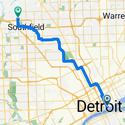 From Detroit to Lathrup Village
- Distance
- 33.1 km
- Ascent
- 78 m
- Descent
- 45 m
- Location
- Windsor, Ontario, Canada
 Ganatchio Trail
- Distance
- 14.1 km
- Ascent
- 14 m
- Descent
- 12 m
- Location
- Windsor, Ontario, Canada
 windsor essex
- Distance
- 157.8 km
- Ascent
- 171 m
- Descent
- 171 m
- Location
- Windsor, Ontario, Canada
 The Loop #1
- Distance
- 34.1 km
- Ascent
- 95 m
- Descent
- 93 m
- Location
- Windsor, Ontario, Canada
 Hearthwood Place 1637, Windsor to Riverside at Ouellette, Windsor
- Distance
- 15.2 km
- Ascent
- 143 m
- Descent
- 145 m
- Location
- Windsor, Ontario, Canada
 south central to ojibway
- Distance
- 24.3 km
- Ascent
- 29 m
- Descent
- 30 m
- Location
- Windsor, Ontario, Canada
 Liar's Bench 2017
- Distance
- 736.9 km
- Ascent
- 281 m
- Descent
- 379 m
- Location
- Windsor, Ontario, Canada
Open it in the app