
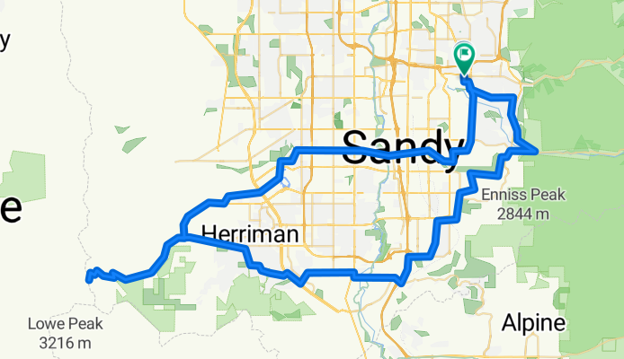
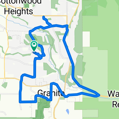
butterfield toole
A cycling route starting in Little Cottonwood Creek Valley, Utah, United States of America.
Overview
About this route
- 5 h 37 min
- Duration
- 107 km
- Distance
- 1,969 m
- Ascent
- 1,967 m
- Descent
- 19 km/h
- Avg. speed
- 2,386 m
- Max. altitude

Route quality
Waytypes & surfaces along the route
Waytypes
Road
52.2 km
(49 %)
Quiet road
7.3 km
(7 %)
Surfaces
Paved
97.9 km
(91 %)
Unpaved
0 km
(<1 %)
Asphalt
95.3 km
(89 %)
Concrete
2.6 km
(2 %)
Continue with Bikemap
Use, edit, or download this cycling route
You would like to ride butterfield toole or customize it for your own trip? Here is what you can do with this Bikemap route:
Free features
- Save this route as favorite or in collections
- Copy & plan your own version of this route
- Split it into stages to create a multi-day tour
- Sync your route with Garmin or Wahoo
Premium features
Free trial for 3 days, or one-time payment. More about Bikemap Premium.
- Navigate this route on iOS & Android
- Export a GPX / KML file of this route
- Create your custom printout (try it for free)
- Download this route for offline navigation
Discover more Premium features.
Get Bikemap PremiumFrom our community
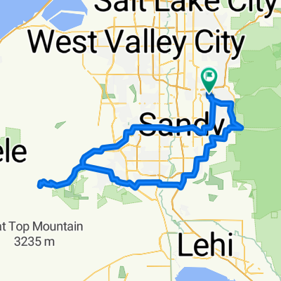
Other popular routes starting in Little Cottonwood Creek Valley
 butterfield toole
- Distance
- 107 km
- Ascent
- 1,969 m
- Descent
- 1,967 m
- Location
- Little Cottonwood Creek Valley, Utah, United States of America
 corner canyon alpine gravel
- Distance
- 79.5 km
- Ascent
- 763 m
- Descent
- 773 m
- Location
- Little Cottonwood Creek Valley, Utah, United States of America
 Sunday ride
- Distance
- 21.9 km
- Ascent
- 157 m
- Descent
- 156 m
- Location
- Little Cottonwood Creek Valley, Utah, United States of America
 Emigration East Canyon PineBrook Millcreek
- Distance
- 106.3 km
- Ascent
- 1,876 m
- Descent
- 1,883 m
- Location
- Little Cottonwood Creek Valley, Utah, United States of America
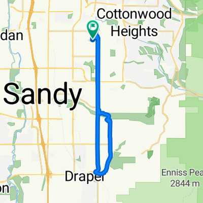
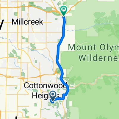
 To Temple Quarry
- Distance
- 19.7 km
- Ascent
- 305 m
- Descent
- 301 m
- Location
- Little Cottonwood Creek Valley, Utah, United States of America
 Wasatch Ride
- Distance
- 14.8 km
- Ascent
- 210 m
- Descent
- 145 m
- Location
- Little Cottonwood Creek Valley, Utah, United States of America
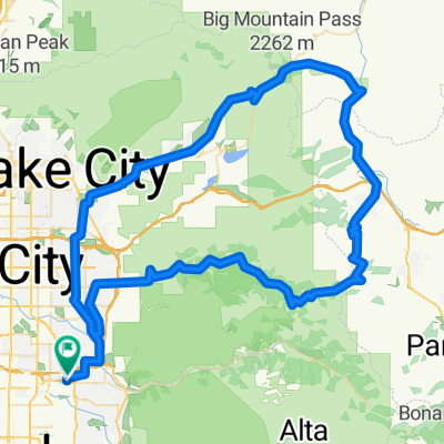
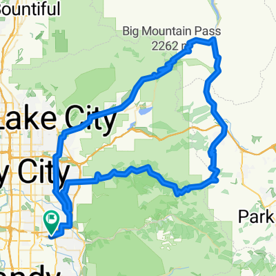 Too Big East Canyon Mid Mountain Mill Creek
- Distance
- 115.6 km
- Ascent
- 1,979 m
- Descent
- 1,979 m
- Location
- Little Cottonwood Creek Valley, Utah, United States of America
 32 mile wasatch / 900 E
- Distance
- 53.3 km
- Ascent
- 410 m
- Descent
- 416 m
- Location
- Little Cottonwood Creek Valley, Utah, United States of America
Open it in the app