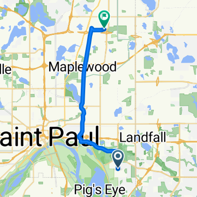
- 17.3 km
- 59 m
- 71 m
- Maplewood, Minnesota, United States
Mississippi River Trail
Mississippi River Trail: Maplewood to Columbia Heights
A cycling route starting in Maplewood, Minnesota, United States.
Overview
About this route
Hop on the Mississippi River Trail for a smooth metro spin from Maplewood to Columbia Heights. Starting east of St. Paul, you'll roll mostly on paved paths and bike lanes along parks and bits of riverfront, with gentle ups and downs. Cruise past neighborhoods and green spaces toward Minneapolis's north side, finishing in Columbia Heights with easy access to coffee and transit. About 35 km, mostly cycleway, light climbing, great for a relaxed half-day ride.
- -:--
- Duration
- 35.3 km
- Distance
- 256 m
- Ascent
- 222 m
- Descent
- ---
- Avg. speed
- 263 m
- Max. altitude
Part of
Mississippi River Trail
119 routes
Route quality
Waytypes & surfaces along the route
Waytypes
Cycleway
32.1 km
(91 %)
Road
2.5 km
(7 %)
Quiet road
0.7 km
(2 %)
Surfaces
Paved
35.3 km
(100 %)
Asphalt
29.6 km
(84 %)
Paved (undefined)
3.5 km
(10 %)
Continue with Bikemap
Use, edit, or download this cycling route
You would like to ride Mississippi River Trail: Maplewood to Columbia Heights or customize it for your own trip? Here is what you can do with this Bikemap route:
Free features
- Save this route as favorite or in collections
- Copy & plan your own version of this route
- Export a GPX file of this official route
- Export a KML file of this official route
- Sync your route with Garmin or Wahoo
Premium features
Free trial for 3 days, or one-time payment. More about Bikemap Premium.
- Navigate this route on iOS & Android
- Create your custom printout (try it for free)
- Download this route for offline navigation
Discover more Premium features.
Get Bikemap PremiumFrom our community
Other popular routes starting in Maplewood
- WB CTY PARK
- B2B00758 55119>55128 viaUpperAfton/Century/HudsonRd./Hadley Hudson
- 13.8 km
- 91 m
- 78 m
- Maplewood, Minnesota, United States
- B2B00576 55119>55110 via Upper Afton Rd, Johnson Pkwy, Bruce Vento Trl
- 17.1 km
- 74 m
- 100 m
- Maplewood, Minnesota, United States
- B2B00211 55119>55101 via Upper Afton, 7th Street
- 17.8 km
- 189 m
- 192 m
- Maplewood, Minnesota, United States
- B2B00956 55119>55401 via Case Av, Como Av, 4th St SE
- 24 km
- 159 m
- 192 m
- Maplewood, Minnesota, United States
- Mississippi River Trail: Maplewood to Columbia Heights
- 35.3 km
- 256 m
- 222 m
- Maplewood, Minnesota, United States
- B2B00182 55106 > 55101 vie Johnson Pkwy., Hudson, Kellogg
- 6.5 km
- 46 m
- 80 m
- Maplewood, Minnesota, United States
Open it in the app


