
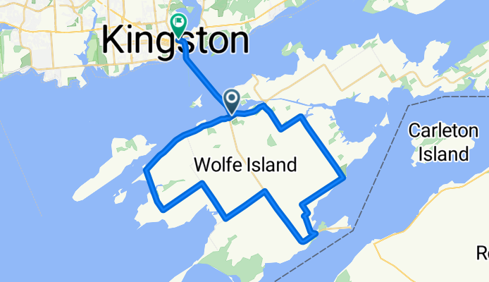
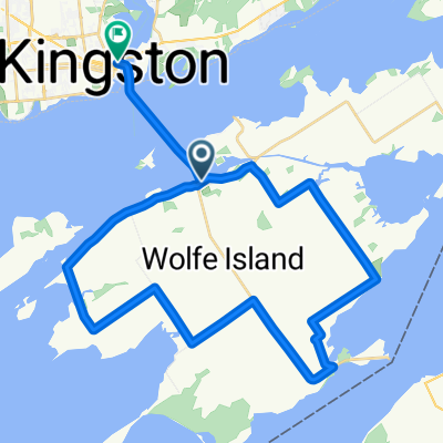
Waterfront Trail (Wolfe Island)
A cycling route starting in Kingston, Ontario, Canada.
Overview
About this route
Roll out from Kingston, hop the ferry to Wolfe Island, and cruise a ~41 km loop on quiet shoreline roads with a few short busier bits. Expect mostly flat terrain with some gravel, big river views, and wind-turbine horizons. Grab a snack in Marysville before catching the ferry back to Kingston’s historic waterfront. Check ferry times, watch for crosswinds and farm traffic, and enjoy an easygoing island spin on the Lake Ontario–St. Lawrence stretch of the Waterfront Trail.
- -:--
- Duration
- 40.9 km
- Distance
- 92 m
- Ascent
- 96 m
- Descent
- ---
- Avg. speed
- 94 m
- Max. altitude
Route quality
Waytypes & surfaces along the route
Waytypes
Quiet road
23.3 km
(57 %)
Cycleway
5.3 km
(13 %)
Undefined
12.3 km
(30 %)
Surfaces
Paved
22.5 km
(55 %)
Unpaved
12.7 km
(31 %)
Asphalt
15.1 km
(37 %)
Unpaved (undefined)
12.7 km
(31 %)
Continue with Bikemap
Use, edit, or download this cycling route
You would like to ride Waterfront Trail (Wolfe Island) or customize it for your own trip? Here is what you can do with this Bikemap route:
Free features
- Save this route as favorite or in collections
- Copy & plan your own version of this route
- Sync your route with Garmin or Wahoo
Premium features
Free trial for 3 days, or one-time payment. More about Bikemap Premium.
- Navigate this route on iOS & Android
- Export a GPX / KML file of this route
- Create your custom printout (try it for free)
- Download this route for offline navigation
Discover more Premium features.
Get Bikemap PremiumFrom our community
Other popular routes starting in Kingston
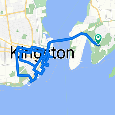
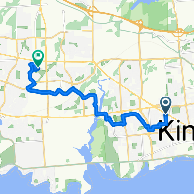 MacDonnell St, Kingston to Gardiners Rd, Kingston
- Distance
- 11.3 km
- Ascent
- 60 m
- Descent
- 65 m
- Location
- Kingston, Ontario, Canada
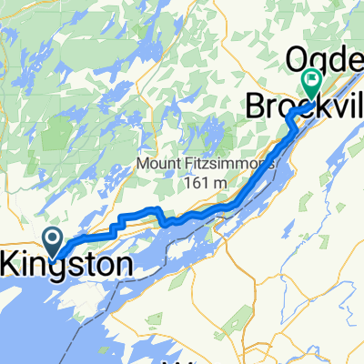
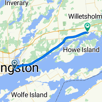 Waterfront Trail: Kingston to Gananoque
- Distance
- 22.7 km
- Ascent
- 142 m
- Descent
- 144 m
- Location
- Kingston, Ontario, Canada
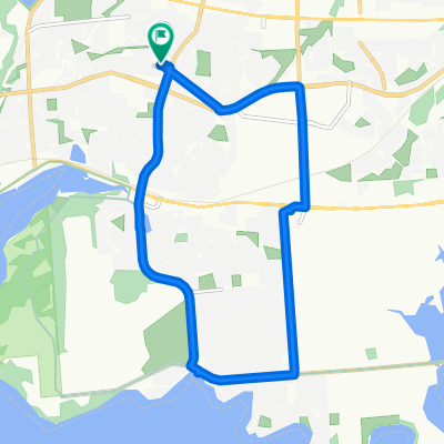 late night bike ride
- Distance
- 11.6 km
- Ascent
- 121 m
- Descent
- 79 m
- Location
- Kingston, Ontario, Canada
 Princess Street to Magedoma Boulevard
- Distance
- 100.7 km
- Ascent
- 524 m
- Descent
- 526 m
- Location
- Kingston, Ontario, Canada
 Waterfront Trail (Wolfe Island)
- Distance
- 40.9 km
- Ascent
- 92 m
- Descent
- 96 m
- Location
- Kingston, Ontario, Canada
 Promenade Fort Henry, Kingston à Promenade Fort Henry, Kingston
- Distance
- 13.2 km
- Ascent
- 317 m
- Descent
- 318 m
- Location
- Kingston, Ontario, Canada
 Phase 2
- Distance
- 212.4 km
- Ascent
- 907 m
- Descent
- 919 m
- Location
- Kingston, Ontario, Canada
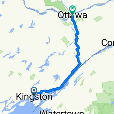
 Kingston - Picton
- Distance
- 69.4 km
- Ascent
- 296 m
- Descent
- 274 m
- Location
- Kingston, Ontario, Canada
Open it in the app