

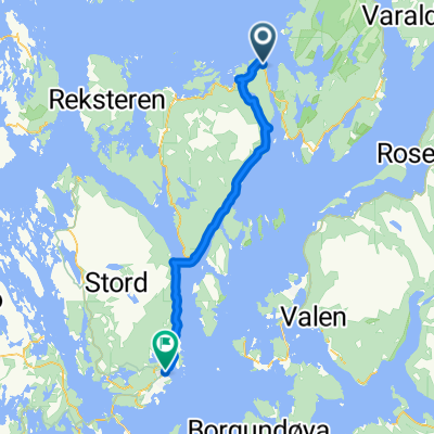
Haaheim Gaard - Leirvik
A cycling route starting in Uggdal, Hordaland, Norway.
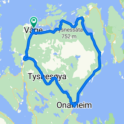
Overview
About this route
The distance include a ferry, about 2 km.Distansen inkluderer en ferje ca. 2 km. - The distance include a ferry, about 2 km.Distansen inkluderer en ferje ca. 2 km.
- -:--
- Duration
- 37.1 km
- Distance
- 791 m
- Ascent
- 901 m
- Descent
- ---
- Avg. speed
- 166 m
- Max. altitude

Continue with Bikemap
Use, edit, or download this cycling route
You would like to ride Haaheim Gaard - Leirvik or customize it for your own trip? Here is what you can do with this Bikemap route:
Free features
- Save this route as favorite or in collections
- Copy & plan your own version of this route
- Sync your route with Garmin or Wahoo
Premium features
Free trial for 3 days, or one-time payment. More about Bikemap Premium.
- Navigate this route on iOS & Android
- Export a GPX / KML file of this route
- Create your custom printout (try it for free)
- Download this route for offline navigation
Discover more Premium features.
Get Bikemap PremiumFrom our community
Other popular routes starting in Uggdal

 Rosendal to Leirvik via Tysnes
- Distance
- 44.7 km
- Ascent
- 0 m
- Descent
- 0 m
- Location
- Uggdal, Hordaland, Norway
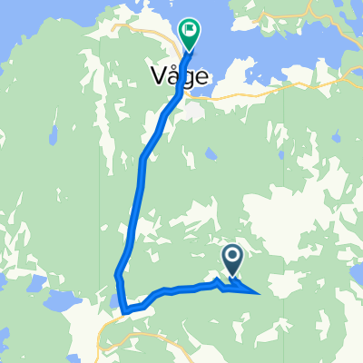 Haaheim-Våge
- Distance
- 6.5 km
- Ascent
- 82 m
- Descent
- 240 m
- Location
- Uggdal, Hordaland, Norway
 Dalsvegen 180, Uggdal to Kjøtteinsvegen 66, Stord
- Distance
- 48.9 km
- Ascent
- 784 m
- Descent
- 898 m
- Location
- Uggdal, Hordaland, Norway
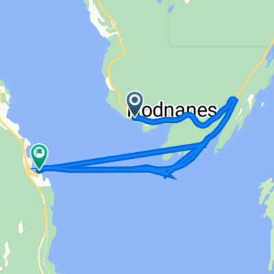 Langenuvegen 178–310, Onarheim to Børtveit 51, Stord
- Distance
- 8.7 km
- Ascent
- 54 m
- Descent
- 91 m
- Location
- Uggdal, Hordaland, Norway
 Sunnhordland: Tysnes rundt CLONED FROM ROUTE 1361229
- Distance
- 43.5 km
- Ascent
- 243 m
- Descent
- 243 m
- Location
- Uggdal, Hordaland, Norway
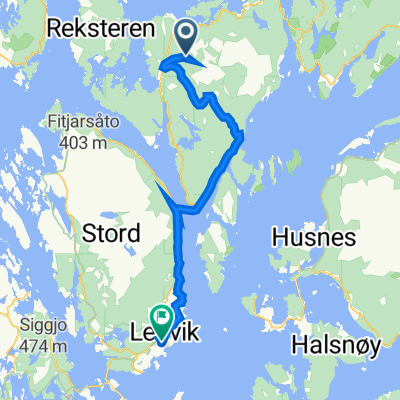
 Tysnes: Malkenes kai - Haaheim Gard
- Distance
- 19.1 km
- Ascent
- 423 m
- Descent
- 288 m
- Location
- Uggdal, Hordaland, Norway
 Tysnes
- Distance
- 148 km
- Ascent
- 943 m
- Descent
- 940 m
- Location
- Uggdal, Hordaland, Norway
Open it in the app