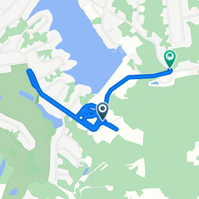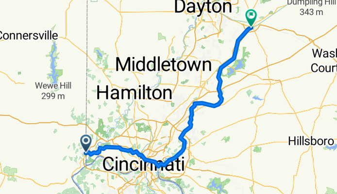

Route to 19730 Marina Estates, Lawrenceburg
- 3.3 km
- 3 m
- 5 m
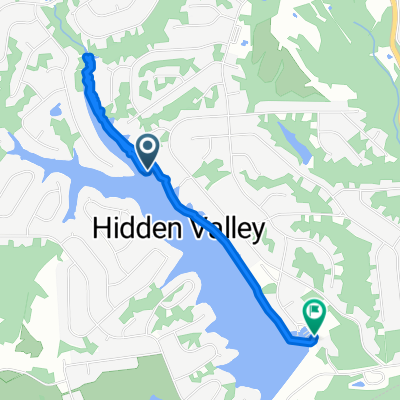
- Hidden Valley, Indiana, United States
A cycling route starting in Hidden Valley, Indiana, United States.
Overview
created this 6 months ago
Route quality
Cycleway
97.6 km
(67 %)
Road
23.3 km
(16 %)
Paved
32 km
(22 %)
Asphalt
32 km
(22 %)
Undefined
113.6 km
(78 %)
Continue with Bikemap
You would like to ride OTET_NB_South or customize it for your own trip? Here is what you can do with this Bikemap route:
Free trial for 3 days, or one-time payment. More about Bikemap Premium.
Discover more Premium features.
Get Bikemap PremiumFrom our community
Open it in the app