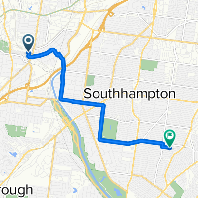
- 2.1 km
- 13 m
- 30 m
- Maplewood, Missouri, United States
Cycle Route 66 (Super)
66 (Missouri): Maplewood to Glasgow Village – 66 (super)
A cycling route starting in Maplewood, Missouri, United States.
Overview
About this route
Cruise from Maplewood up through St. Louis County to Glasgow Village, close to the Mississippi. It’s about 33 km with mild climbing (~175 m). Expect lots of cycleway, plus some quiet streets and a few busier stretches—watch traffic at crossings. Start with coffee or a bite in Maplewood, then roll north for a relaxed city-to-river ride.
- -:--
- Duration
- 33.4 km
- Distance
- 176 m
- Ascent
- 151 m
- Descent
- ---
- Avg. speed
- 163 m
- Max. altitude
Part of
Cycle Route 66 (Super)
31 routes
Route quality
Waytypes & surfaces along the route
Waytypes
Cycleway
19.7 km
(59 %)
Quiet road
5.4 km
(16 %)
Surfaces
Paved
25.8 km
(77 %)
Asphalt
22.7 km
(68 %)
Paved (undefined)
2 km
(6 %)
Continue with Bikemap
Use, edit, or download this cycling route
You would like to ride 66 (Missouri): Maplewood to Glasgow Village – 66 (super) or customize it for your own trip? Here is what you can do with this Bikemap route:
Free features
- Save this route as favorite or in collections
- Copy & plan your own version of this route
- Export a GPX file of this official route
- Export a KML file of this official route
- Sync your route with Garmin or Wahoo
Premium features
Free trial for 3 days, or one-time payment. More about Bikemap Premium.
- Navigate this route on iOS & Android
- Create your custom printout (try it for free)
- Download this route for offline navigation
Discover more Premium features.
Get Bikemap PremiumFrom our community
Other popular routes starting in Maplewood
- Recovered Route
- 66 (Missouri): Maplewood to Glasgow Village – 66 (super)
- 33.4 km
- 176 m
- 151 m
- Maplewood, Missouri, United States
- Maplewood - Lemay
- 11.8 km
- 51 m
- 71 m
- Maplewood, Missouri, United States
- 6802 Hancock Ave, St. Louis to 6802 Hancock Ave, St. Louis
- 20.1 km
- 161 m
- 159 m
- Maplewood, Missouri, United States
- Oxford Blvd, Webster Groves to Oxford Blvd, Webster Groves
- 15.3 km
- 103 m
- 104 m
- Maplewood, Missouri, United States
- 5000–5198 Tholozan Ave, St. Louis to 3948 Potomac St, St. Louis
- 30.3 km
- 281 m
- 284 m
- Maplewood, Missouri, United States
- Grants Trail – Giant Loop
- 42.6 km
- 353 m
- 355 m
- Maplewood, Missouri, United States
- Laclede Station Road 3226, Maplewood to Rosa Avenue 5137, St. Louis
- 6.4 km
- 0 m
- 9 m
- Maplewood, Missouri, United States
Open it in the app


