

PARI -PERPI
A cycling route starting in Étampes, Île-de-France Region, France.
Overview
About this route
- -:--
- Duration
- 1,024.5 km
- Distance
- 2,808 m
- Ascent
- 2,795 m
- Descent
- ---
- Avg. speed
- ---
- Max. altitude
Route quality
Waytypes & surfaces along the route
Waytypes
Road
389.3 km
(38 %)
Quiet road
82 km
(8 %)
Surfaces
Paved
409.8 km
(40 %)
Asphalt
399.6 km
(39 %)
Paved (undefined)
10.2 km
(1 %)
Undefined
614.7 km
(60 %)
Continue with Bikemap
Use, edit, or download this cycling route
You would like to ride PARI -PERPI or customize it for your own trip? Here is what you can do with this Bikemap route:
Free features
- Save this route as favorite or in collections
- Copy & plan your own version of this route
- Split it into stages to create a multi-day tour
- Sync your route with Garmin or Wahoo
Premium features
Free trial for 3 days, or one-time payment. More about Bikemap Premium.
- Navigate this route on iOS & Android
- Export a GPX / KML file of this route
- Create your custom printout (try it for free)
- Download this route for offline navigation
Discover more Premium features.
Get Bikemap PremiumFrom our community
Other popular routes starting in Étampes
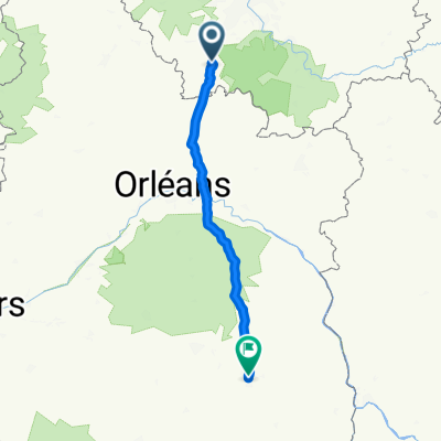
 Etampes Orléans
- Distance
- 69.2 km
- Ascent
- 129 m
- Descent
- 84 m
- Location
- Étampes, Île-de-France Region, France
 De Rue Louis Moreau 26, Étampes à Rue Louis Moreau 12, Étampes
- Distance
- 43.5 km
- Ascent
- 418 m
- Descent
- 420 m
- Location
- Étampes, Île-de-France Region, France
 Poludnie
- Distance
- 510.3 km
- Ascent
- 532 m
- Descent
- 452 m
- Location
- Étampes, Île-de-France Region, France
 Etampes
- Distance
- 127.8 km
- Ascent
- 569 m
- Descent
- 582 m
- Location
- Étampes, Île-de-France Region, France
 Étampes-Bordeaux
- Distance
- 1,130.4 km
- Ascent
- 281 m
- Descent
- 340 m
- Location
- Étampes, Île-de-France Region, France
 Etampes - Bourges 169km
- Distance
- 169.1 km
- Ascent
- 336 m
- Descent
- 295 m
- Location
- Étampes, Île-de-France Region, France
 vallée de la chalouette
- Distance
- 32.7 km
- Ascent
- 231 m
- Descent
- 229 m
- Location
- Étampes, Île-de-France Region, France
 IDF Saintonge
- Distance
- 396.1 km
- Ascent
- 594 m
- Descent
- 629 m
- Location
- Étampes, Île-de-France Region, France
Open it in the app