
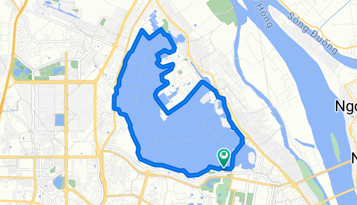
Vong trong Ho Tay
A cycling route starting in Hanoi, Hanoi, Vietnam.
Overview
About this route
- -:--
- Duration
- 14.1 km
- Distance
- 61 m
- Ascent
- 59 m
- Descent
- ---
- Avg. speed
- ---
- Max. altitude

Route quality
Waytypes & surfaces along the route
Waytypes
Road
8.6 km
(61 %)
Quiet road
2.1 km
(15 %)
Surfaces
Paved
12.1 km
(86 %)
Asphalt
12.1 km
(86 %)
Undefined
2 km
(14 %)
Continue with Bikemap
Use, edit, or download this cycling route
You would like to ride Vong trong Ho Tay or customize it for your own trip? Here is what you can do with this Bikemap route:
Free features
- Save this route as favorite or in collections
- Copy & plan your own version of this route
- Sync your route with Garmin or Wahoo
Premium features
Free trial for 3 days, or one-time payment. More about Bikemap Premium.
- Navigate this route on iOS & Android
- Export a GPX / KML file of this route
- Create your custom printout (try it for free)
- Download this route for offline navigation
Discover more Premium features.
Get Bikemap PremiumFrom our community
Other popular routes starting in Hanoi
 Hanoi-Hochiminh City via HCM Highway
- Distance
- 1,822.1 km
- Ascent
- 4,416 m
- Descent
- 4,414 m
- Location
- Hanoi, Hanoi, Vietnam
 Vietnam to Koh Chang
- Distance
- 2,533.1 km
- Ascent
- 2,297 m
- Descent
- 2,253 m
- Location
- Hanoi, Hanoi, Vietnam
 Hanoi-DienBienPhu_01
- Distance
- 455.1 km
- Ascent
- 3,086 m
- Descent
- 2,618 m
- Location
- Hanoi, Hanoi, Vietnam
 12月練習
12月練習- Distance
- 53 km
- Ascent
- 67 m
- Descent
- 64 m
- Location
- Hanoi, Hanoi, Vietnam
 Vong trong Ho Tay
- Distance
- 14.1 km
- Ascent
- 61 m
- Descent
- 59 m
- Location
- Hanoi, Hanoi, Vietnam
 Trần Phú, Hà Nội to 35 Trần Phú, Hà Nội
- Distance
- 21.4 km
- Ascent
- 84 m
- Descent
- 83 m
- Location
- Hanoi, Hanoi, Vietnam
 thế dục
- Distance
- 5.8 km
- Ascent
- 400 m
- Descent
- 386 m
- Location
- Hanoi, Hanoi, Vietnam
 Hanoi-Doan Hung via Son Tay
- Distance
- 126.2 km
- Ascent
- 93 m
- Descent
- 87 m
- Location
- Hanoi, Hanoi, Vietnam
Open it in the app