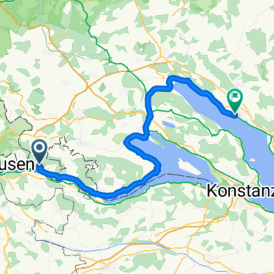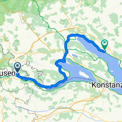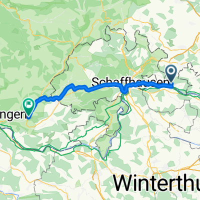
Radolfzell am Bodensee - Lauchringen
- 40.8 km
- 423 m
- 499 m
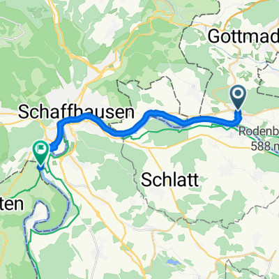
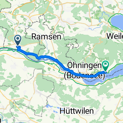
- Gailingen, Baden-Wurttemberg, Germany
A cycling route starting in Gailingen, Baden-Wurttemberg, Germany.
Overview
created this 6 months ago
Route quality
Quiet road
21.9 km
(36 %)
Path
16.4 km
(27 %)
Paved
54.8 km
(90 %)
Unpaved
3 km
(5 %)
Asphalt
54.8 km
(90 %)
Gravel
3 km
(5 %)
Undefined
3 km
(5 %)
Continue with Bikemap
You would like to ride From Gailingen am Hochrhein to Waldshut-Tiengen or customize it for your own trip? Here is what you can do with this Bikemap route:
Free trial for 3 days, or one-time payment. More about Bikemap Premium.
Discover more Premium features.
Get Bikemap PremiumFrom our community
Open it in the app