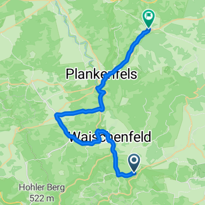
Durch_die_Nördliche_Fränkische
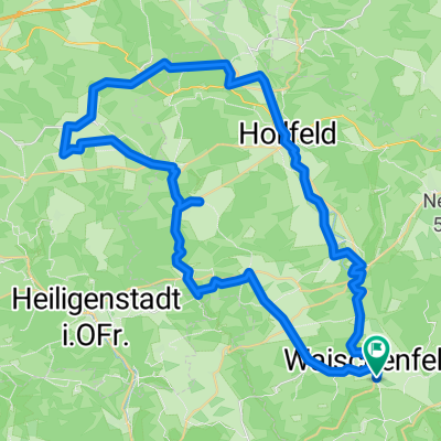
A cycling route starting in Waischenfeld, Bavaria, Germany.
Overview
About this route
These GPS data are the property of the geo-coaching project and are intended solely for private use. Commercial use is not permitted without authorization.
- 1 h 56 min
- Duration
- 28.7 km
- Distance
- 355 m
- Ascent
- 352 m
- Descent
- 14.9 km/h
- Avg. speed
- 539 m
- Max. altitude
Continue with Bikemap
Use, edit, or download this cycling route
You would like to ride Durch_die_Nördliche_Fränkische or customize it for your own trip? Here is what you can do with this Bikemap route:
Free features
- Save this route as favorite or in collections
- Copy & plan your own version of this route
- Sync your route with Garmin or Wahoo
Premium features
Free trial for 3 days, or one-time payment. More about Bikemap Premium.
- Navigate this route on iOS & Android
- Export a GPX / KML file of this route
- Create your custom printout (try it for free)
- Download this route for offline navigation
Discover more Premium features.
Get Bikemap PremiumFrom our community
Other popular routes starting in Waischenfeld
- Burg Rabenstein - Bamberg
- Distance
- 51.2 km
- Ascent
- 488 m
- Descent
- 671 m
- Location
- Waischenfeld, Bavaria, Germany
- Waischenfeld - Aufsess - Wiesent - Rundtour
- Distance
- 52.5 km
- Ascent
- 262 m
- Descent
- 260 m
- Location
- Waischenfeld, Bavaria, Germany
- Durch_die_Nördliche_Fränkische
- Distance
- 28.7 km
- Ascent
- 355 m
- Descent
- 352 m
- Location
- Waischenfeld, Bavaria, Germany
- Premium Radtour : Waischenfeld - Kirchahorn - Poppendorf - Trockau - Moritzreuth -Waischenfeld
- Distance
- 34.7 km
- Ascent
- 559 m
- Descent
- 558 m
- Location
- Waischenfeld, Bavaria, Germany
- Anstieg Oberailsfeld Rackersberg
- Distance
- 2.9 km
- Ascent
- 105 m
- Descent
- 65 m
- Location
- Waischenfeld, Bavaria, Germany
- Rabenstein - Pottenstein - Altenburg - Spezi
- Distance
- 75.4 km
- Ascent
- 713 m
- Descent
- 834 m
- Location
- Waischenfeld, Bavaria, Germany
- Premium Radtour : Oberailsfeld - Pottenstein - Püttlach - Trockau - Kirchahorn - Oberailsfeld
- Distance
- 40.4 km
- Ascent
- 474 m
- Descent
- 473 m
- Location
- Waischenfeld, Bavaria, Germany
- Rabeneck nach Rabeneck
- Distance
- 38.8 km
- Ascent
- 675 m
- Descent
- 693 m
- Location
- Waischenfeld, Bavaria, Germany
Open it in the app