

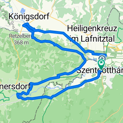
Bethlen Gábor utca, Szentgotthárd - Bethlen Gábor utca, Szentgotthárd
A cycling route starting in Szentgotthárd, Vas County, Hungary.
Overview
About this route
- 6 h 56 min
- Duration
- 90.3 km
- Distance
- 335 m
- Ascent
- 338 m
- Descent
- 13 km/h
- Avg. speed
- 411 m
- Max. altitude
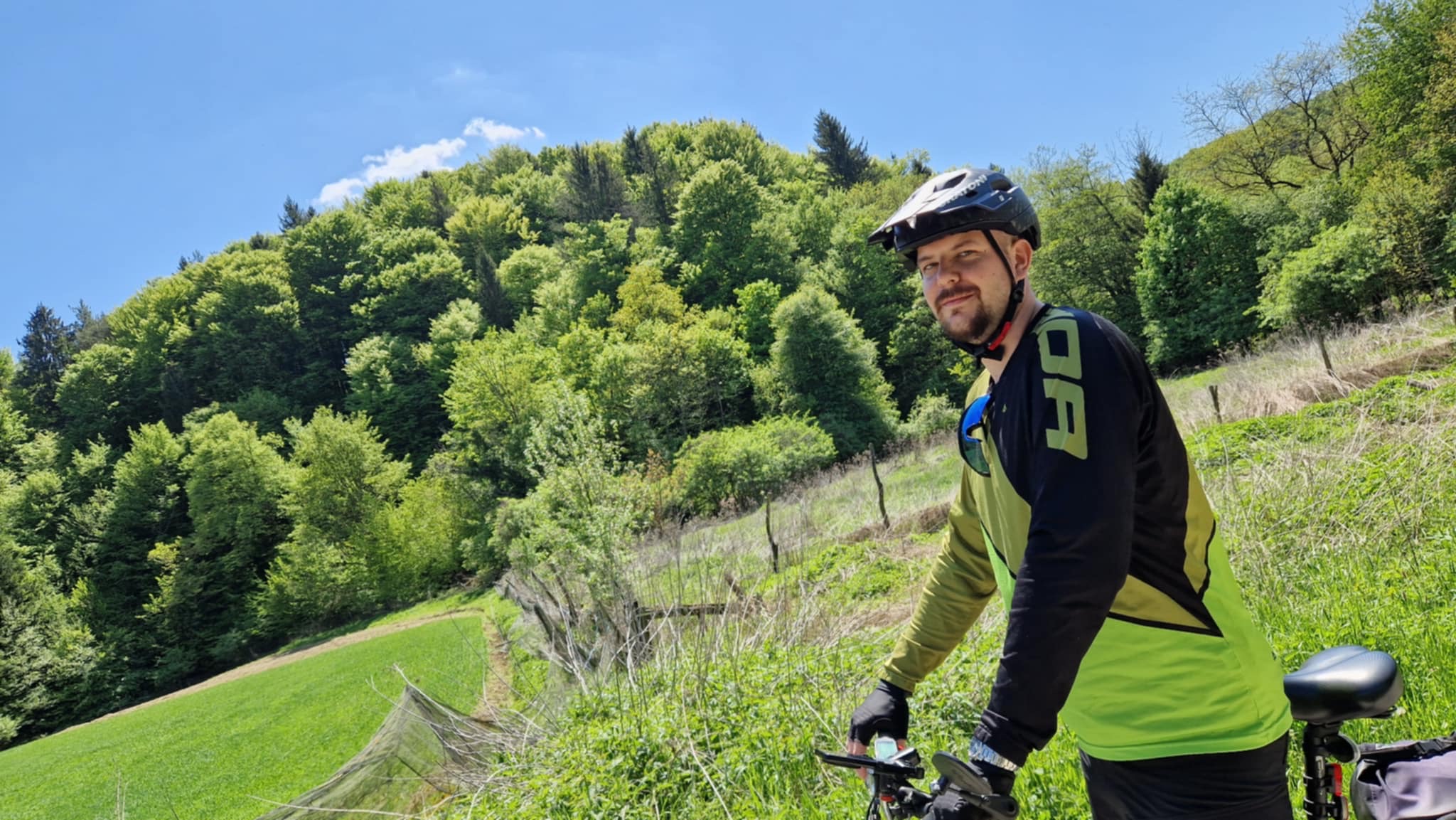
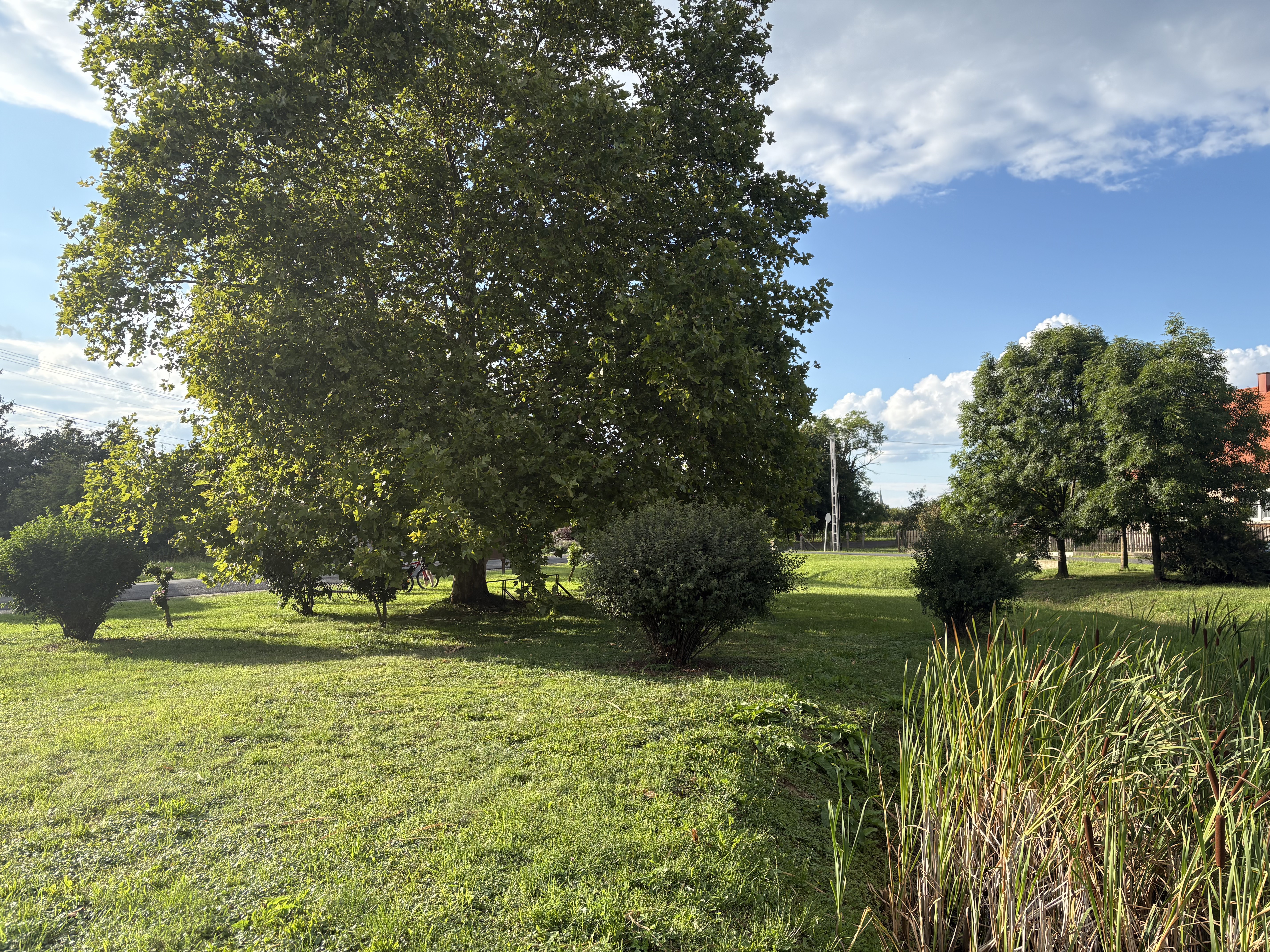
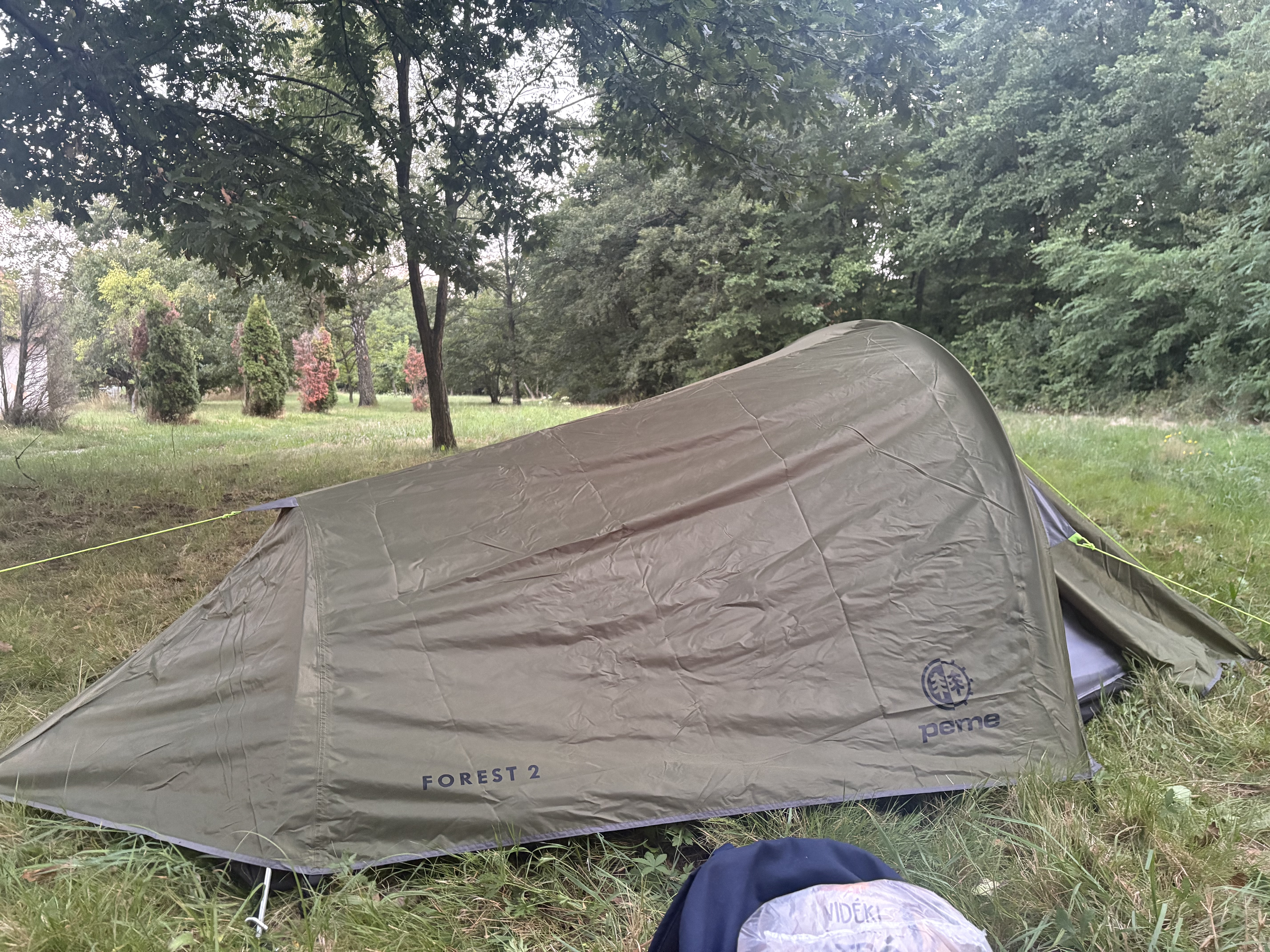
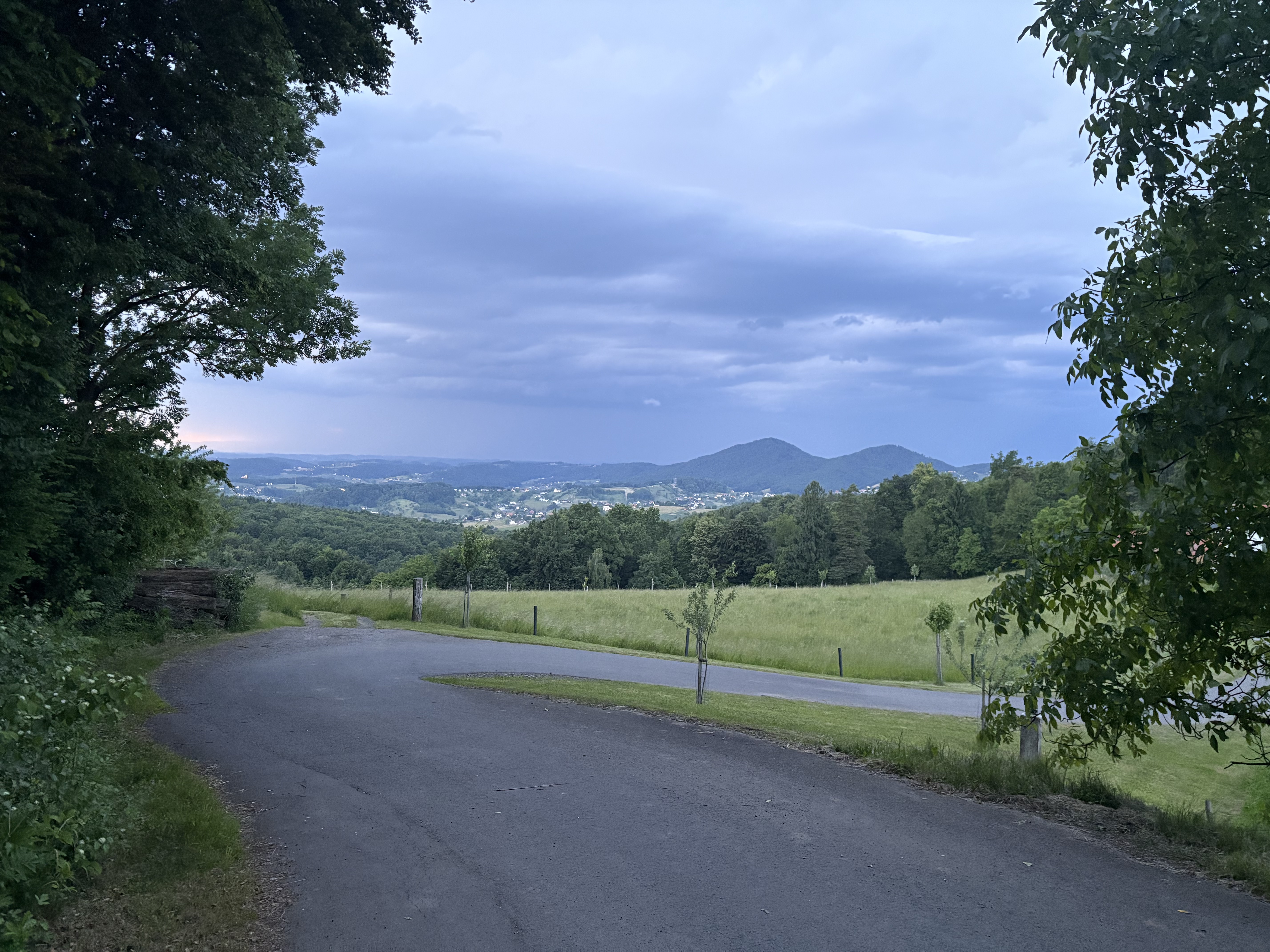
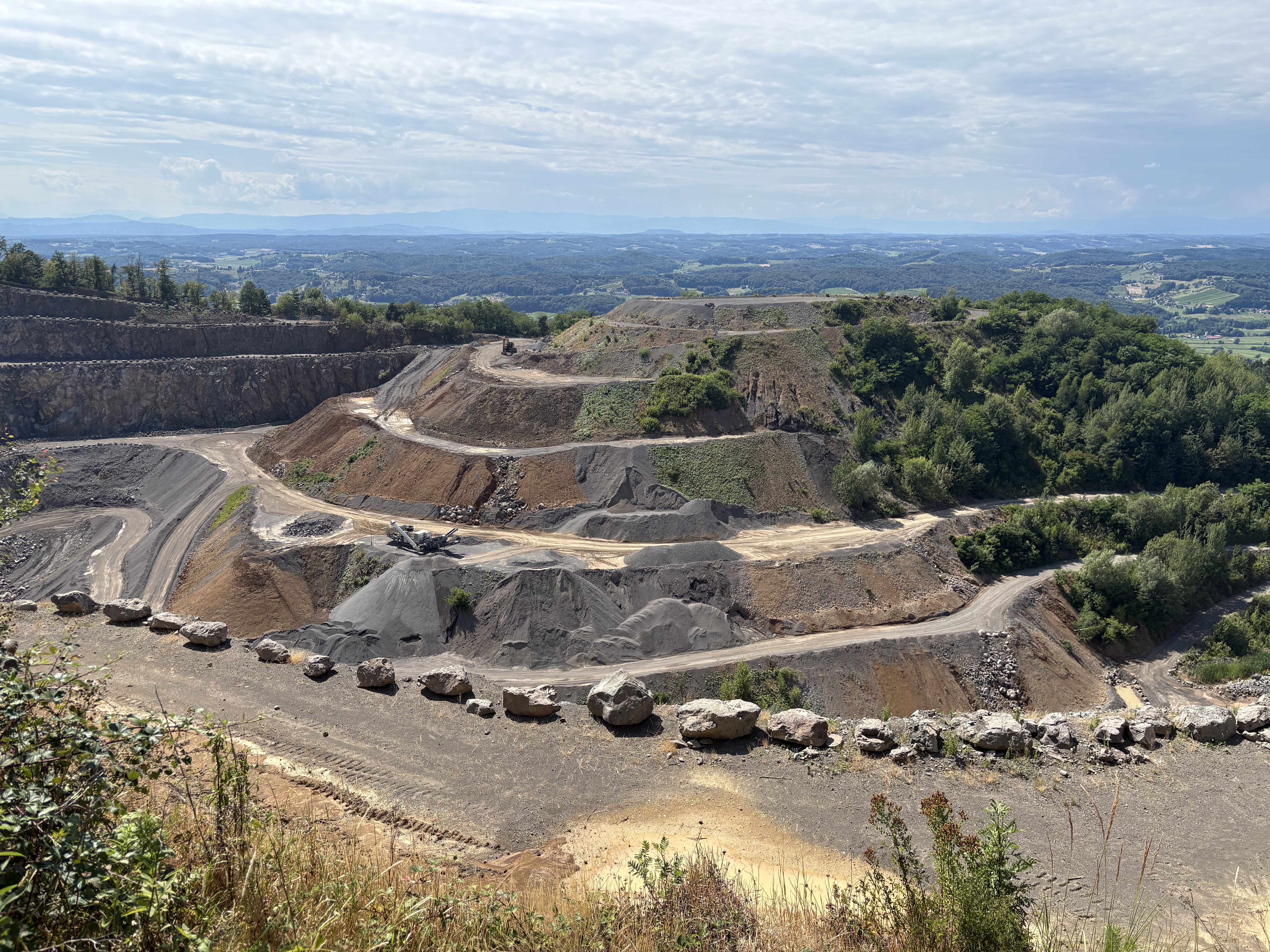
Route photos


Route quality
Waytypes & surfaces along the route
Waytypes
Track
41.6 km
(46 %)
Quiet road
31.6 km
(35 %)
Surfaces
Paved
64.1 km
(71 %)
Unpaved
0.9 km
(1 %)
Asphalt
54.2 km
(60 %)
Paved (undefined)
9.9 km
(11 %)
Continue with Bikemap
Use, edit, or download this cycling route
You would like to ride Bethlen Gábor utca, Szentgotthárd - Bethlen Gábor utca, Szentgotthárd or customize it for your own trip? Here is what you can do with this Bikemap route:
Free features
- Save this route as favorite or in collections
- Copy & plan your own version of this route
- Split it into stages to create a multi-day tour
- Sync your route with Garmin or Wahoo
Premium features
Free trial for 3 days, or one-time payment. More about Bikemap Premium.
- Navigate this route on iOS & Android
- Export a GPX / KML file of this route
- Create your custom printout (try it for free)
- Download this route for offline navigation
Discover more Premium features.
Get Bikemap PremiumFrom our community
Other popular routes starting in Szentgotthárd
 Bethlen Gábor utca, Szentgotthárd - Petőmihályfa
- Distance
- 56.3 km
- Ascent
- 267 m
- Descent
- 263 m
- Location
- Szentgotthárd, Vas County, Hungary
 Bethlen Gábor utca, Szentgotthárd - Sümeg-Keszthely(Országos Kéktúra Szakasz), Keszthely
- Distance
- 120.2 km
- Ascent
- 754 m
- Descent
- 853 m
- Location
- Szentgotthárd, Vas County, Hungary
 Sztg-Breitenfeld a.d. Rittschein
- Distance
- 68.8 km
- Ascent
- 194 m
- Descent
- 194 m
- Location
- Szentgotthárd, Vas County, Hungary
- Bethlen Gábor utca, Szentgotthárd - Bethlen Gábor utca, Szentgotthárd
- Distance
- 90.3 km
- Ascent
- 335 m
- Descent
- 338 m
- Location
- Szentgotthárd, Vas County, Hungary
 Bethlen Gábor utca, Szentgotthárd - Bethlen Gábor utca, Szentgotthárd
- Distance
- 77.3 km
- Ascent
- 816 m
- Descent
- 815 m
- Location
- Szentgotthárd, Vas County, Hungary
 Königsdorf--Mogersdorf-Jennersdorf
- Distance
- 41.2 km
- Ascent
- 201 m
- Descent
- 196 m
- Location
- Szentgotthárd, Vas County, Hungary
 Bethlen Gábor utca, Szentgotthárd - Fő utca, Badacsonytomaj
- Distance
- 153.5 km
- Ascent
- 881 m
- Descent
- 1,010 m
- Location
- Szentgotthárd, Vas County, Hungary
 Bethlen Gábor utca, Szentgotthárd - Frutten, Straden
- Distance
- 39.5 km
- Ascent
- 514 m
- Descent
- 268 m
- Location
- Szentgotthárd, Vas County, Hungary
Open it in the app