

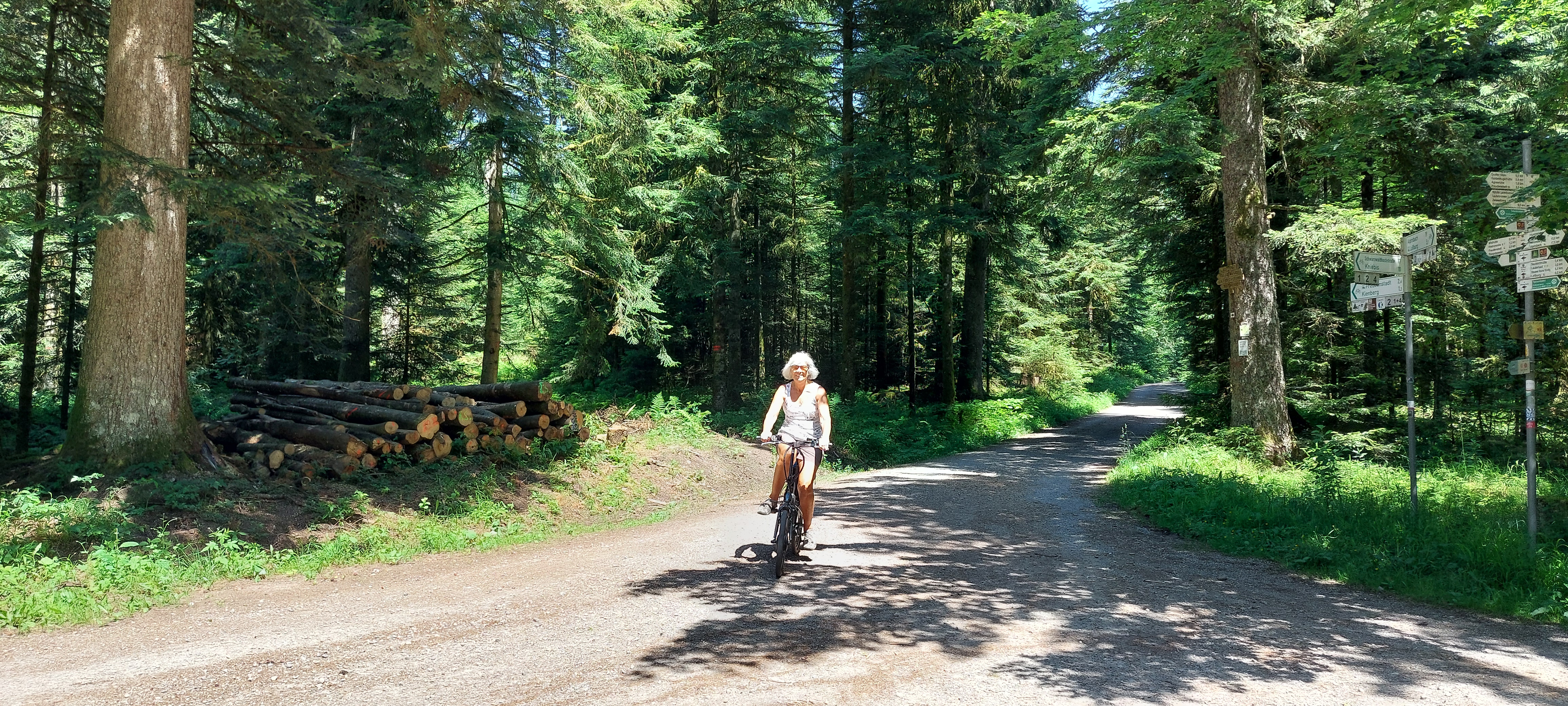
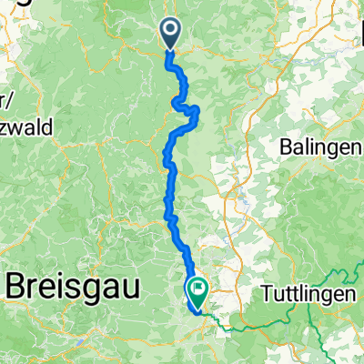
Von Freudenstadt bis Elzach
A cycling route starting in Freudenstadt, Baden-Wurttemberg, Germany.
Overview
About this route
- 5 h 4 min
- Duration
- 73.1 km
- Distance
- 1,891 m
- Ascent
- 2,225 m
- Descent
- 14.5 km/h
- Avg. speed
- 829 m
- Max. altitude

Route quality
Waytypes & surfaces along the route
Waytypes
Quiet road
24.1 km
(33 %)
Path
21.2 km
(29 %)
Surfaces
Paved
54.9 km
(75 %)
Unpaved
14.6 km
(20 %)
Asphalt
54.1 km
(74 %)
Loose gravel
10.2 km
(14 %)
Continue with Bikemap
Use, edit, or download this cycling route
You would like to ride Von Freudenstadt bis Elzach or customize it for your own trip? Here is what you can do with this Bikemap route:
Free features
- Save this route as favorite or in collections
- Copy & plan your own version of this route
- Sync your route with Garmin or Wahoo
Premium features
Free trial for 3 days, or one-time payment. More about Bikemap Premium.
- Navigate this route on iOS & Android
- Export a GPX / KML file of this route
- Create your custom printout (try it for free)
- Download this route for offline navigation
Discover more Premium features.
Get Bikemap PremiumFrom our community
Other popular routes starting in Freudenstadt
 Freudenstadt to Krähenbadstraße
- Distance
- 25.1 km
- Ascent
- 332 m
- Descent
- 620 m
- Location
- Freudenstadt, Baden-Wurttemberg, Germany
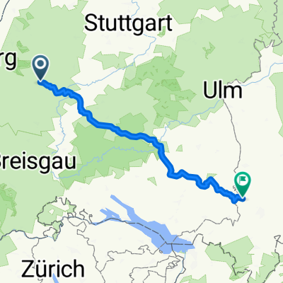
 E1-Freudenst-Donaueschingen
- Distance
- 84.8 km
- Ascent
- 1,014 m
- Descent
- 1,070 m
- Location
- Freudenstadt, Baden-Wurttemberg, Germany
 Kurze Ausfahrt durch Freudenstadt
- Distance
- 0 km
- Ascent
- 0 m
- Descent
- 0 m
- Location
- Freudenstadt, Baden-Wurttemberg, Germany
 Schwarzwald Panorama-Radweg Tag 2
- Distance
- 59.1 km
- Ascent
- 528 m
- Descent
- 495 m
- Location
- Freudenstadt, Baden-Wurttemberg, Germany
 2013-08-09Home-Straßburg
- Distance
- 57.7 km
- Ascent
- 879 m
- Descent
- 1,406 m
- Location
- Freudenstadt, Baden-Wurttemberg, Germany
 Route nach Altusried
- Distance
- 204.2 km
- Ascent
- 2,519 m
- Descent
- 2,417 m
- Location
- Freudenstadt, Baden-Wurttemberg, Germany
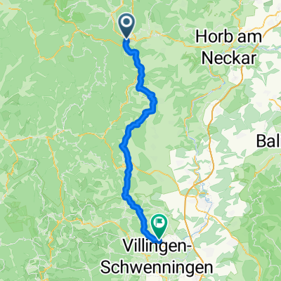 Von Freudenstadt bis Villingen-Schwenningen
- Distance
- 59.2 km
- Ascent
- 1,028 m
- Descent
- 1,042 m
- Location
- Freudenstadt, Baden-Wurttemberg, Germany
 Zwei-Täler-Tour
- Distance
- 51.5 km
- Ascent
- 942 m
- Descent
- 942 m
- Location
- Freudenstadt, Baden-Wurttemberg, Germany
Open it in the app