

Tan Oak Ln, Bend to Tan Oak Ln, Bend
A cycling route starting in Sunriver, Oregon, United States.
Overview
About this route
- 47 min
- Duration
- 5.5 km
- Distance
- 106 m
- Ascent
- 106 m
- Descent
- 7.1 km/h
- Avg. speed
- 1,300 m
- Max. altitude

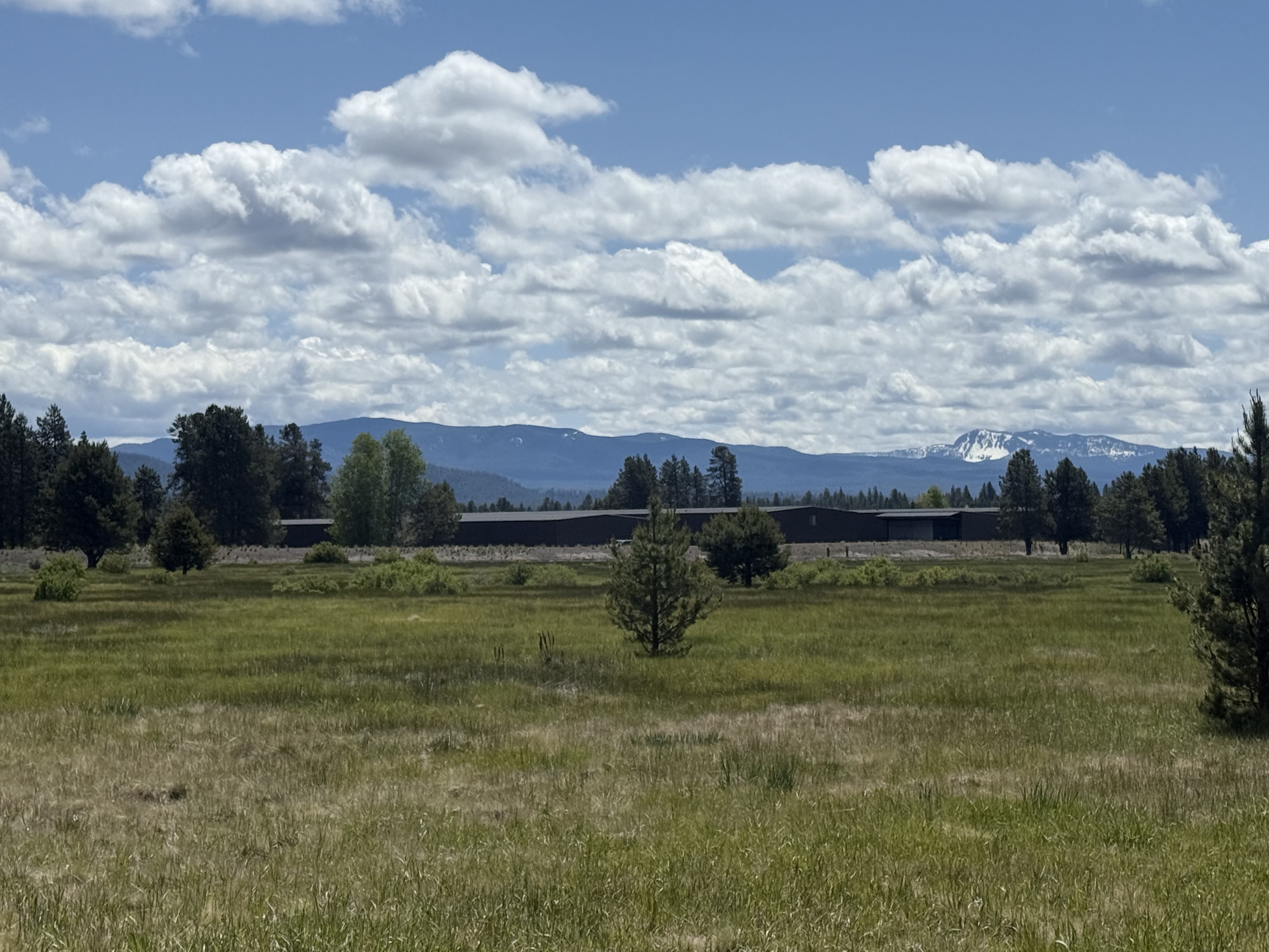
Route photos


Continue with Bikemap
Use, edit, or download this cycling route
You would like to ride Tan Oak Ln, Bend to Tan Oak Ln, Bend or customize it for your own trip? Here is what you can do with this Bikemap route:
Free features
- Save this route as favorite or in collections
- Copy & plan your own version of this route
- Sync your route with Garmin or Wahoo
Premium features
Free trial for 3 days, or one-time payment. More about Bikemap Premium.
- Navigate this route on iOS & Android
- Export a GPX / KML file of this route
- Create your custom printout (try it for free)
- Download this route for offline navigation
Discover more Premium features.
Get Bikemap PremiumFrom our community
Other popular routes starting in Sunriver
 Sunriver
- Distance
- 10.8 km
- Ascent
- 27 m
- Descent
- 29 m
- Location
- Sunriver, Oregon, United States
 Swan Song to Roundabout (edited)
- Distance
- 25.2 km
- Ascent
- 217 m
- Descent
- 215 m
- Location
- Sunriver, Oregon, United States
 Route from 57677 Yellow Pine Ln, Bend
- Distance
- 35.7 km
- Ascent
- 980 m
- Descent
- 324 m
- Location
- Sunriver, Oregon, United States
- Tan Oak Ln, Bend to Tan Oak Ln, Bend
- Distance
- 5.5 km
- Ascent
- 106 m
- Descent
- 106 m
- Location
- Sunriver, Oregon, United States
 57100 Beaver Dr, Bend to 57100 Beaver Dr, Bend
- Distance
- 17.6 km
- Ascent
- 100 m
- Descent
- 103 m
- Location
- Sunriver, Oregon, United States
 Polina's
- Distance
- 34.6 km
- Ascent
- 119 m
- Descent
- 245 m
- Location
- Sunriver, Oregon, United States
 Beaver Dr, Bend to Tan Oak Ln, Bend
- Distance
- 10.9 km
- Ascent
- 104 m
- Descent
- 99 m
- Location
- Sunriver, Oregon, United States
 sunriver mountain loop
- Distance
- 63 km
- Ascent
- 555 m
- Descent
- 555 m
- Location
- Sunriver, Oregon, United States
Open it in the app