Grenztour aus der Zeitschrift tour
- 963 km
- 2,386 m
- 1,890 m
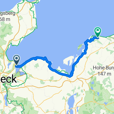
- Travemünde, Schleswig-Holstein, Germany
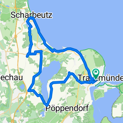
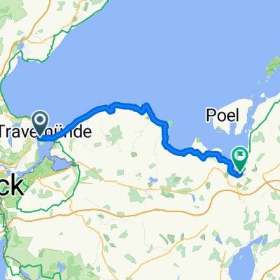
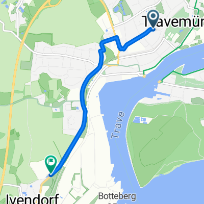
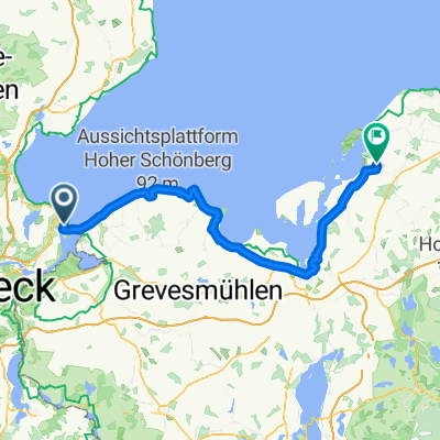
A cycling route starting in Travemünde, Schleswig-Holstein, Germany.
Overview
created this 6 months ago
Route quality
Path
91.9 km
(59 %)
Quiet road
23.4 km
(15 %)
Paved
132.3 km
(85 %)
Unpaved
4.7 km
(3 %)
Asphalt
129.2 km
(83 %)
Paved (undefined)
1.6 km
(1 %)
Continue with Bikemap
You would like to ride Untitled route or customize it for your own trip? Here is what you can do with this Bikemap route:
Free trial for 3 days, or one-time payment. More about Bikemap Premium.
Discover more Premium features.
Get Bikemap PremiumFrom our community
Open it in the app