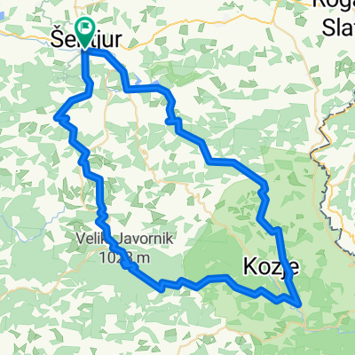
Kozjanska 4
- 59.2 km
- 559 m
- 550 m
- Šentjur pri Celju, Šentjur Municipality, Slovenia
A cycling route starting in Šentjur pri Celju, Šentjur Municipality, Slovenia.
Overview
created this 6 months ago
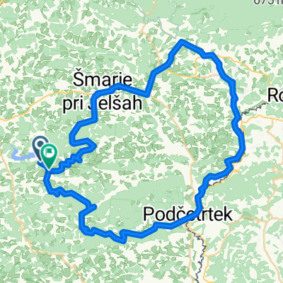
Route quality
Road
19.2 km
(23 %)
Quiet road
19.2 km
(23 %)
Paved
50.1 km
(60 %)
Unpaved
3.3 km
(4 %)
Asphalt
50.1 km
(60 %)
Gravel
3.3 km
(4 %)
Undefined
30.1 km
(36 %)
Continue with Bikemap
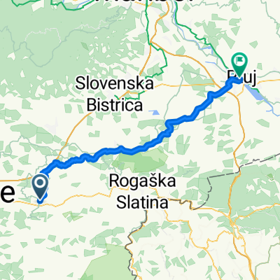
You would like to ride Route to Veržej or customize it for your own trip? Here is what you can do with this Bikemap route:
Free trial for 3 days, or one-time payment. More about Bikemap Premium.
Discover more Premium features.
Get Bikemap PremiumFrom our community
Open it in the app