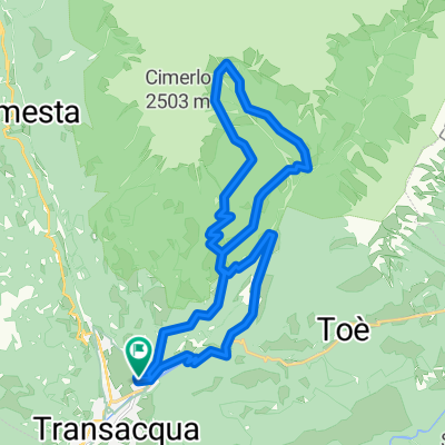
Tonadico, Val Belluna, Valle del MIs
- 100.8 km
- 1,558 m
- 1,528 m
- Tonadico, Trentino-Alto Adige, Italy
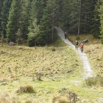
The tour is mostly along dirt roads and single trails; you have to push the bike for a short section after Malga Val Sorda.
Free trial for 3 days, or one-time payment. More about Bikemap Premium.
Discover more Premium features.
Get Bikemap PremiumOpen it in the app