

Calle Manzanares, Tlapanaloya a Avenida Niños Héroes, Tlapanaloya
A cycling route starting in Hueypoxtla, Morelos, Mexico.
Overview
About this route
- 3 h 9 min
- Duration
- 44.5 km
- Distance
- 496 m
- Ascent
- 493 m
- Descent
- 14.2 km/h
- Avg. speed
- 2,478 m
- Max. altitude

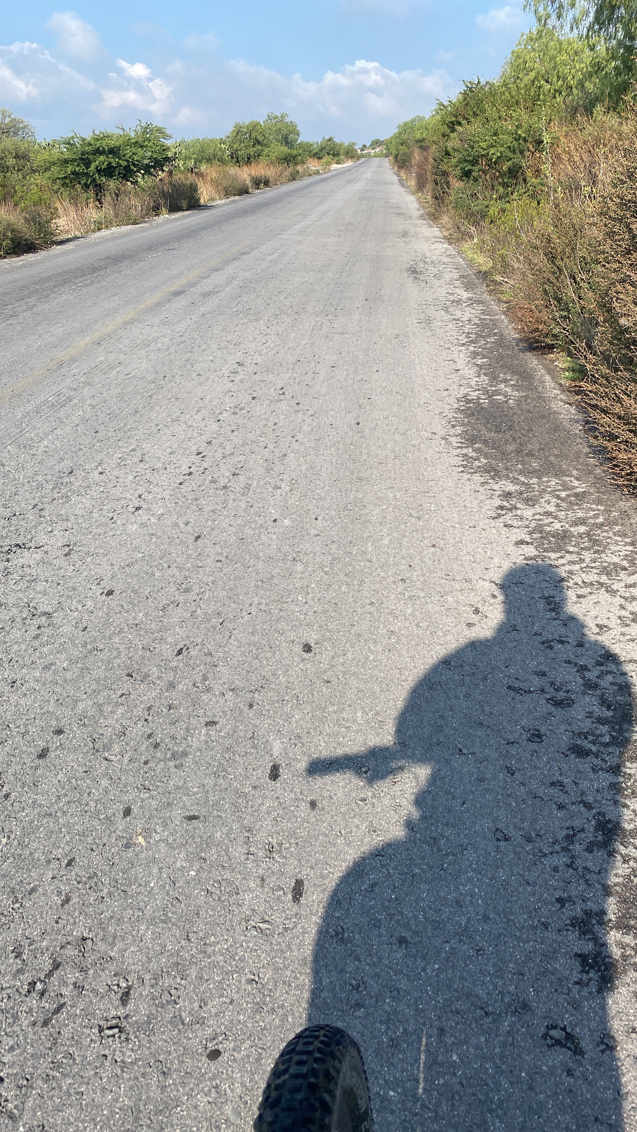
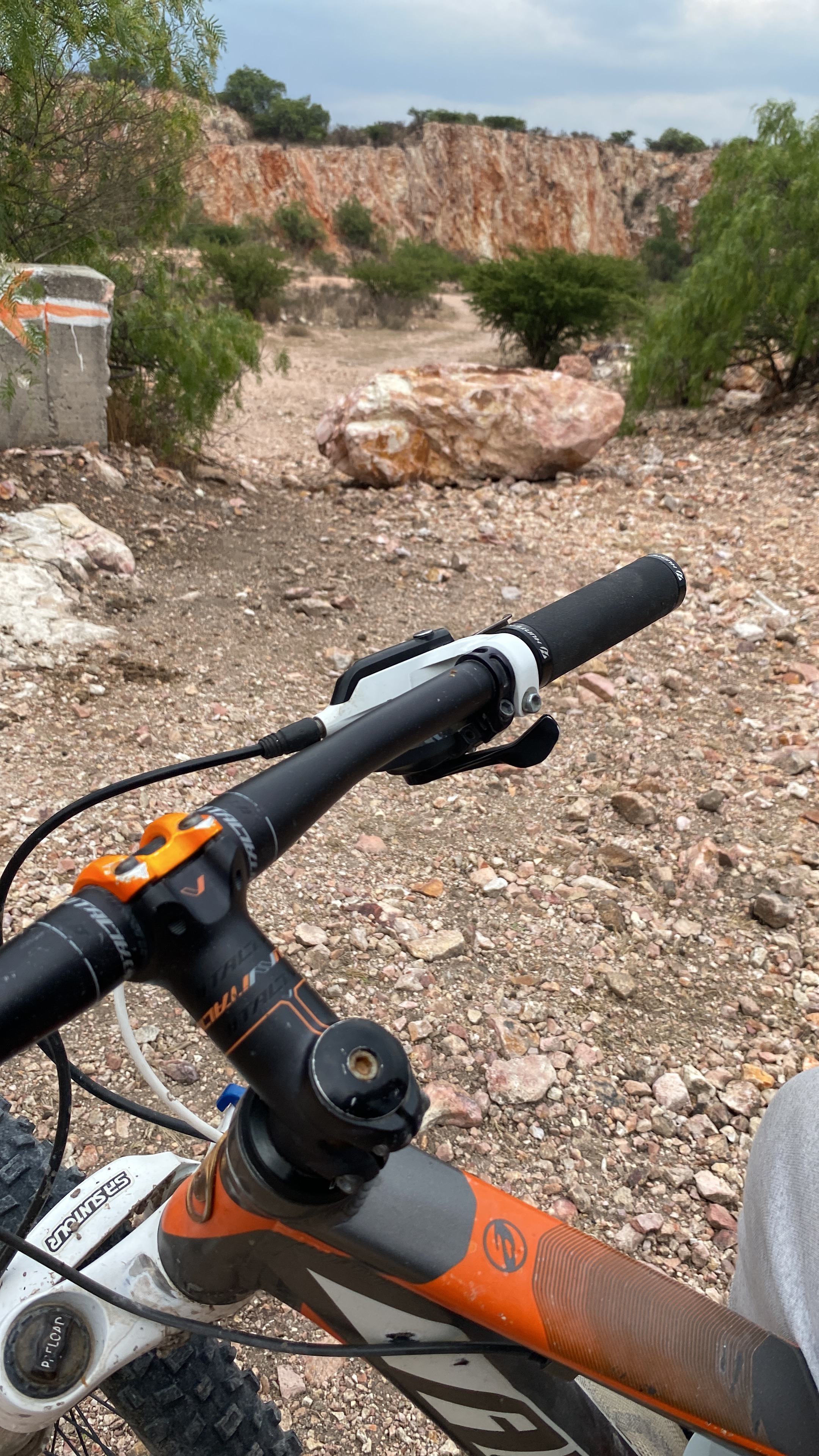
Route photos

Route quality
Waytypes & surfaces along the route
Waytypes
Road
25.6 km
(58 %)
Quiet road
11.1 km
(25 %)
Surfaces
Paved
9 km
(20 %)
Unpaved
1 km
(2 %)
Paved (undefined)
9 km
(20 %)
Unpaved (undefined)
1 km
(2 %)
Undefined
34.5 km
(78 %)
Continue with Bikemap
Use, edit, or download this cycling route
You would like to ride Calle Manzanares, Tlapanaloya a Avenida Niños Héroes, Tlapanaloya or customize it for your own trip? Here is what you can do with this Bikemap route:
Free features
- Save this route as favorite or in collections
- Copy & plan your own version of this route
- Sync your route with Garmin or Wahoo
Premium features
Free trial for 3 days, or one-time payment. More about Bikemap Premium.
- Navigate this route on iOS & Android
- Export a GPX / KML file of this route
- Create your custom printout (try it for free)
- Download this route for offline navigation
Discover more Premium features.
Get Bikemap PremiumFrom our community
Other popular routes starting in Hueypoxtla
 Calle Manzanares, Tlapanaloya a Calle Manzanares, Tlapanaloya
- Distance
- 49.5 km
- Ascent
- 529 m
- Descent
- 516 m
- Location
- Hueypoxtla, Morelos, Mexico
 Avenida Miguel Hidalgo, Tlapanaloya a Avenida Niños Héroes, Tlapanaloya
- Distance
- 51.7 km
- Ascent
- 532 m
- Descent
- 525 m
- Location
- Hueypoxtla, Morelos, Mexico
- Calle Manzanares, Tlapanaloya a Avenida Niños Héroes, Tlapanaloya
- Distance
- 44.5 km
- Ascent
- 496 m
- Descent
- 493 m
- Location
- Hueypoxtla, Morelos, Mexico
 Avenida Miguel Hidalgo, Tlapanaloya a Avenida Niños Héroes, Tlapanaloya
- Distance
- 25 km
- Ascent
- 319 m
- Descent
- 316 m
- Location
- Hueypoxtla, Morelos, Mexico
Open it in the app