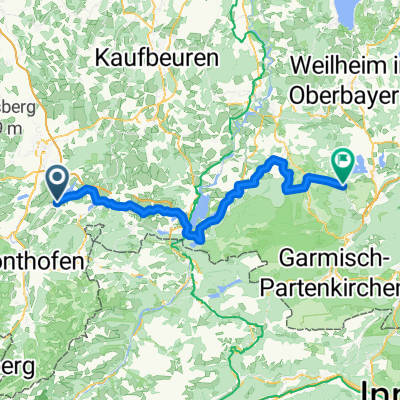
Sulzberg-Römerhaus-Hasenried-Aleuthe-Sulzberg
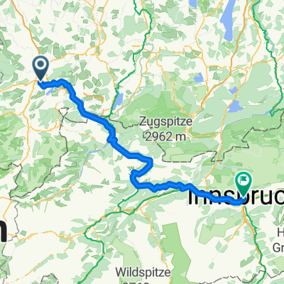
A cycling route starting in Sulzberg, Bavaria, Germany.
Overview
About this route
überwiegend geteert, ca 1km unbefestigter Schotterweg. Fahren kann man mit allen Fahrrädern, jedoch eher was für Mountainbikes. Aufgrund von Wetterwechsel musste ich die Strecke verkürzen,...
- -:--
- Duration
- 6.1 km
- Distance
- 209 m
- Ascent
- 208 m
- Descent
- ---
- Avg. speed
- ---
- Avg. speed
Route quality
Waytypes & surfaces along the route
Waytypes
Quiet road
5.9 km
(98 %)
Track
0.1 km
(2 %)
Undefined
0 km
(<1 %)
Surfaces
Paved
5.8 km
(95 %)
Unpaved
0.3 km
(5 %)
Asphalt
5.8 km
(95 %)
Gravel
0.3 km
(5 %)
Continue with Bikemap
Use, edit, or download this cycling route
You would like to ride Sulzberg-Römerhaus-Hasenried-Aleuthe-Sulzberg or customize it for your own trip? Here is what you can do with this Bikemap route:
Free features
- Save this route as favorite or in collections
- Copy & plan your own version of this route
- Sync your route with Garmin or Wahoo
Premium features
Free trial for 3 days, or one-time payment. More about Bikemap Premium.
- Navigate this route on iOS & Android
- Export a GPX / KML file of this route
- Create your custom printout (try it for free)
- Download this route for offline navigation
Discover more Premium features.
Get Bikemap PremiumFrom our community
Other popular routes starting in Sulzberg
- rund Öschlesee-Fuß
- Distance
- 3.5 km
- Ascent
- 8 m
- Descent
- 9 m
- Location
- Sulzberg, Bavaria, Germany
- Sulzberg-Römerhaus-Hasenried-Aleuthe-Sulzberg
- Distance
- 6.1 km
- Ascent
- 209 m
- Descent
- 208 m
- Location
- Sulzberg, Bavaria, Germany
- Camping Dopfer/Sulzberger See - Füssen
- Distance
- 43.2 km
- Ascent
- 459 m
- Descent
- 360 m
- Location
- Sulzberg, Bavaria, Germany
- Rottachsee
- Distance
- 14.7 km
- Ascent
- 224 m
- Descent
- 227 m
- Location
- Sulzberg, Bavaria, Germany
- Rottach-Grüntensee-Rundtour
- Distance
- 51.7 km
- Ascent
- 561 m
- Descent
- 561 m
- Location
- Sulzberg, Bavaria, Germany
- Tannheimer Tal - Oberjoch
- Distance
- 106.6 km
- Ascent
- 854 m
- Descent
- 852 m
- Location
- Sulzberg, Bavaria, Germany
- Biken am Rottachberg
- Distance
- 44.3 km
- Ascent
- 1,060 m
- Descent
- 1,058 m
- Location
- Sulzberg, Bavaria, Germany
- Rottachsee-Obersdorf-Rottachsee
- Distance
- 71.5 km
- Ascent
- 834 m
- Descent
- 834 m
- Location
- Sulzberg, Bavaria, Germany
Open it in the app