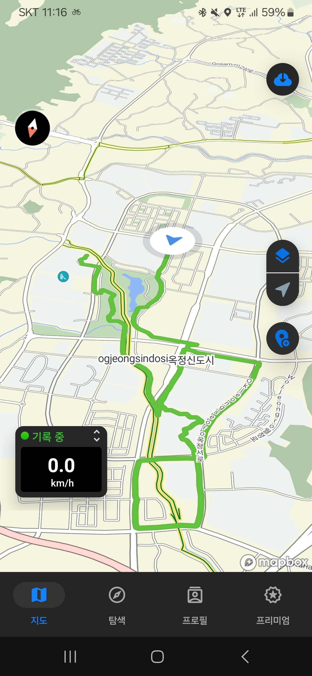
![백석읍 109-60Ph0]으로 라우팅](/_next/static/media/contour-lines-light-small.cafd5e5d.avif)
![백석읍 109-60Ph0]으로 라우팅](https://media.bikemap.net/routes/16714617/staticmaps/in_30d80c05-075c-42ec-9240-76ff2d10e600_694x400_bikemap-2021-3D-static.png)
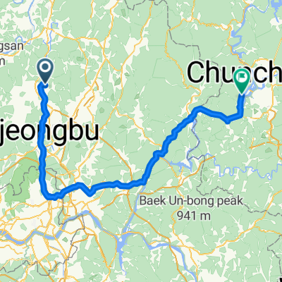
백석읍 109-60Ph0]으로 라우팅
A cycling route starting in Yangju, Gyeonggi-do, South Korea.
Overview
About this route
- 1 h 22 min
- Duration
- 24.5 km
- Distance
- 134 m
- Ascent
- 99 m
- Descent
- 17.8 km/h
- Avg. speed
- 109 m
- Max. altitude

Route quality
Waytypes & surfaces along the route
Waytypes
Cycleway
22.5 km
(92 %)
Road
1 km
(4 %)
Surfaces
Paved
5.9 km
(24 %)
Asphalt
5.9 km
(24 %)
Undefined
18.6 km
(76 %)
Continue with Bikemap
Use, edit, or download this cycling route
You would like to ride 백석읍 109-60Ph0]으로 라우팅 or customize it for your own trip? Here is what you can do with this Bikemap route:
Free features
- Save this route as favorite or in collections
- Copy & plan your own version of this route
- Sync your route with Garmin or Wahoo
Premium features
Free trial for 3 days, or one-time payment. More about Bikemap Premium.
- Navigate this route on iOS & Android
- Export a GPX / KML file of this route
- Create your custom printout (try it for free)
- Download this route for offline navigation
Discover more Premium features.
Get Bikemap PremiumFrom our community
Other popular routes starting in Yangju
![백석읍 109-60Ph0]으로 라우팅](https://media.bikemap.net/routes/16714617/staticmaps/in_30d80c05-075c-42ec-9240-76ff2d10e600_400x400_bikemap-2021-3D-static.png) 백석읍 109-60Ph0]으로 라우팅
백석읍 109-60Ph0]으로 라우팅- Distance
- 24.5 km
- Ascent
- 134 m
- Descent
- 99 m
- Location
- Yangju, Gyeonggi-do, South Korea
![Ph0]에서 경로생연동 222-24](https://media.bikemap.net/routes/16714642/staticmaps/in_ba0fd2c1-e722-43fc-9ae6-37bb75870a2a_400x400_bikemap-2021-3D-static.png) Ph0]에서 경로생연동 222-24
Ph0]에서 경로생연동 222-24- Distance
- 25.5 km
- Ascent
- 136 m
- Descent
- 120 m
- Location
- Yangju, Gyeonggi-do, South Korea
 옥정동, 양주시에서 언주로, 서울특별시까지
- Distance
- 42.4 km
- Ascent
- 163 m
- Descent
- 250 m
- Location
- Yangju, Gyeonggi-do, South Korea
 Hoecheon 1(il)-dong 268-4, Yangju-si to Hoecheon 1(il)-dong 180-9, Yangju-si
- Distance
- 14.1 km
- Ascent
- 264 m
- Descent
- 240 m
- Location
- Yangju, Gyeonggi-do, South Korea
 옥정동로1길, 양주시에서 옥정동로1길, 양주시까지
- Distance
- 52.5 km
- Ascent
- 561 m
- Descent
- 561 m
- Location
- Yangju, Gyeonggi-do, South Korea
 동두천에서 춘천으로
- Distance
- 119.1 km
- Ascent
- 1,302 m
- Descent
- 1,301 m
- Location
- Yangju, Gyeonggi-do, South Korea
 첫서울구경마장동
- Distance
- 91.5 km
- Ascent
- 593 m
- Descent
- 592 m
- Location
- Yangju, Gyeonggi-do, South Korea
 편안한 경로
- Distance
- 16.1 km
- Ascent
- 143 m
- Descent
- 157 m
- Location
- Yangju, Gyeonggi-do, South Korea
Open it in the app