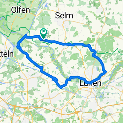
Halterner/Hullerner Stausee-Westruper Heide-Olfen_45 km
A cycling route starting in Datteln, North Rhine-Westphalia, Germany.
Overview
About this route
- 2 h 48 min
 - Duration
 - 45.4 km
 - Distance
 - 190 m
 - Ascent
 - 188 m
 - Descent
 - 16.2 km/h
 - Avg. speed
 - 79 m
 - Max. altitude
 
Route quality
Waytypes & surfaces along the route
Waytypes
Quiet road
5.9 km
(13 %)
Track
4.1 km
(9 %)
Surfaces
Paved
6.4 km
(14 %)
Unpaved
4.1 km
(9 %)
Asphalt
6.4 km
(14 %)
Gravel
2.7 km
(6 %)
Continue with Bikemap
Use, edit, or download this cycling route
You would like to ride Halterner/Hullerner Stausee-Westruper Heide-Olfen_45 km or customize it for your own trip? Here is what you can do with this Bikemap route:
Free features
- Save this route as favorite or in collections
 - Copy & plan your own version of this route
 - Sync your route with Garmin or Wahoo
 
Premium features
Free trial for 3 days, or one-time payment. More about Bikemap Premium.
- Navigate this route on iOS & Android
 - Export a GPX / KML file of this route
 - Create your custom printout (try it for free)
 - Download this route for offline navigation
 
Discover more Premium features.
Get Bikemap PremiumFrom our community
Other popular routes starting in Datteln
Halterner Stausee-Westruper Heide/Borkenberge-Olfen_49 km- Distance
 - 48.9 km
 - Ascent
 - 185 m
 - Descent
 - 184 m
 - Location
 - Datteln, North Rhine-Westphalia, Germany
 
Burgen Lüdinghausen-Schloss Nordkirchen-Selm_49 km- Distance
 - 48.4 km
 - Ascent
 - 142 m
 - Descent
 - 142 m
 - Location
 - Datteln, North Rhine-Westphalia, Germany
 
Rundkurs Haltern- Distance
 - 66.1 km
 - Ascent
 - 251 m
 - Descent
 - 267 m
 - Location
 - Datteln, North Rhine-Westphalia, Germany
 
Lüdinghausen-Schloss Nordkirchen-Selm_43 km- Distance
 - 42.9 km
 - Ascent
 - 137 m
 - Descent
 - 137 m
 - Location
 - Datteln, North Rhine-Westphalia, Germany
 
Halterner/Hullerner Stausee-Westruper Heide-Olfen_45 km- Distance
 - 45.4 km
 - Ascent
 - 190 m
 - Descent
 - 188 m
 - Location
 - Datteln, North Rhine-Westphalia, Germany
 
GPX Download: Blick auf Schloss Nordkirchen – Radweg an der Stever Runde von Olfen- Distance
 - 57.1 km
 - Ascent
 - 206 m
 - Descent
 - 206 m
 - Location
 - Datteln, North Rhine-Westphalia, Germany
 
GPX Download: Steveraue – Haus Visbeck Runde von Olfen- Distance
 - 51.5 km
 - Ascent
 - 202 m
 - Descent
 - 201 m
 - Location
 - Datteln, North Rhine-Westphalia, Germany
 
Runde zum alten Schiffshebewerk- Distance
 - 25.1 km
 - Ascent
 - 66 m
 - Descent
 - 63 m
 - Location
 - Datteln, North Rhine-Westphalia, Germany
 
Open it in the app


