

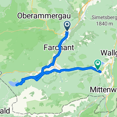
Mühlstraße, Oberau nach Levelingstraße, München
A cycling route starting in Oberau, Bavaria, Germany.
Overview
About this route
- 5 h 7 min
- Duration
- 97.4 km
- Distance
- 535 m
- Ascent
- 663 m
- Descent
- 19 km/h
- Avg. speed
- 680 m
- Max. altitude
Olli
created this 6 months ago
Route quality
Waytypes & surfaces along the route
Waytypes
Path
31.2 km
(32 %)
Quiet road
23.4 km
(24 %)
Surfaces
Paved
91.5 km
(94 %)
Unpaved
1 km
(1 %)
Asphalt
87.6 km
(90 %)
Paved (undefined)
2.9 km
(3 %)
Continue with Bikemap
Use, edit, or download this cycling route
You would like to ride Mühlstraße, Oberau nach Levelingstraße, München or customize it for your own trip? Here is what you can do with this Bikemap route:
Free features
- Save this route as favorite or in collections
- Copy & plan your own version of this route
- Split it into stages to create a multi-day tour
- Sync your route with Garmin or Wahoo
Premium features
Free trial for 3 days, or one-time payment. More about Bikemap Premium.
- Navigate this route on iOS & Android
- Export a GPX / KML file of this route
- Create your custom printout (try it for free)
- Download this route for offline navigation
Discover more Premium features.
Get Bikemap PremiumFrom our community
Other popular routes starting in Oberau
- Ettal-Rechtleralm-Esterbergalm
- 67.2 km
- 1,779 m
- 1,779 m
- Oberau, Bavaria, Germany
- 2014 - 4. Tag Oberau - Igels
- 97.2 km
- 959 m
- 745 m
- Oberau, Bavaria, Germany
- Mühlstraße, Oberau nach Levelingstraße, München
- 110.2 km
- 558 m
- 687 m
- Oberau, Bavaria, Germany
- Oberau-Weilheim ü Kohlgrub
- 48.3 km
- 305 m
- 394 m
- Oberau, Bavaria, Germany
- Ettaler Sattel + Ammersattel - Plansee u. zurück
- 62.5 km
- 652 m
- 652 m
- Oberau, Bavaria, Germany
- BRB-3 Bella Ronda Bavarica - Tag 3 - Von Oberau nach Klais - 47,3km 760hm
- 49 km
- 1,159 m
- 883 m
- Oberau, Bavaria, Germany
- Oberau - Murnau - Seeshaupt - Penzberg - Kochel - Oberau
- 94.3 km
- 474 m
- 492 m
- Oberau, Bavaria, Germany


Open it in the app