
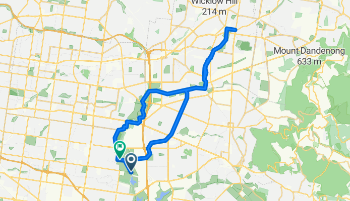
Jells Park via Dandenong & Tarralla Creek trail.
A cycling route starting in Wantirna South, Victoria, Australia.
Overview
About this route
- 2 h 35 min
- Duration
- 42.1 km
- Distance
- 162 m
- Ascent
- 155 m
- Descent
- 16.3 km/h
- Avg. speed
- 125 m
- Max. altitude
Route quality
Waytypes & surfaces along the route
Waytypes
Cycleway
35.4 km
(84 %)
Quiet road
3.4 km
(8 %)
Surfaces
Paved
27.8 km
(66 %)
Unpaved
5.5 km
(13 %)
Asphalt
21.5 km
(51 %)
Concrete
5.1 km
(12 %)
Continue with Bikemap
Use, edit, or download this cycling route
You would like to ride Jells Park via Dandenong & Tarralla Creek trail. or customize it for your own trip? Here is what you can do with this Bikemap route:
Free features
- Save this route as favorite or in collections
- Copy & plan your own version of this route
- Sync your route with Garmin or Wahoo
Premium features
Free trial for 3 days, or one-time payment. More about Bikemap Premium.
- Navigate this route on iOS & Android
- Export a GPX / KML file of this route
- Create your custom printout (try it for free)
- Download this route for offline navigation
Discover more Premium features.
Get Bikemap PremiumFrom our community
Other popular routes starting in Wantirna South
 Lilydale
- Distance
- 21.5 km
- Ascent
- 160 m
- Descent
- 150 m
- Location
- Wantirna South, Victoria, Australia
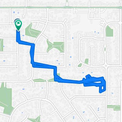 Walsh Avenue to Walsh Avenue
- Distance
- 4.7 km
- Ascent
- 45 m
- Descent
- 49 m
- Location
- Wantirna South, Victoria, Australia
 hash wantirna south
- Distance
- 10.5 km
- Ascent
- 50 m
- Descent
- 51 m
- Location
- Wantirna South, Victoria, Australia
 Jells Park via Dandenong & Tarralla Creek trail.
- Distance
- 42.1 km
- Ascent
- 162 m
- Descent
- 155 m
- Location
- Wantirna South, Victoria, Australia
 Walsh Avenue to Oxford Street
- Distance
- 12.1 km
- Ascent
- 195 m
- Descent
- 188 m
- Location
- Wantirna South, Victoria, Australia
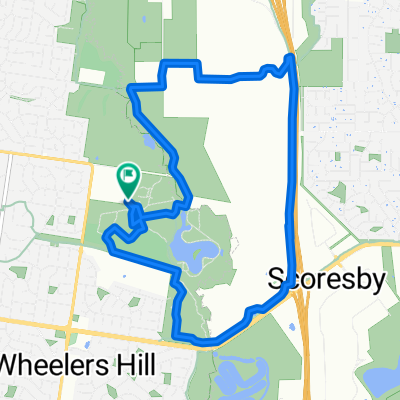
 Dandenong Park trail
- Distance
- 20.6 km
- Ascent
- 58 m
- Descent
- 127 m
- Location
- Wantirna South, Victoria, Australia
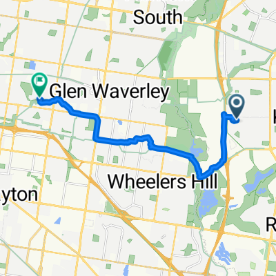
 Mulgrave Ward, Wheelers Hill to Mulgrave Ward, Wheelers Hill
- Distance
- 10.9 km
- Ascent
- 102 m
- Descent
- 104 m
- Location
- Wantirna South, Victoria, Australia
 Blind Creek
- Distance
- 29 km
- Ascent
- 237 m
- Descent
- 235 m
- Location
- Wantirna South, Victoria, Australia
Open it in the app