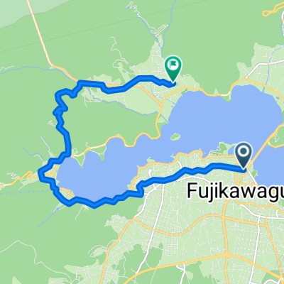
MYSTAYS 富士山展望温泉酒店 to Fujiyoshida
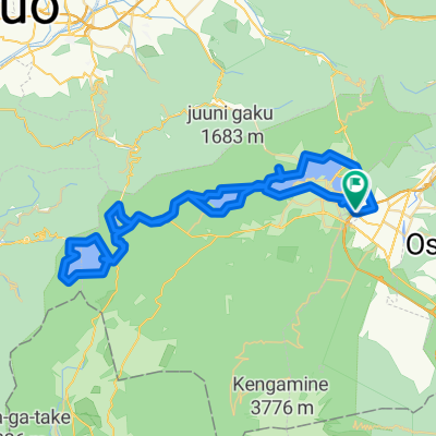
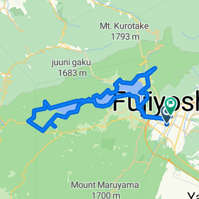
- 103.6 km
- 2,488 m
- 2,488 m
- Fujikawaguchiko, Yamanashi, Japan
A cycling route starting in Fujikawaguchiko, Yamanashi, Japan.
Overview
created this 6 months ago
Continue with Bikemap
You would like to ride MYSTAYS 富士山展望温泉酒店 to Fujiyoshida or customize it for your own trip? Here is what you can do with this Bikemap route:
Free trial for 3 days, or one-time payment. More about Bikemap Premium.
Discover more Premium features.
Get Bikemap PremiumFrom our community
Open it in the app