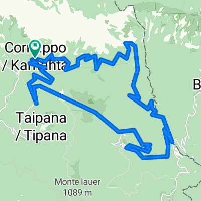
Cornappo - Montemaggiore - Platischis
- 31 km
- 1,027 m
- 1,030 m
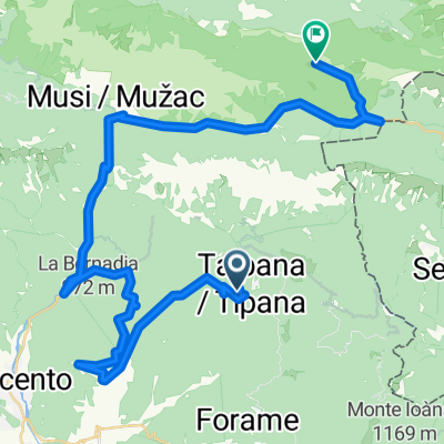
- Taipana, Friuli Venezia Giulia, Italy
A cycling route starting in Taipana, Friuli Venezia Giulia, Italy.
Overview
Mostly offroad, nice circuit. Can be made shorter and lss offroad by taking asphalt shortcut. . .
created this 13 years ago
Route quality
Track
15.7 km
(74 %)
Quiet road
4 km
(19 %)
Road
1.5 km
(7 %)
Paved
1.1 km
(5 %)
Unpaved
15.3 km
(72 %)
Gravel
14.4 km
(68 %)
Ground
0.8 km
(4 %)
Continue with Bikemap
You would like to ride Crnavoda tour or customize it for your own trip? Here is what you can do with this Bikemap route:
Free trial for 3 days, or one-time payment. More about Bikemap Premium.
Discover more Premium features.
Get Bikemap PremiumFrom our community
Open it in the app