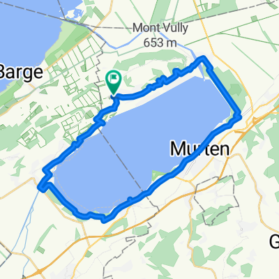
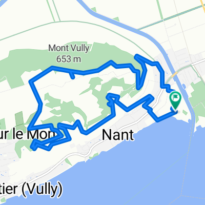
Route du bas du Village, Lugnorre nach Chemin des Tilleuls, Sugiez
A cycling route starting in Bas-Vully, Canton of Fribourg, Switzerland.
Overview
About this route
- 30 min
- Duration
- 7.3 km
- Distance
- 247 m
- Ascent
- 146 m
- Descent
- 14.7 km/h
- Avg. speed
- 653 m
- Avg. speed
Route quality
Waytypes & surfaces along the route
Waytypes
Track
4 km
(55 %)
Quiet road
3 km
(41 %)
Surfaces
Paved
5.7 km
(78 %)
Unpaved
1.4 km
(19 %)
Paved (undefined)
3.8 km
(51 %)
Concrete
1.3 km
(17 %)
Continue with Bikemap
Use, edit, or download this cycling route
You would like to ride Route du bas du Village, Lugnorre nach Chemin des Tilleuls, Sugiez or customize it for your own trip? Here is what you can do with this Bikemap route:
Free features
- Save this route as favorite or in collections
- Copy & plan your own version of this route
- Sync your route with Garmin or Wahoo
Premium features
Free trial for 3 days, or one-time payment. More about Bikemap Premium.
- Navigate this route on iOS & Android
- Export a GPX / KML file of this route
- Create your custom printout (try it for free)
- Download this route for offline navigation
Discover more Premium features.
Get Bikemap PremiumFrom our community
Other popular routes starting in Bas-Vully
- Bike push up Training Mont Vully
- Distance
- 16.7 km
- Ascent
- 478 m
- Descent
- 478 m
- Location
- Bas-Vully, Canton of Fribourg, Switzerland
- Route im Schneckentempo in Gampelen
- Distance
- 12.9 km
- Ascent
- 0 m
- Descent
- 0 m
- Location
- Bas-Vully, Canton of Fribourg, Switzerland
- RLS2018_Route7_Mont Vully-Cudrefin
- Distance
- 10 km
- Ascent
- 60 m
- Descent
- 260 m
- Location
- Bas-Vully, Canton of Fribourg, Switzerland
- RF Ried - Salvenach
- Distance
- 43.2 km
- Ascent
- 366 m
- Descent
- 368 m
- Location
- Bas-Vully, Canton of Fribourg, Switzerland
- Neuchatel see
- Distance
- 96.1 km
- Ascent
- 267 m
- Descent
- 264 m
- Location
- Bas-Vully, Canton of Fribourg, Switzerland
- 46.950, 7.068 nach 46.950, 7.067
- Distance
- 16.4 km
- Ascent
- 184 m
- Descent
- 182 m
- Location
- Bas-Vully, Canton of Fribourg, Switzerland
- Sugiez-Aeschi-90km-1190Hm
- Distance
- 91.5 km
- Ascent
- 1,375 m
- Descent
- 956 m
- Location
- Bas-Vully, Canton of Fribourg, Switzerland
- SVP-Route
- Distance
- 34.7 km
- Ascent
- 177 m
- Descent
- 181 m
- Location
- Bas-Vully, Canton of Fribourg, Switzerland