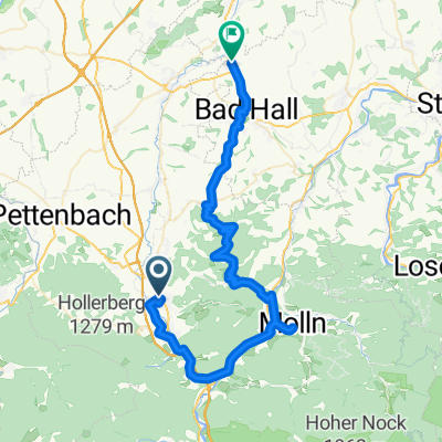
Zur Schönen Aussicht
- 58.6 km
- 1,119 m
- 1,214 m
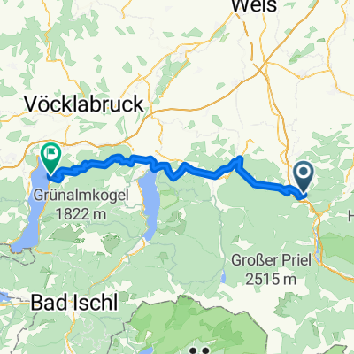
- Micheldorf in Oberösterreich, Upper Austria, Austria
A cycling route starting in Micheldorf in Oberösterreich, Upper Austria, Austria.
Overview
created this 6 months ago
Route quality
Quiet road
12.6 km
(38 %)
Road
8.6 km
(26 %)
Paved
12.2 km
(37 %)
Unpaved
8.6 km
(26 %)
Asphalt
8.9 km
(27 %)
Loose gravel
6 km
(18 %)
Continue with Bikemap
You would like to ride Von Klaus an der Pyhrnbahn bis Rosenau am Hengstpaß or customize it for your own trip? Here is what you can do with this Bikemap route:
Free trial for 3 days, or one-time payment. More about Bikemap Premium.
Discover more Premium features.
Get Bikemap PremiumFrom our community
Open it in the app