Sand - Prettau - Kehreralm
- 30.7 km
- 949 m
- 0 m
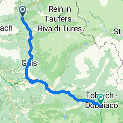
- Sand in Taufers, Trentino-Alto Adige, Italy
A cycling route starting in Sand in Taufers, Trentino-Alto Adige, Italy.
Overview
created this 6 months ago
Route quality
Cycleway
39.7 km
(39 %)
Quiet road
26.4 km
(26 %)
Paved
84.4 km
(83 %)
Asphalt
81.3 km
(80 %)
Paved (undefined)
3.1 km
(3 %)
Undefined
17.3 km
(17 %)
Continue with Bikemap
You would like to ride Via Unterpojen, Campo Tures to Bahnhofsplatz, Lienz or customize it for your own trip? Here is what you can do with this Bikemap route:
Free trial for 3 days, or one-time payment. More about Bikemap Premium.
Discover more Premium features.
Get Bikemap PremiumFrom our community
Open it in the app