
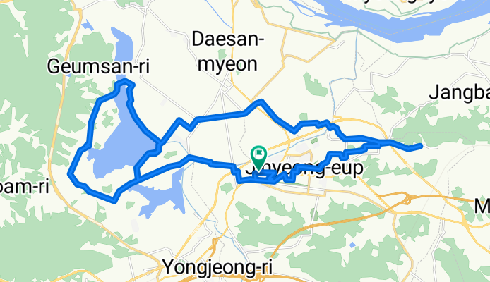
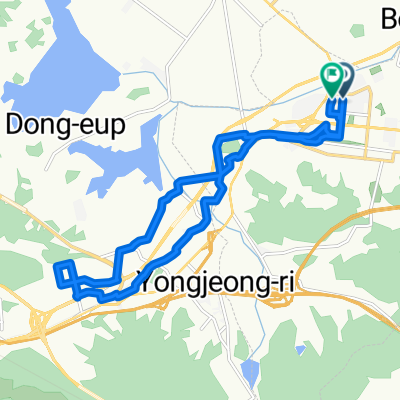
진영읍 572-1 ~ 진영읍 572-1
A cycling route starting in Changwon, Gyeongsangnam-do, South Korea.
Overview
About this route
- 2 h 11 min
- Duration
- 34.2 km
- Distance
- 161 m
- Ascent
- 161 m
- Descent
- 15.7 km/h
- Avg. speed
- 27 m
- Max. altitude
Route quality
Waytypes & surfaces along the route
Waytypes
Road
11.3 km
(33 %)
Quiet road
10.3 km
(30 %)
Surfaces
Paved
12.7 km
(37 %)
Unpaved
5.1 km
(15 %)
Concrete
6.5 km
(19 %)
Asphalt
6.2 km
(18 %)
Continue with Bikemap
Use, edit, or download this cycling route
You would like to ride 진영읍 572-1 ~ 진영읍 572-1 or customize it for your own trip? Here is what you can do with this Bikemap route:
Free features
- Save this route as favorite or in collections
- Copy & plan your own version of this route
- Sync your route with Garmin or Wahoo
Premium features
Free trial for 3 days, or one-time payment. More about Bikemap Premium.
- Navigate this route on iOS & Android
- Export a GPX / KML file of this route
- Create your custom printout (try it for free)
- Download this route for offline navigation
Discover more Premium features.
Get Bikemap PremiumFrom our community
Other popular routes starting in Changwon
 Daesan-myeon 747 to Bugok-myeon 234-2, Changyeong
- Distance
- 48.6 km
- Ascent
- 126 m
- Descent
- 87 m
- Location
- Changwon, Gyeongsangnam-do, South Korea
 느린 주행
느린 주행- Distance
- 1.5 km
- Ascent
- 94 m
- Descent
- 126 m
- Location
- Changwon, Gyeongsangnam-do, South Korea
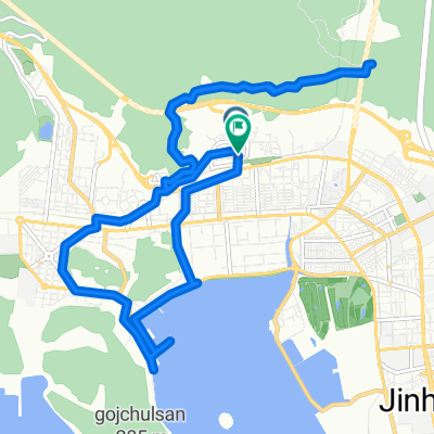 경화동 1280-6 ~ 경화동 1280-6
- Distance
- 17.7 km
- Ascent
- 396 m
- Descent
- 423 m
- Location
- Changwon, Gyeongsangnam-do, South Korea
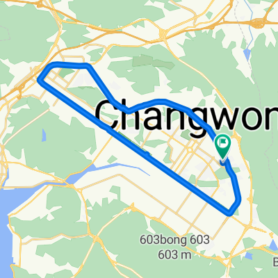 사파동 112-8 ~ 사파동 112-8
- Distance
- 25.8 km
- Ascent
- 152 m
- Descent
- 182 m
- Location
- Changwon, Gyeongsangnam-do, South Korea
 진영읍 572-1 ~ 진영읍 572-1
- Distance
- 34.2 km
- Ascent
- 161 m
- Descent
- 161 m
- Location
- Changwon, Gyeongsangnam-do, South Korea
 35.222, 128.675에서 35.232, 128.689까지
- Distance
- 9.2 km
- Ascent
- 103 m
- Descent
- 85 m
- Location
- Changwon, Gyeongsangnam-do, South Korea
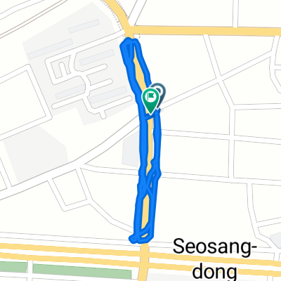 보통 경로
보통 경로- Distance
- 2.2 km
- Ascent
- 81 m
- Descent
- 107 m
- Location
- Changwon, Gyeongsangnam-do, South Korea
 서재골공원 ~ 서재골공원
- Distance
- 17.6 km
- Ascent
- 82 m
- Descent
- 83 m
- Location
- Changwon, Gyeongsangnam-do, South Korea
Open it in the app