04422-0360-Vienne-MoidieuDetourbe-EyzinPinet-Jardin-Vienne
- 38 km
- 434 m
- 327 m
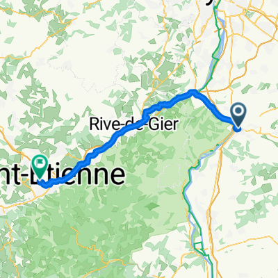
- Sainte-Colombe, Auvergne-Rhône-Alpes, France
A cycling route starting in Sainte-Colombe, Auvergne-Rhône-Alpes, France.
Overview
70 km to Valence... could manage that in a day...
created this 13 years ago
Route quality
Quiet road
16.5 km
(21 %)
Road
9.4 km
(12 %)
Paved
37.8 km
(48 %)
Unpaved
2.4 km
(3 %)
Asphalt
37.8 km
(48 %)
Gravel
2.4 km
(3 %)
Undefined
38.6 km
(49 %)
Continue with Bikemap
You would like to ride 2. Teil or customize it for your own trip? Here is what you can do with this Bikemap route:
Free trial for 3 days, or one-time payment. More about Bikemap Premium.
Discover more Premium features.
Get Bikemap PremiumFrom our community
Open it in the app