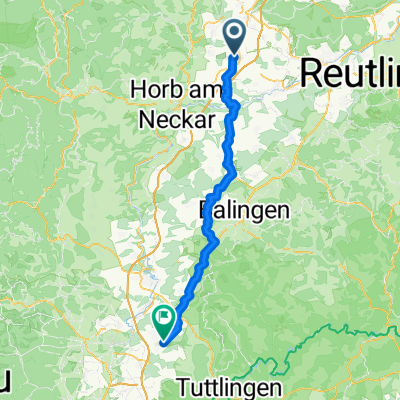
kleine Nordschwarzwaldrunde
- 61.7 km
- 720 m
- 720 m
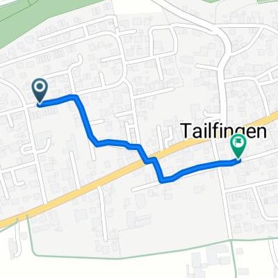
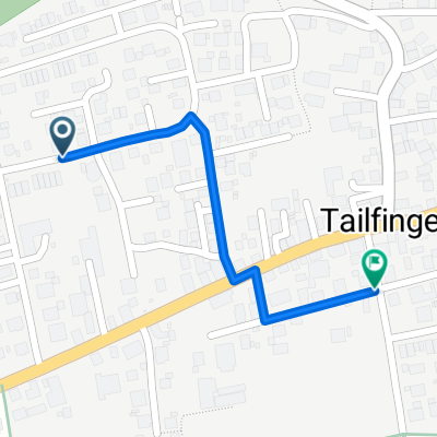
- Bondorf, Baden-Wurttemberg, Germany
A cycling route starting in Bondorf, Baden-Wurttemberg, Germany.
Overview
challenging tour
created this 16 years ago
Route quality
Road
33 km
(30 %)
Track
16.5 km
(15 %)
Paved
89.2 km
(81 %)
Unpaved
6.6 km
(6 %)
Asphalt
85.8 km
(78 %)
Paved (undefined)
3.3 km
(3 %)
Continue with Bikemap
You would like to ride Schwarzwald: Nagoldtal-Enztal or customize it for your own trip? Here is what you can do with this Bikemap route:
Free trial for 3 days, or one-time payment. More about Bikemap Premium.
Discover more Premium features.
Get Bikemap PremiumFrom our community
Open it in the app