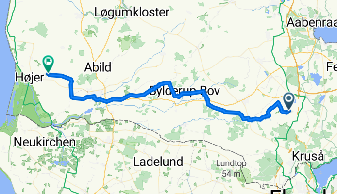


Rote Straße nach Dundelum
- 30.9 km
- 198 m
- 236 m
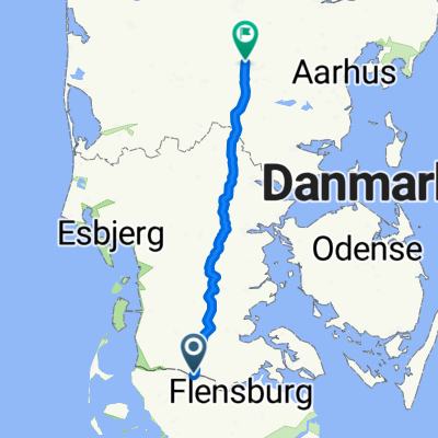
- Tinglev, Region South Denmark, Denmark
A cycling route starting in Tinglev, Region South Denmark, Denmark.
Overview
created this 6 months ago
Route quality
Quiet road
32 km
(61 %)
Road
11 km
(21 %)
Paved
41.5 km
(79 %)
Unpaved
5.8 km
(11 %)
Asphalt
41.5 km
(79 %)
Gravel
4.7 km
(9 %)
Continue with Bikemap
You would like to ride From Åbenrå to Højer or customize it for your own trip? Here is what you can do with this Bikemap route:
Free trial for 3 days, or one-time payment. More about Bikemap Premium.
Discover more Premium features.
Get Bikemap PremiumFrom our community
Open it in the app