2025.08.31_E_Heim-Irlhof-RW-VOH-Kössing-Uchamühle-Niederland-Saubersrieth-Moosbach-Pleystein-Schwarzenbachweg-Heim
- 42.2 km
- 755 m
- 755 m
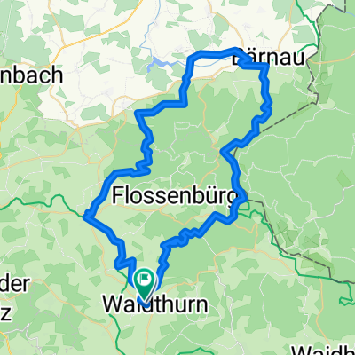
- Waldthurn, Bavaria, Germany
A cycling route starting in Waldthurn, Bavaria, Germany.
Overview
created this 6 months ago
Route quality
Track
7.8 km
(19 %)
Quiet road
7.4 km
(18 %)
Paved
13.5 km
(33 %)
Unpaved
7.8 km
(19 %)
Asphalt
13.5 km
(33 %)
Gravel
7 km
(17 %)
Continue with Bikemap
You would like to ride 2025.06.01_E_Heim-Irlhof-RW-Waldau-Neumühle-KV VOH-VOH-Platte-Pleystein-Bibershof-F´berg-Schinderweg-Hartingerhütte-Wampenhof-Spielberg-Heim or customize it for your own trip? Here is what you can do with this Bikemap route:
Free trial for 3 days, or one-time payment. More about Bikemap Premium.
Discover more Premium features.
Get Bikemap PremiumFrom our community
Open it in the app