

stage 1
A cycling route starting in Vanderbijlpark, Gauteng, Republic of South Africa.
Overview
About this route
- 60 h 25 min
- Duration
- 961.8 km
- Distance
- 11,717 m
- Ascent
- 13,159 m
- Descent
- 15.9 km/h
- Avg. speed
- 1,899 m
- Max. altitude
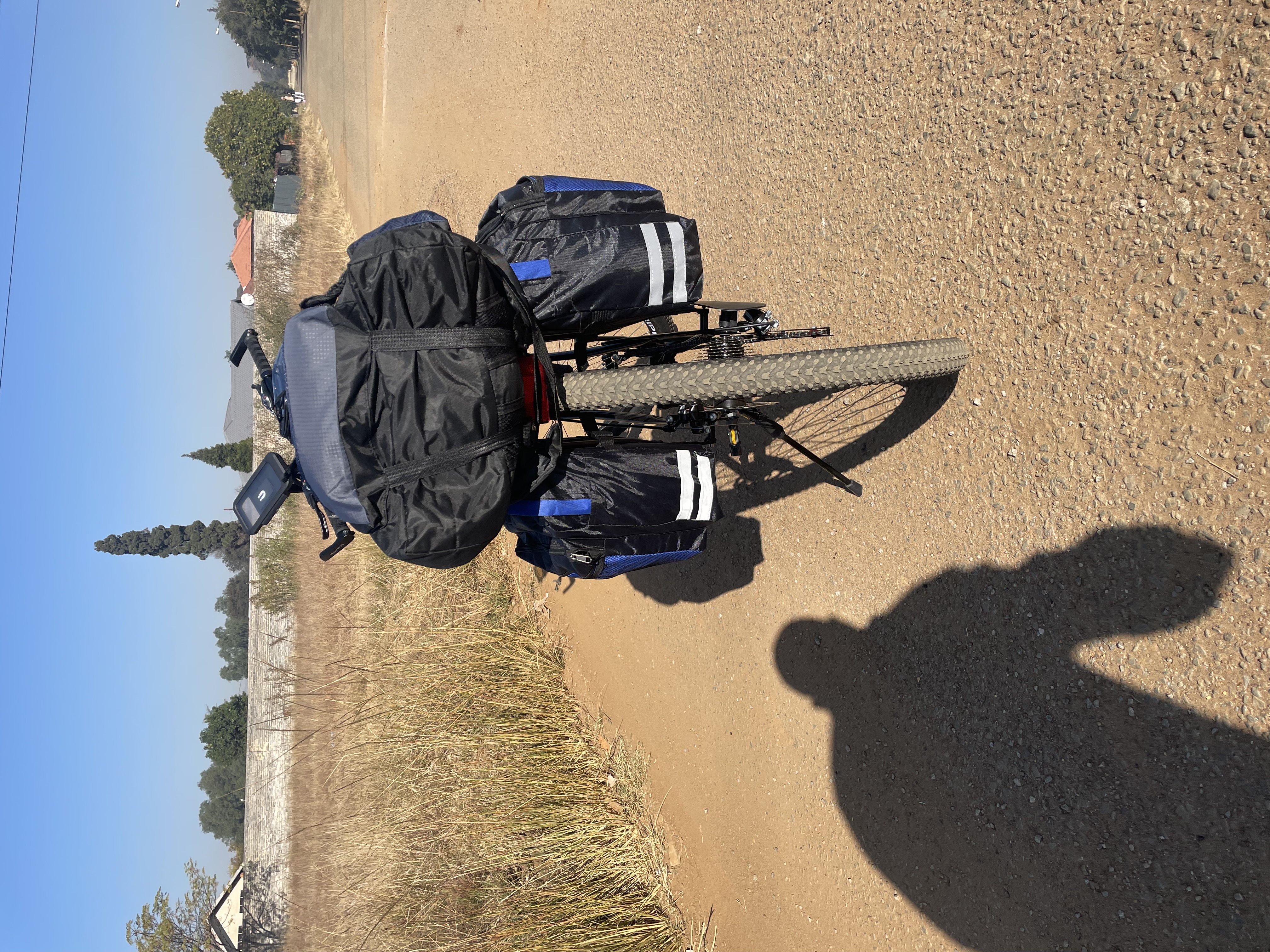
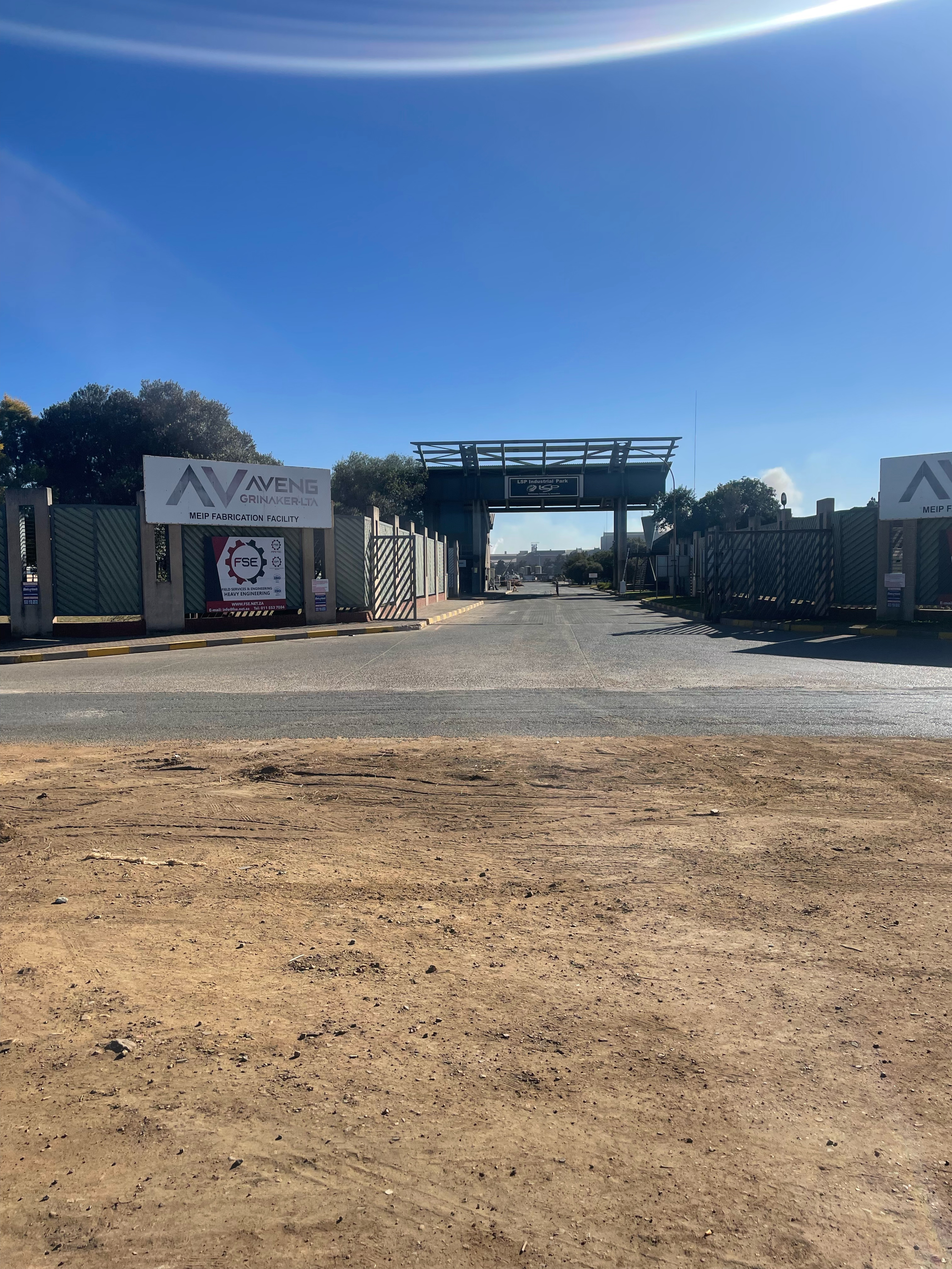
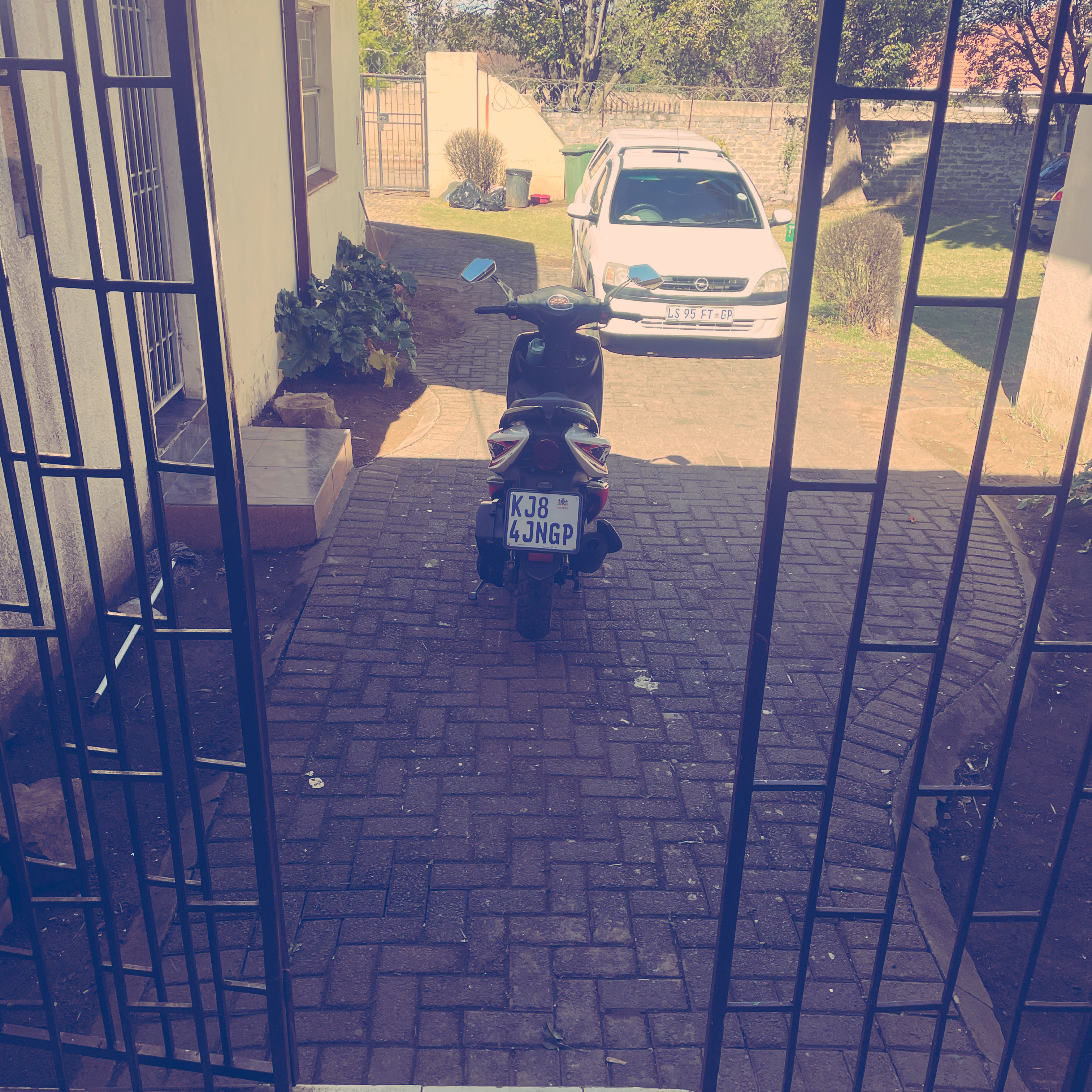
Route photos


Route quality
Waytypes & surfaces along the route
Waytypes
Road
379.3 km
(39 %)
Busy road
348.5 km
(36 %)
Surfaces
Paved
512.2 km
(53 %)
Unpaved
283.1 km
(29 %)
Asphalt
503.5 km
(52 %)
Unpaved (undefined)
142.5 km
(15 %)
Continue with Bikemap
Use, edit, or download this cycling route
You would like to ride stage 1 or customize it for your own trip? Here is what you can do with this Bikemap route:
Free features
- Save this route as favorite or in collections
- Copy & plan your own version of this route
- Split it into stages to create a multi-day tour
- Sync your route with Garmin or Wahoo
Premium features
Free trial for 3 days, or one-time payment. More about Bikemap Premium.
- Navigate this route on iOS & Android
- Export a GPX / KML file of this route
- Create your custom printout (try it for free)
- Download this route for offline navigation
Discover more Premium features.
Get Bikemap PremiumFrom our community
Other popular routes starting in Vanderbijlpark
 Maclear Street 14, Vanderbijlpark to Maclear Street 15, Vanderbijlpark
- Distance
- 5.1 km
- Ascent
- 33 m
- Descent
- 32 m
- Location
- Vanderbijlpark, Gauteng, Republic of South Africa
 Aurora Avenue, Vereeniging to Aurora Avenue, Vereeniging
- Distance
- 15.3 km
- Ascent
- 130 m
- Descent
- 128 m
- Location
- Vanderbijlpark, Gauteng, Republic of South Africa
 Aurora Avenue, Vereeniging to Bedworth Park, Vereeniging
- Distance
- 27.6 km
- Ascent
- 105 m
- Descent
- 115 m
- Location
- Vanderbijlpark, Gauteng, Republic of South Africa
 plotte
- Distance
- 8.5 km
- Ascent
- 26 m
- Descent
- 26 m
- Location
- Vanderbijlpark, Gauteng, Republic of South Africa
 SW2, Silviavale
- Distance
- 7.3 km
- Ascent
- 18 m
- Descent
- 17 m
- Location
- Vanderbijlpark, Gauteng, Republic of South Africa
 Aurora Avenue, Vereeniging to Aurora Avenue, Vereeniging
- Distance
- 22.2 km
- Ascent
- 82 m
- Descent
- 92 m
- Location
- Vanderbijlpark, Gauteng, Republic of South Africa
 Aurora Avenue, Vereeniging to Aurora Avenue, Vereeniging
- Distance
- 23.8 km
- Ascent
- 99 m
- Descent
- 98 m
- Location
- Vanderbijlpark, Gauteng, Republic of South Africa
- stage 1
- Distance
- 961.8 km
- Ascent
- 11,717 m
- Descent
- 13,159 m
- Location
- Vanderbijlpark, Gauteng, Republic of South Africa
Open it in the app