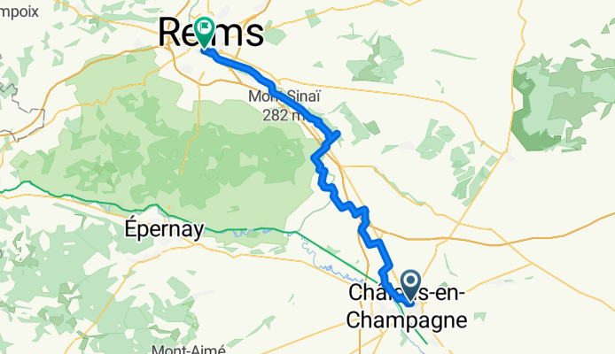

Tours-sur-Marne - Saint-Erme-Outre-et-Ramecourt
- 59.3 km
- 162 m
- 173 m
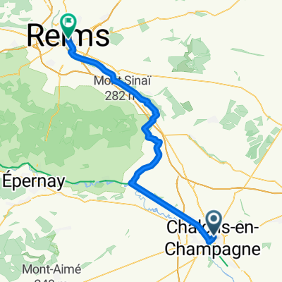
- Châlons-en-Champagne, Grand Est, France
A cycling route starting in Châlons-en-Champagne, Grand Est, France.
Overview
created this 6 months ago
Route quality
Quiet road
18 km
(32 %)
Track
11.8 km
(21 %)
Paved
23.1 km
(41 %)
Unpaved
4.5 km
(8 %)
Asphalt
21.9 km
(39 %)
Unpaved (undefined)
2.8 km
(5 %)
Continue with Bikemap
You would like to ride Chalon-sur-Saône to Reims or customize it for your own trip? Here is what you can do with this Bikemap route:
Free trial for 3 days, or one-time payment. More about Bikemap Premium.
Discover more Premium features.
Get Bikemap PremiumFrom our community
Open it in the app