

traversare_Costesti_ziua3
A cycling route starting in Voineasa, Vâlcea County, Romania.
Overview
About this route
Ira, Horatiu, Alex + serpasii din bancul precedent
- -:--
- Duration
- 68.4 km
- Distance
- 1,061 m
- Ascent
- 1,568 m
- Descent
- ---
- Avg. speed
- ---
- Max. altitude

Route quality
Waytypes & surfaces along the route
Waytypes
Quiet road
31.5 km
(46 %)
Road
4.1 km
(6 %)
Surfaces
Paved
35.6 km
(52 %)
Unpaved
32.8 km
(48 %)
Asphalt
35.6 km
(52 %)
Gravel
30.8 km
(45 %)
Route highlights
Points of interest along the route

Point of interest after 0 km

Point of interest after 0 km

Point of interest after 2.8 km

Point of interest after 2.9 km

Point of interest after 4.1 km

Point of interest after 5.6 km

Point of interest after 7 km

Point of interest after 7.2 km

Point of interest after 11.4 km

Point of interest after 25.7 km

Point of interest after 27.1 km

Point of interest after 27.3 km

Point of interest after 27.6 km
bleah...

Point of interest after 28.1 km

Point of interest after 36.6 km

Point of interest after 55.7 km

Point of interest after 65.9 km
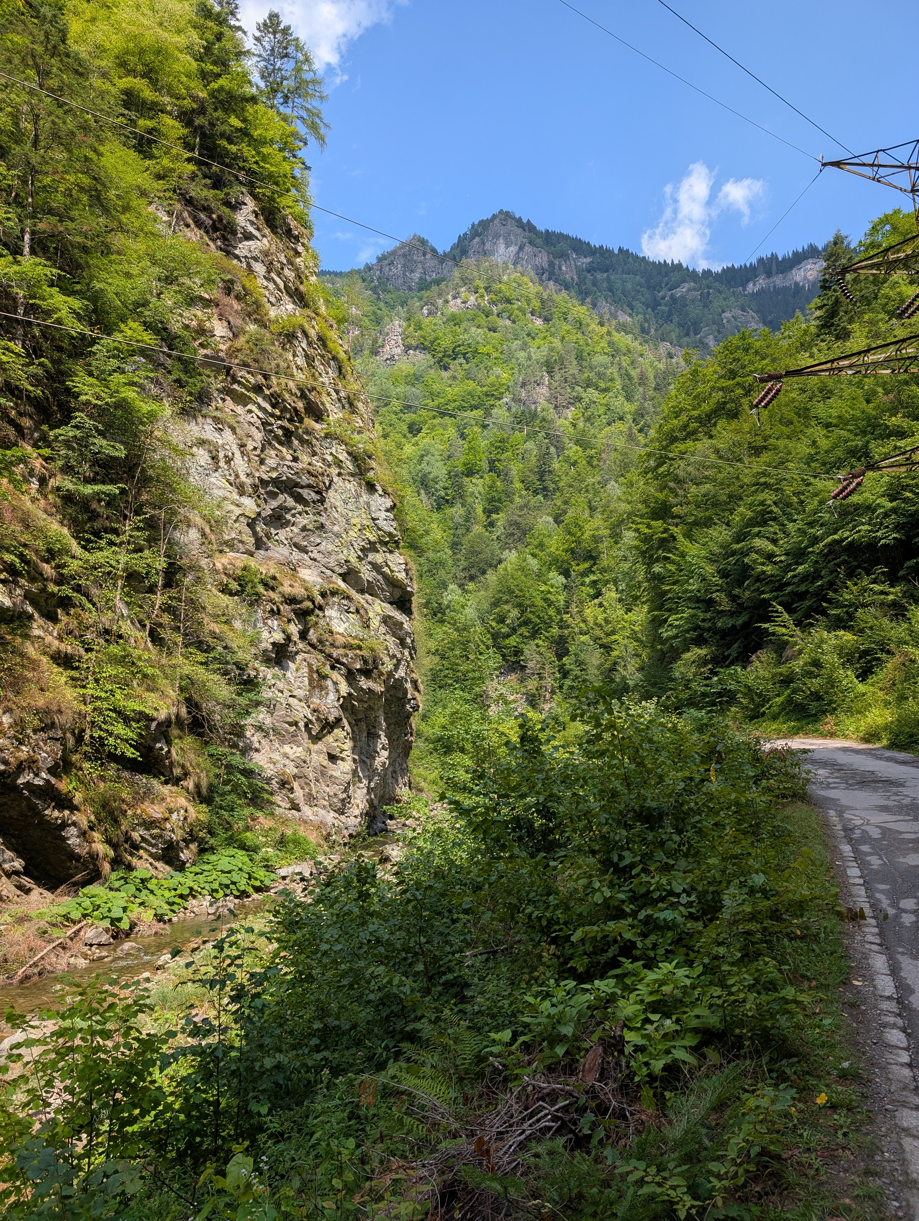
drumul oaselor...

Point of interest after 67.2 km

Point of interest after 68.3 km
Cercetasii in camp

Point of interest after 68.4 km
Cercetasii in camp
Continue with Bikemap
Use, edit, or download this cycling route
You would like to ride traversare_Costesti_ziua3 or customize it for your own trip? Here is what you can do with this Bikemap route:
Free features
- Save this route as favorite or in collections
- Copy & plan your own version of this route
- Sync your route with Garmin or Wahoo
Premium features
Free trial for 3 days, or one-time payment. More about Bikemap Premium.
- Navigate this route on iOS & Android
- Export a GPX / KML file of this route
- Create your custom printout (try it for free)
- Download this route for offline navigation
Discover more Premium features.
Get Bikemap PremiumFrom our community
Other popular routes starting in Voineasa
 Route from DJ701D
- Distance
- 15.1 km
- Ascent
- 1,267 m
- Descent
- 822 m
- Location
- Voineasa, Vâlcea County, Romania
 Valea Latoritei - Muntii Latoritei
- Distance
- 71.9 km
- Ascent
- 1,718 m
- Descent
- 1,720 m
- Location
- Voineasa, Vâlcea County, Romania
 TransCarpathians2010
- Distance
- 184.2 km
- Ascent
- 3,382 m
- Descent
- 3,383 m
- Location
- Voineasa, Vâlcea County, Romania
 S. Steflesti-vf. Cindrel-Oasa (pics)
- Distance
- 19.8 km
- Ascent
- 589 m
- Descent
- 1,046 m
- Location
- Voineasa, Vâlcea County, Romania
 Voineasa, drum forestier, Lacul Vidra, asfalt, Voineasa
- Distance
- 54.2 km
- Ascent
- 1,553 m
- Descent
- 1,553 m
- Location
- Voineasa, Vâlcea County, Romania
 Voineasa - Vidra Lake - Voineasa CLONED FROM ROUTE 1054637
- Distance
- 34.3 km
- Ascent
- 253 m
- Descent
- 1,205 m
- Location
- Voineasa, Vâlcea County, Romania
 traversare_Costesti_ziua3
- Distance
- 68.4 km
- Ascent
- 1,061 m
- Descent
- 1,568 m
- Location
- Voineasa, Vâlcea County, Romania
 varianta mai buna la coborare
- Distance
- 60.7 km
- Ascent
- 1,298 m
- Descent
- 1,298 m
- Location
- Voineasa, Vâlcea County, Romania
Open it in the app