![[VTT] JS LCP](/_next/static/media/contour-lines-light-small.cafd5e5d.avif)
![[VTT] JS LCP](https://media.bikemap.net/routes/1678378/staticmaps/in_43b47191-99a9-4492-9f14-1087a5cad37e_694x400_bikemap-2021-3D-static.png)
[VTT] JS LCP
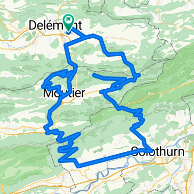
A cycling route starting in Courroux, Canton of Jura, Switzerland.
Overview
About this route
Itinéraire par étapes :
Delémont
Le Domont
La Golatte
La Haute Borne
Plain de la Chève
Crête
Ferme du Brunchenal
Le Béridier (crête)<br />
Le Vorbourg
Delémont
Courroux - Courcelon
Vicques
Retemberg
Pierreberg<br />
Delémont<br />
Des options sont possibles, entre roulant ou technique, sur ces secteurs :
Le Domont - La Golatte
Crête de la Haute Borne - deuxième partie
Crête du Béridier -deuxième partie
Vorbourg - Delémont
Crête du Roc de Courroux - première partie
Crête du Roc de Courroux - deuxième partie<br />
Créé par Noé Jobin et Bruno Vitali
- -:--
- Duration
- 45.5 km
- Distance
- 1,194 m
- Ascent
- 1,193 m
- Descent
- ---
- Avg. speed
- ---
- Max. altitude
Continue with Bikemap
Use, edit, or download this cycling route
You would like to ride [VTT] JS LCP or customize it for your own trip? Here is what you can do with this Bikemap route:
Free features
- Save this route as favorite or in collections
- Copy & plan your own version of this route
- Sync your route with Garmin or Wahoo
Premium features
Free trial for 3 days, or one-time payment. More about Bikemap Premium.
- Navigate this route on iOS & Android
- Export a GPX / KML file of this route
- Create your custom printout (try it for free)
- Download this route for offline navigation
Discover more Premium features.
Get Bikemap PremiumFrom our community
Other popular routes starting in Courroux
 Les Montagnes de Moutier
- Distance
- 125.7 km
- Ascent
- 3,108 m
- Descent
- 3,108 m
- Location
- Courroux, Canton of Jura, Switzerland
 Delemont Neuchatel
- Distance
- 331.2 km
- Ascent
- 2,973 m
- Descent
- 2,893 m
- Location
- Courroux, Canton of Jura, Switzerland
![[VTT] JS LCP](https://media.bikemap.net/routes/1678378/staticmaps/in_43b47191-99a9-4492-9f14-1087a5cad37e_400x400_bikemap-2021-3D-static.png) [VTT] JS LCP
[VTT] JS LCP- Distance
- 45.5 km
- Ascent
- 1,194 m
- Descent
- 1,193 m
- Location
- Courroux, Canton of Jura, Switzerland
 Delemont-Vermes-Moutier-Bassecourt-Bellelay-Delemont
- Distance
- 85.5 km
- Ascent
- 934 m
- Descent
- 932 m
- Location
- Courroux, Canton of Jura, Switzerland
 Rue du Quenêt 3, Courroux à Pont de la Birse, Delémont
- Distance
- 4.9 km
- Ascent
- 91 m
- Descent
- 56 m
- Location
- Courroux, Canton of Jura, Switzerland
 Boucle Haut-Plateau Valée de Delémont et Val terbi
- Distance
- 94.6 km
- Ascent
- 1,298 m
- Descent
- 1,297 m
- Location
- Courroux, Canton of Jura, Switzerland
 ValTerbi-Scheulte-Balstahl-Moutier
- Distance
- 75.6 km
- Ascent
- 913 m
- Descent
- 914 m
- Location
- Courroux, Canton of Jura, Switzerland
 Delémont - Bienne
- Distance
- 61.3 km
- Ascent
- 1,151 m
- Descent
- 1,135 m
- Location
- Courroux, Canton of Jura, Switzerland
Open it in the app