Faget ride long update
- 38.7 km
- 938 m
- 935 m
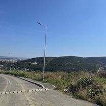
- Floreşti, Cluj County, Romania
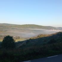
A cycling route starting in Floreşti, Cluj County, Romania.
Overview
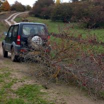
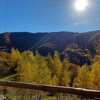
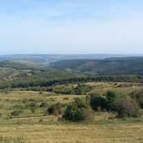
Kolozsvar - Gyalu - Melegszamos volgye - Poiana Horea (Gyalukaluluj regi neve) - Padis mh. - Csodavar mh. - piros kereszt jelzesen erdei osveny 2km - Kohaz (Casa de Piatra) - Felsogirda (Girda de sus) - Topanfalva (Campeni) - Borrev (Buru) - Torocko (Rimetea)
created this 13 years ago
Route quality
Quiet road
33 km
(14 %)
Track
23.6 km
(10 %)
Paved
181.7 km
(77 %)
Unpaved
47.2 km
(20 %)
Asphalt
181.7 km
(77 %)
Gravel
30.7 km
(13 %)
Continue with Bikemap
You would like to ride Kolozsvár-Pádis-Torockó or customize it for your own trip? Here is what you can do with this Bikemap route:
Free trial for 3 days, or one-time payment. More about Bikemap Premium.
Discover more Premium features.
Get Bikemap PremiumFrom our community
Open it in the app