
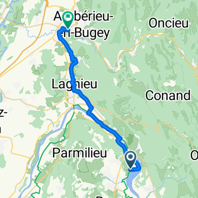
vallee bleue to amberieu station
A cycling route starting in Montalieu, Auvergne-Rhône-Alpes, France.
Overview
About this route
- 1 h 14 min
- Duration
- 22 km
- Distance
- 114 m
- Ascent
- 70 m
- Descent
- 17.8 km/h
- Avg. speed
- 274 m
- Max. altitude
Route quality
Waytypes & surfaces along the route
Waytypes
Cycleway
9.9 km
(45 %)
Road
4 km
(18 %)
Surfaces
Paved
15 km
(68 %)
Unpaved
1.1 km
(5 %)
Asphalt
14.1 km
(64 %)
Gravel
1.1 km
(5 %)
Continue with Bikemap
Use, edit, or download this cycling route
You would like to ride vallee bleue to amberieu station or customize it for your own trip? Here is what you can do with this Bikemap route:
Free features
- Save this route as favorite or in collections
- Copy & plan your own version of this route
- Sync your route with Garmin or Wahoo
Premium features
Free trial for 3 days, or one-time payment. More about Bikemap Premium.
- Navigate this route on iOS & Android
- Export a GPX / KML file of this route
- Create your custom printout (try it for free)
- Download this route for offline navigation
Discover more Premium features.
Get Bikemap PremiumFrom our community
Other popular routes starting in Montalieu
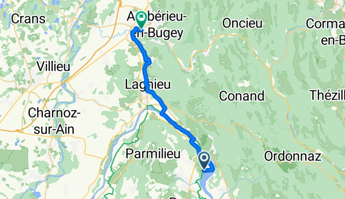
 vallee bleue to amberieu station
- Distance
- 22 km
- Ascent
- 114 m
- Descent
- 70 m
- Location
- Montalieu, Auvergne-Rhône-Alpes, France
 Circuit n°11 "Les Gorges de Verbois" sur TraceDeTrail.fr
- Distance
- 51.8 km
- Ascent
- 575 m
- Descent
- 575 m
- Location
- Montalieu, Auvergne-Rhône-Alpes, France
 Montagnieu - Chanaz
- Distance
- 79.9 km
- Ascent
- 401 m
- Descent
- 374 m
- Location
- Montalieu, Auvergne-Rhône-Alpes, France
 De Grande Rue à Chemin du Buis
- Distance
- 5 km
- Ascent
- 87 m
- Descent
- 6 m
- Location
- Montalieu, Auvergne-Rhône-Alpes, France
 De Rue des Carrières, Montalieu-Vercieu à Place de la République 11, Hières-sur-Amby
- Distance
- 28.4 km
- Ascent
- 241 m
- Descent
- 201 m
- Location
- Montalieu, Auvergne-Rhône-Alpes, France
 3a Le Vernay - Lyon
- Distance
- 61 km
- Ascent
- 331 m
- Descent
- 414 m
- Location
- Montalieu, Auvergne-Rhône-Alpes, France
 De Rue du Rhône 75, Montalieu-Vercieu à Place Charles de Gaulle 7, Vienne
- Distance
- 97.9 km
- Ascent
- 1,593 m
- Descent
- 1,629 m
- Location
- Montalieu, Auvergne-Rhône-Alpes, France
 Ballee Bleue - Saint Romain-de Jalionas
- Distance
- 39.6 km
- Ascent
- 386 m
- Descent
- 443 m
- Location
- Montalieu, Auvergne-Rhône-Alpes, France
Open it in the app