
prisen
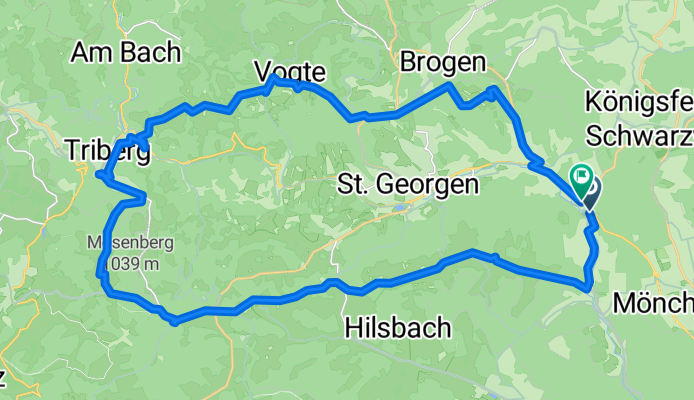
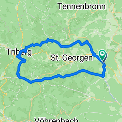
A cycling route starting in Königsfeld im Schwarzwald, Baden-Wurttemberg, Germany.
Overview
About this route
- 2 h 57 min
- Duration
- 38.6 km
- Distance
- 1,136 m
- Ascent
- 1,139 m
- Descent
- 13.1 km/h
- Avg. speed
- 1,039 m
- Max. altitude

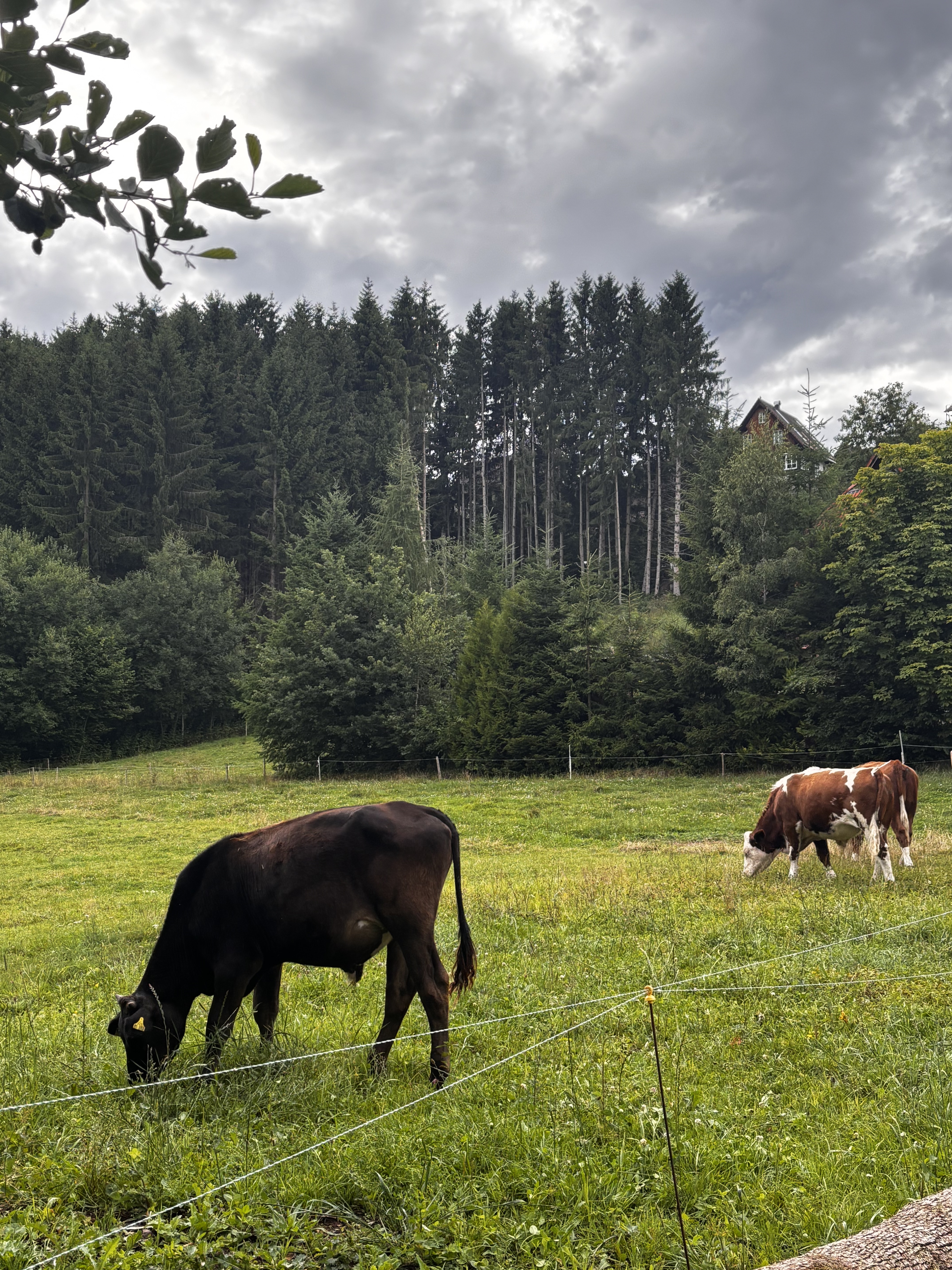
Route quality
Waytypes & surfaces along the route
Waytypes
Quiet road
16.6 km
(43 %)
Road
9.3 km
(24 %)
Surfaces
Paved
23.2 km
(60 %)
Unpaved
5.4 km
(14 %)
Asphalt
23.2 km
(60 %)
Gravel
4.2 km
(11 %)
Continue with Bikemap
Use, edit, or download this cycling route
You would like to ride prisen or customize it for your own trip? Here is what you can do with this Bikemap route:
Free features
- Save this route as favorite or in collections
- Copy & plan your own version of this route
- Sync your route with Garmin or Wahoo
Premium features
Free trial for 3 days, or one-time payment. More about Bikemap Premium.
- Navigate this route on iOS & Android
- Export a GPX / KML file of this route
- Create your custom printout (try it for free)
- Download this route for offline navigation
Discover more Premium features.
Get Bikemap PremiumFrom our community
Other popular routes starting in Königsfeld im Schwarzwald
 Auf den Berg und runter
- Distance
- 35.1 km
- Ascent
- 409 m
- Descent
- 409 m
- Location
- Königsfeld im Schwarzwald, Baden-Wurttemberg, Germany
 Königsfeld- über den Ramstein zu Windkapf und Staude
- Distance
- 40.7 km
- Ascent
- 595 m
- Descent
- 593 m
- Location
- Königsfeld im Schwarzwald, Baden-Wurttemberg, Germany
 Hörnlishofstraße, Königsfeld to Königsfelder Straße, Hardt
- Distance
- 7.2 km
- Ascent
- 121 m
- Descent
- 77 m
- Location
- Königsfeld im Schwarzwald, Baden-Wurttemberg, Germany
 Selva Negra en bici
- Distance
- 14.1 km
- Ascent
- 159 m
- Descent
- 161 m
- Location
- Königsfeld im Schwarzwald, Baden-Wurttemberg, Germany
 Waldau
- Distance
- 14.8 km
- Ascent
- 233 m
- Descent
- 253 m
- Location
- Königsfeld im Schwarzwald, Baden-Wurttemberg, Germany
 Hausstrecke Burgberg-Brogen-Hardt-Burgberg
- Distance
- 28.3 km
- Ascent
- 391 m
- Descent
- 373 m
- Location
- Königsfeld im Schwarzwald, Baden-Wurttemberg, Germany
 Königsfeld-Friedrichshöhe-Auerhahn
- Distance
- 44.1 km
- Ascent
- 490 m
- Descent
- 492 m
- Location
- Königsfeld im Schwarzwald, Baden-Wurttemberg, Germany
 prisen
- Distance
- 38.6 km
- Ascent
- 1,136 m
- Descent
- 1,139 m
- Location
- Königsfeld im Schwarzwald, Baden-Wurttemberg, Germany
Open it in the app