
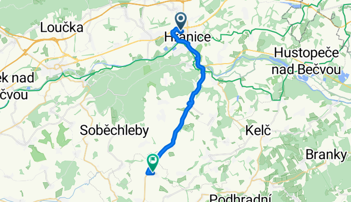
Struhlovsko do Vítonice
A cycling route starting in Hranice, Olomoucký kraj, Czechia.
Overview
About this route
- 1 h 26 min
- Duration
- 18.5 km
- Distance
- 234 m
- Ascent
- 271 m
- Descent
- 12.9 km/h
- Avg. speed
- 324 m
- Max. altitude
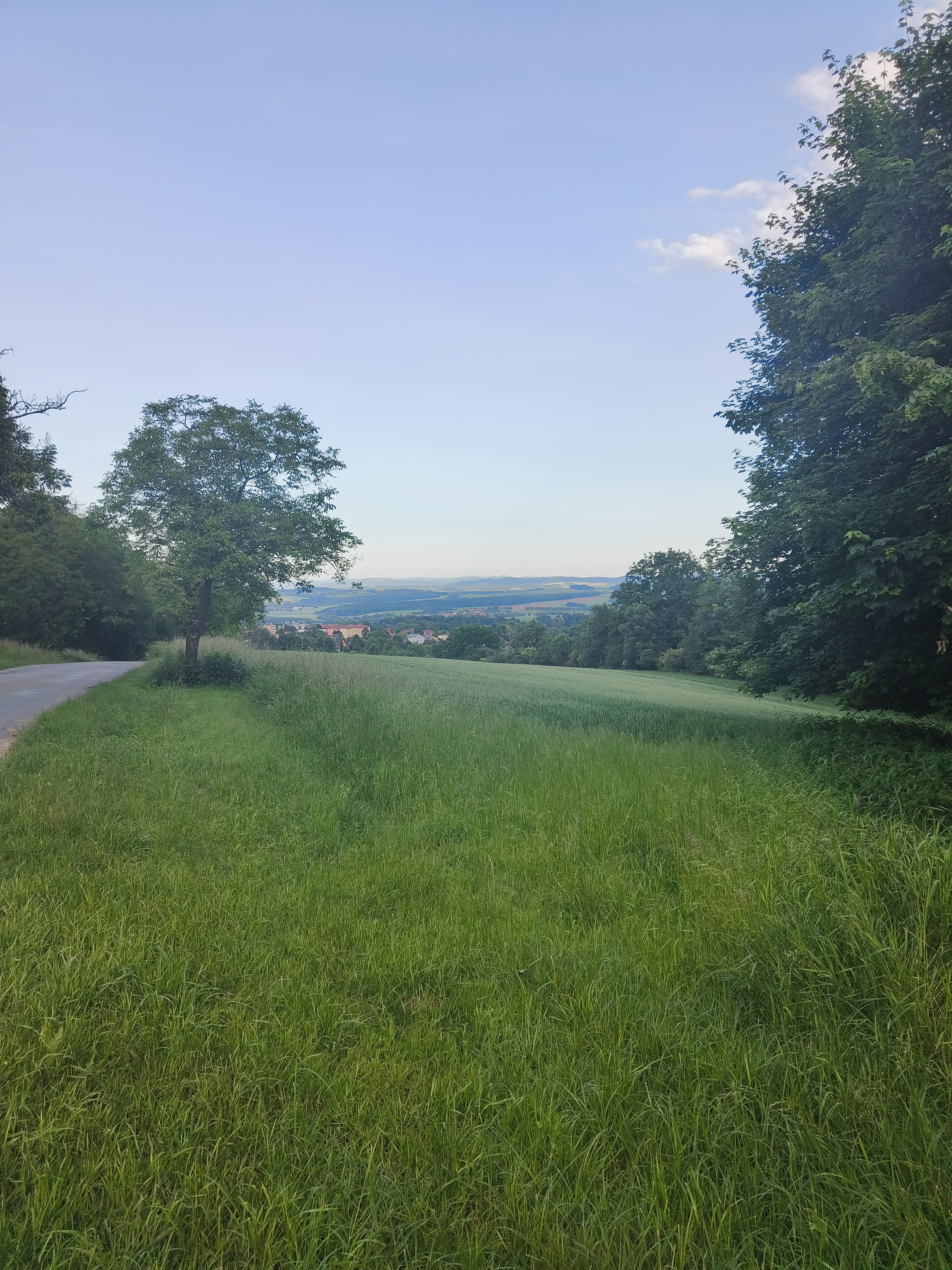
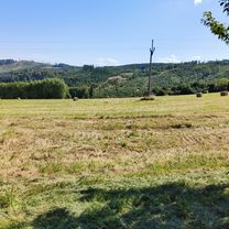
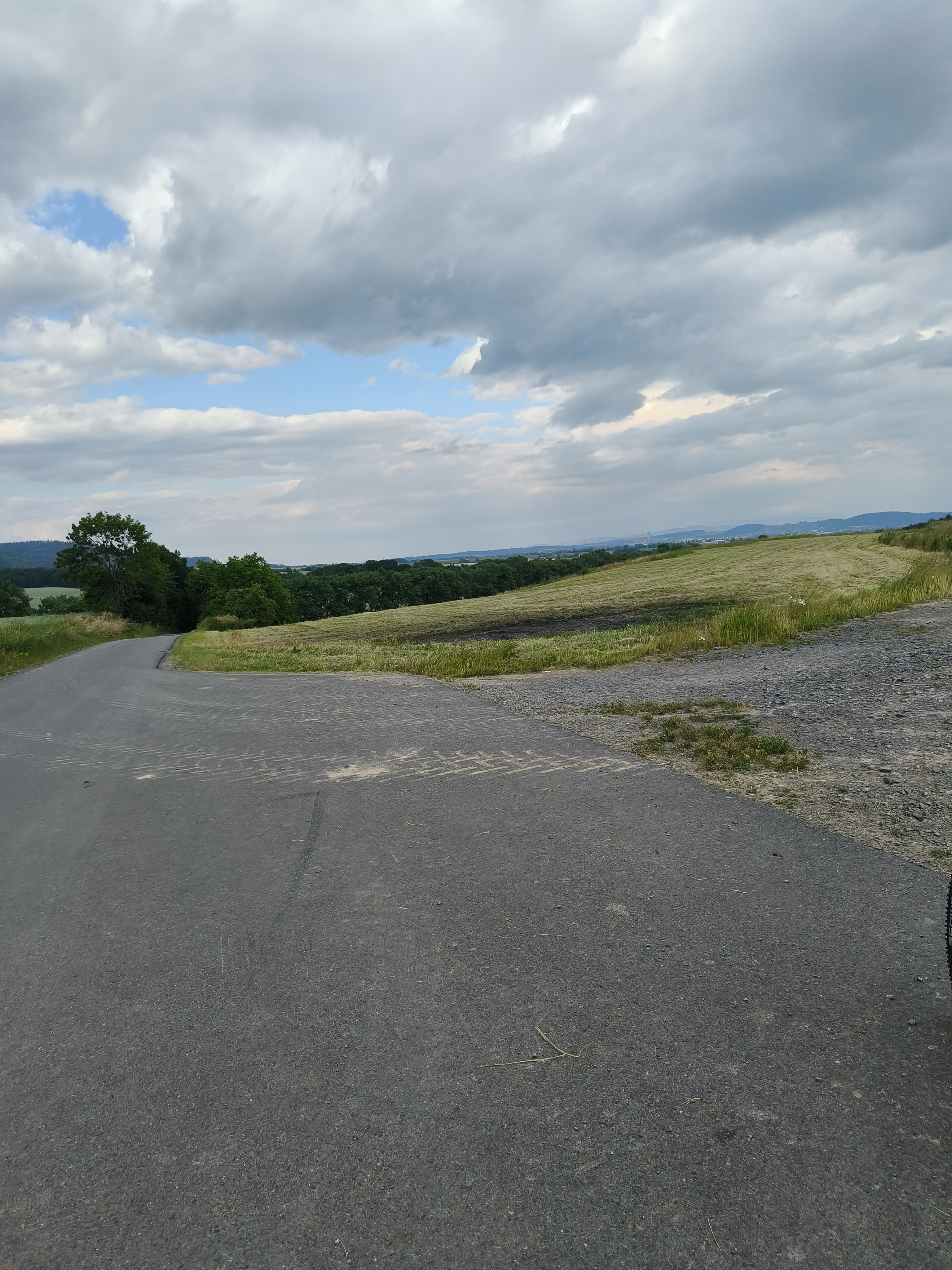
Route photos

Continue with Bikemap
Use, edit, or download this cycling route
You would like to ride Struhlovsko do Vítonice or customize it for your own trip? Here is what you can do with this Bikemap route:
Free features
- Save this route as favorite or in collections
- Copy & plan your own version of this route
- Sync your route with Garmin or Wahoo
Premium features
Free trial for 3 days, or one-time payment. More about Bikemap Premium.
- Navigate this route on iOS & Android
- Export a GPX / KML file of this route
- Create your custom printout (try it for free)
- Download this route for offline navigation
Discover more Premium features.
Get Bikemap PremiumFrom our community
Other popular routes starting in Hranice
 Středné delší trasa
- Distance
- 75.6 km
- Ascent
- 629 m
- Descent
- 629 m
- Location
- Hranice, Olomoucký kraj, Czechia
 mega rizz alfa cesta
- Distance
- 31.6 km
- Ascent
- 223 m
- Descent
- 212 m
- Location
- Hranice, Olomoucký kraj, Czechia
 10 ETAP 5 czerwca niedziela
- Distance
- 135.9 km
- Ascent
- 658 m
- Descent
- 608 m
- Location
- Hranice, Olomoucký kraj, Czechia
- Struhlovsko do Vítonice
- Distance
- 18.5 km
- Ascent
- 234 m
- Descent
- 271 m
- Location
- Hranice, Olomoucký kraj, Czechia
 Okruh do Jezernice
- Distance
- 37.6 km
- Ascent
- 361 m
- Descent
- 353 m
- Location
- Hranice, Olomoucký kraj, Czechia
 cesta zpátky
- Distance
- 29.3 km
- Ascent
- 356 m
- Descent
- 380 m
- Location
- Hranice, Olomoucký kraj, Czechia
 z Hranic do Milenova a zpět
- Distance
- 15.5 km
- Ascent
- 174 m
- Descent
- 262 m
- Location
- Hranice, Olomoucký kraj, Czechia
 Hranice - Přerov na kole kolem Bečvy
- Distance
- 29.4 km
- Ascent
- 101 m
- Descent
- 147 m
- Location
- Hranice, Olomoucký kraj, Czechia
Open it in the app