

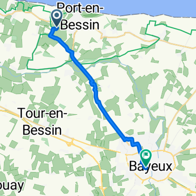
Chemin du Colombier, Port-en-Bessin-Huppain to Rue Pasteur, Saint-Aubin-sur-Mer
A cycling route starting in Port-en-Bessin-Huppain, Normandy, France.
Overview
About this route
- 3 h 51 min
- Duration
- 58.2 km
- Distance
- 266 m
- Ascent
- 310 m
- Descent
- 15.1 km/h
- Avg. speed
- 76 m
- Max. altitude

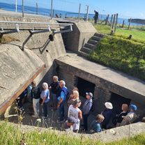
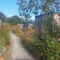
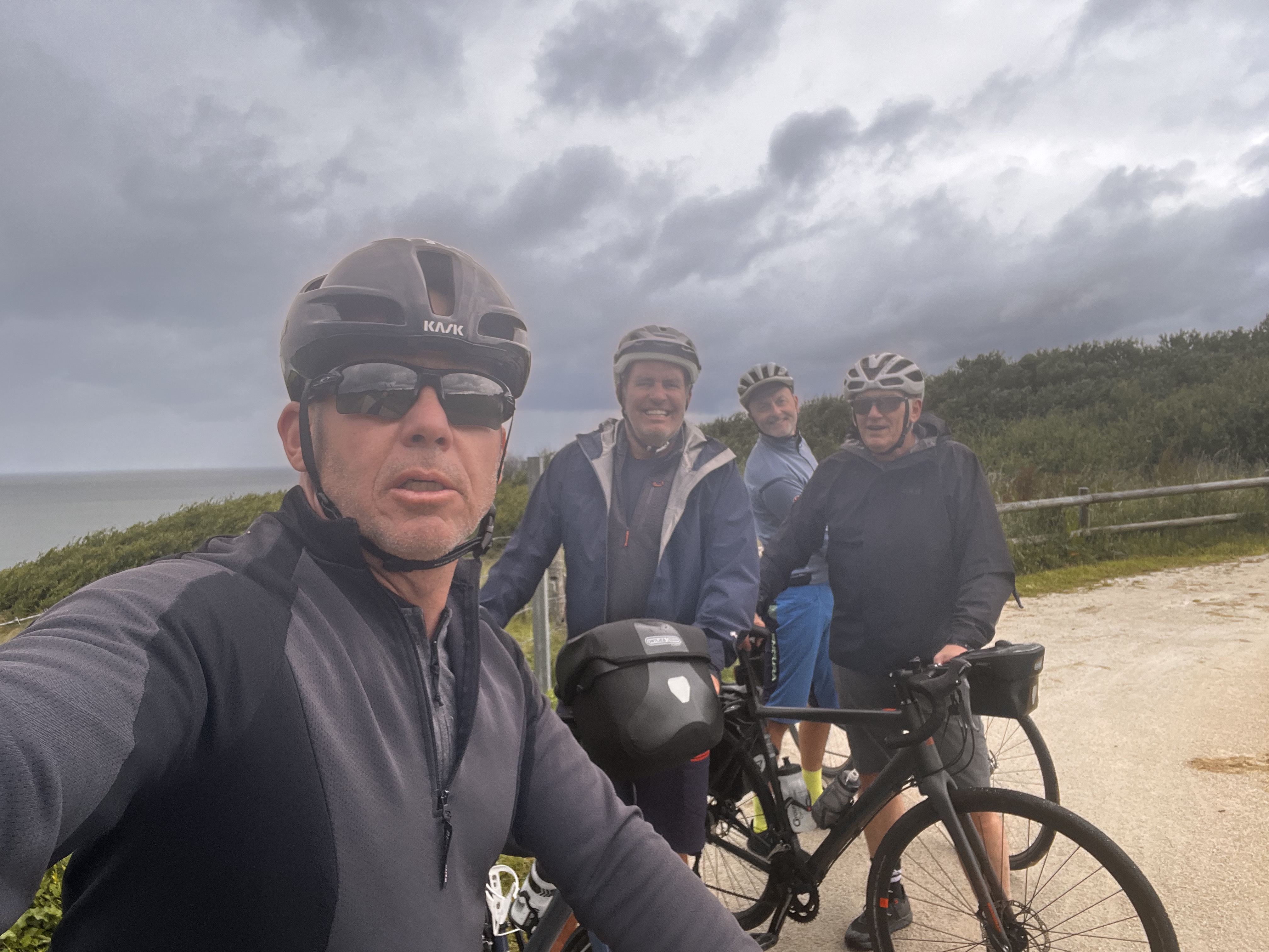
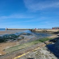
Route photos

Route quality
Waytypes & surfaces along the route
Waytypes
Path
20.9 km
(36 %)
Quiet road
19.2 km
(33 %)
Surfaces
Paved
29.7 km
(51 %)
Unpaved
19.2 km
(33 %)
Asphalt
28.5 km
(49 %)
Unpaved (undefined)
11 km
(19 %)
Continue with Bikemap
Use, edit, or download this cycling route
You would like to ride Chemin du Colombier, Port-en-Bessin-Huppain to Rue Pasteur, Saint-Aubin-sur-Mer or customize it for your own trip? Here is what you can do with this Bikemap route:
Free features
- Save this route as favorite or in collections
- Copy & plan your own version of this route
- Sync your route with Garmin or Wahoo
Premium features
Free trial for 3 days, or one-time payment. More about Bikemap Premium.
- Navigate this route on iOS & Android
- Export a GPX / KML file of this route
- Create your custom printout (try it for free)
- Download this route for offline navigation
Discover more Premium features.
Get Bikemap PremiumFrom our community
Other popular routes starting in Port-en-Bessin-Huppain
 Tag 22: Normandie 3
- Distance
- 56.3 km
- Ascent
- 405 m
- Descent
- 404 m
- Location
- Port-en-Bessin-Huppain, Normandy, France
 Bayeaux - Domaine Airborne
- Distance
- 66 km
- Ascent
- 199 m
- Descent
- 191 m
- Location
- Port-en-Bessin-Huppain, Normandy, France
 Port en Bessin bis Isigny
- Distance
- 53.6 km
- Ascent
- 351 m
- Descent
- 382 m
- Location
- Port-en-Bessin-Huppain, Normandy, France
 Rue Maréchal de Tourville nach Rue Maréchal de Tourville
- Distance
- 26.5 km
- Ascent
- 250 m
- Descent
- 290 m
- Location
- Port-en-Bessin-Huppain, Normandy, France
 Port-en-Bessin-Huppain nach Cabourg
- Distance
- 71.7 km
- Ascent
- 220 m
- Descent
- 270 m
- Location
- Port-en-Bessin-Huppain, Normandy, France
 Grandcamp-Maisy - Ver-sur-Mer
- Distance
- 10.2 km
- Ascent
- 74 m
- Descent
- 72 m
- Location
- Port-en-Bessin-Huppain, Normandy, France
 Route du Carrel, Colleville-sur-Mer to Chemin du Colombier, Port-en-Bessin-Huppain
- Distance
- 11.9 km
- Ascent
- 92 m
- Descent
- 121 m
- Location
- Port-en-Bessin-Huppain, Normandy, France
 Rue Jacques Cartier nach Rue Maréchal de Tourville
- Distance
- 3.1 km
- Ascent
- 15 m
- Descent
- 63 m
- Location
- Port-en-Bessin-Huppain, Normandy, France
Open it in the app