

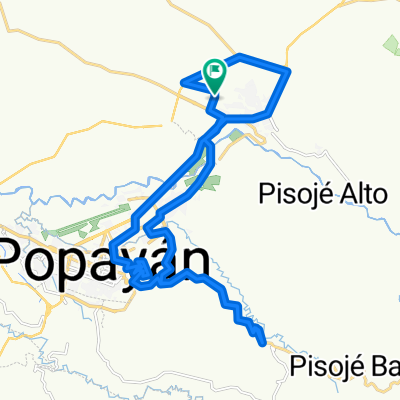
Popayan La Mina Volcán Purace
A cycling route starting in Popayán, Cauca Department, Colombia.
Overview
About this route
- 9 h 28 min
- Duration
- 94 km
- Distance
- 2,916 m
- Ascent
- 2,914 m
- Descent
- 9.9 km/h
- Avg. speed
- 3,625 m
- Max. altitude

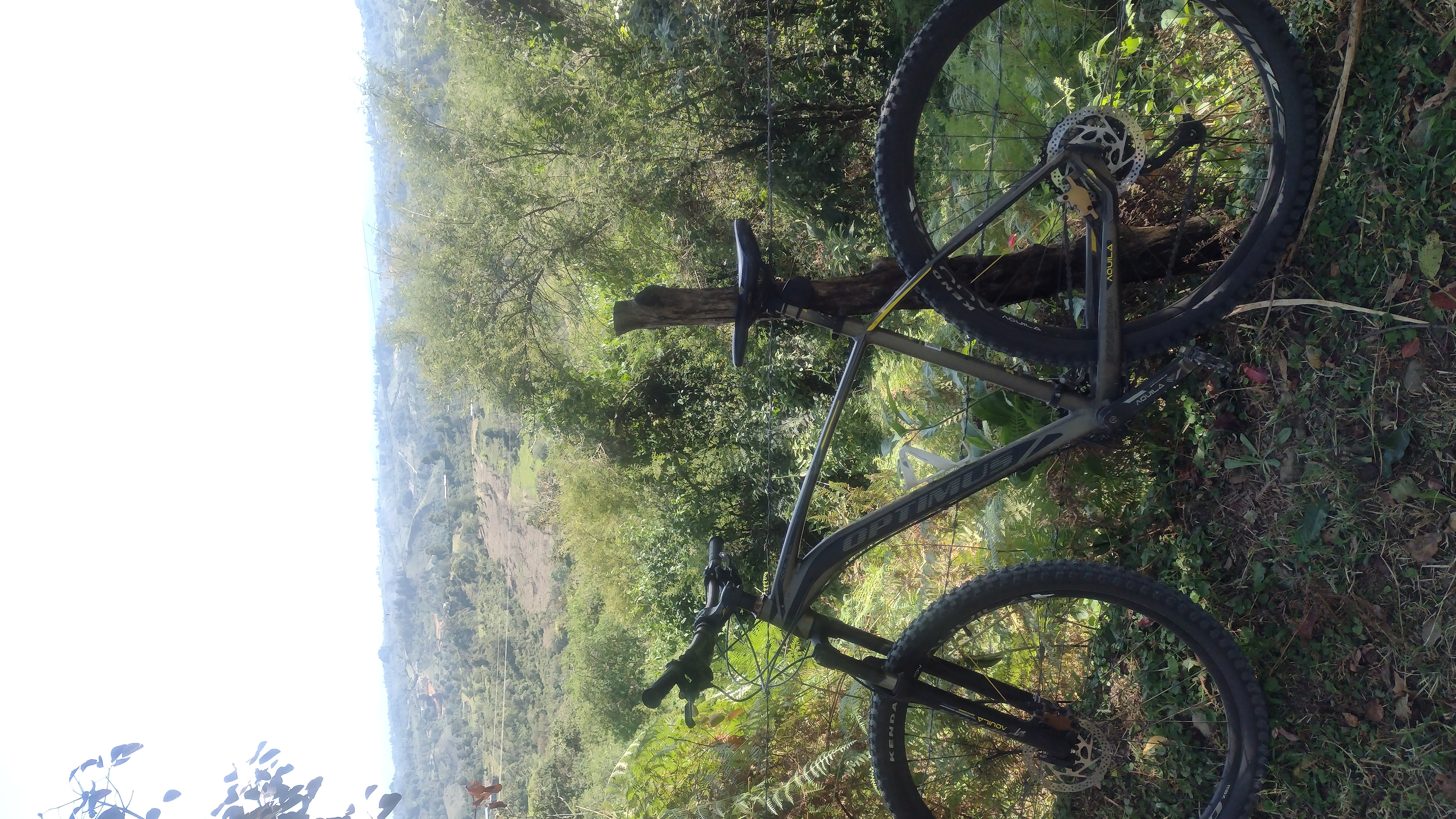
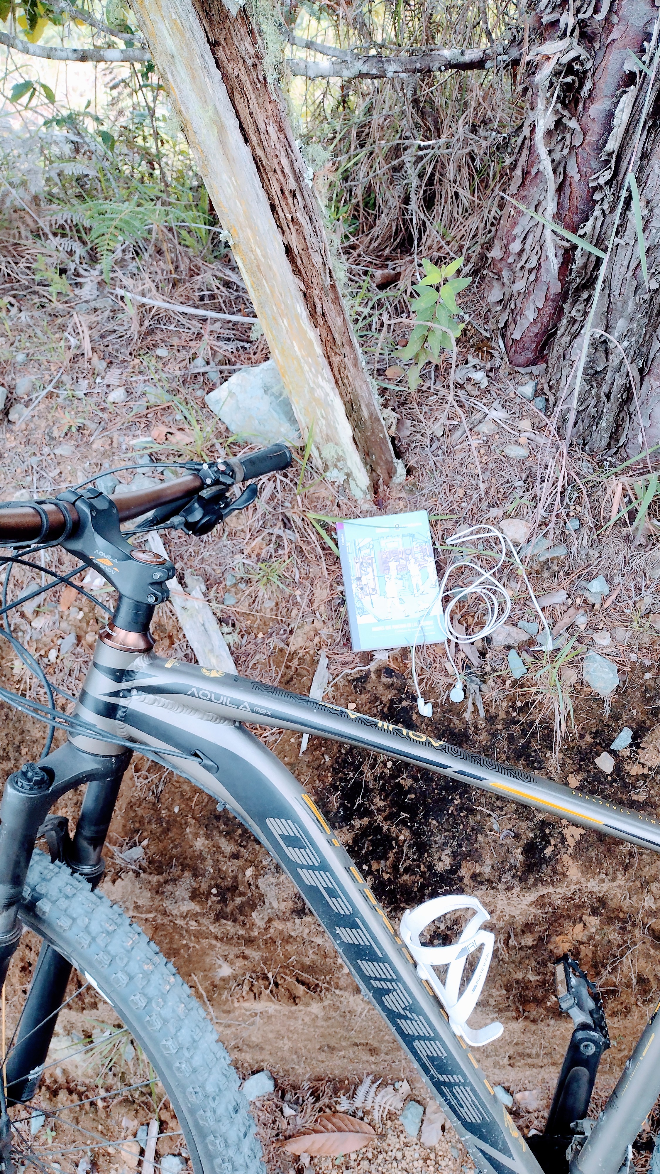
Route photos


Route quality
Waytypes & surfaces along the route
Waytypes
Quiet road
17.9 km
(19 %)
Undefined
76.1 km
(81 %)
Surfaces
Paved
55.4 km
(59 %)
Unpaved
32.9 km
(35 %)
Asphalt
54.5 km
(58 %)
Unpaved (undefined)
16.9 km
(18 %)
Continue with Bikemap
Use, edit, or download this cycling route
You would like to ride Popayan La Mina Volcán Purace or customize it for your own trip? Here is what you can do with this Bikemap route:
Free features
- Save this route as favorite or in collections
- Copy & plan your own version of this route
- Split it into stages to create a multi-day tour
- Sync your route with Garmin or Wahoo
Premium features
Free trial for 3 days, or one-time payment. More about Bikemap Premium.
- Navigate this route on iOS & Android
- Export a GPX / KML file of this route
- Create your custom printout (try it for free)
- Download this route for offline navigation
Discover more Premium features.
Get Bikemap PremiumFrom our community
Other popular routes starting in Popayán
 Lgrands - Terraplaza - Clarete 2
- Distance
- 21.2 km
- Ascent
- 459 m
- Descent
- 500 m
- Location
- Popayán, Cauca Department, Colombia
 AVISTAMIENTO DE AVES
- Distance
- 5.4 km
- Ascent
- 259 m
- Descent
- 260 m
- Location
- Popayán, Cauca Department, Colombia
 LGrands - Terraplaza - Clarete
- Distance
- 21 km
- Ascent
- 422 m
- Descent
- 440 m
- Location
- Popayán, Cauca Department, Colombia
 De Calle 1 16-61, Popayán a Calle 1 16-61, Popayán
- Distance
- 35.4 km
- Ascent
- 269 m
- Descent
- 270 m
- Location
- Popayán, Cauca Department, Colombia
 Popayan-Inza
- Distance
- 124.3 km
- Ascent
- 2,936 m
- Descent
- 2,329 m
- Location
- Popayán, Cauca Department, Colombia
 panamericana sur norte
- Distance
- 26.9 km
- Ascent
- 523 m
- Descent
- 531 m
- Location
- Popayán, Cauca Department, Colombia
 ruta
ruta- Distance
- 35.1 km
- Ascent
- 431 m
- Descent
- 432 m
- Location
- Popayán, Cauca Department, Colombia
 De Calle 61 Norte 16-23, Popayán a Calle 61 Norte 16-23, Popayán
- Distance
- 35 km
- Ascent
- 684 m
- Descent
- 685 m
- Location
- Popayán, Cauca Department, Colombia
Open it in the app