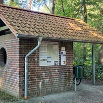
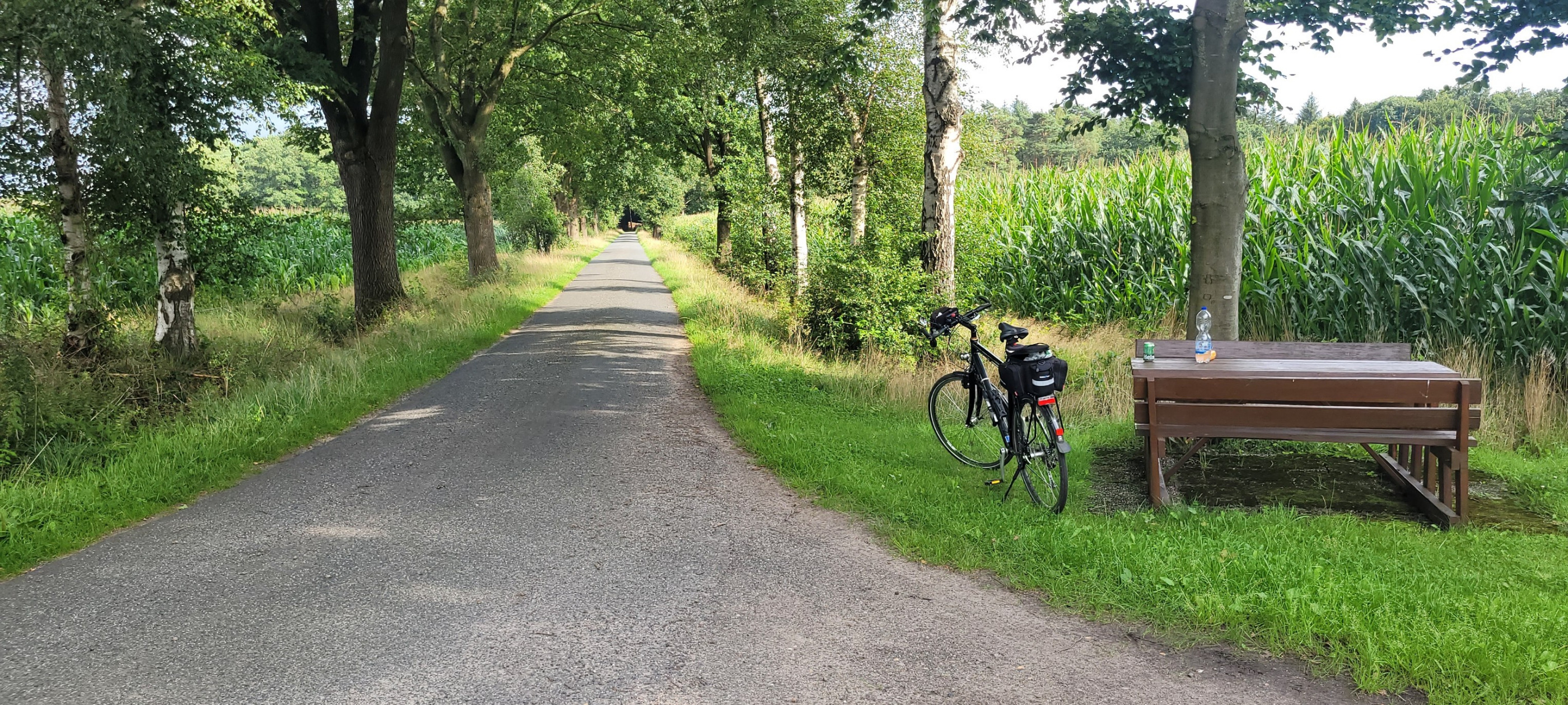
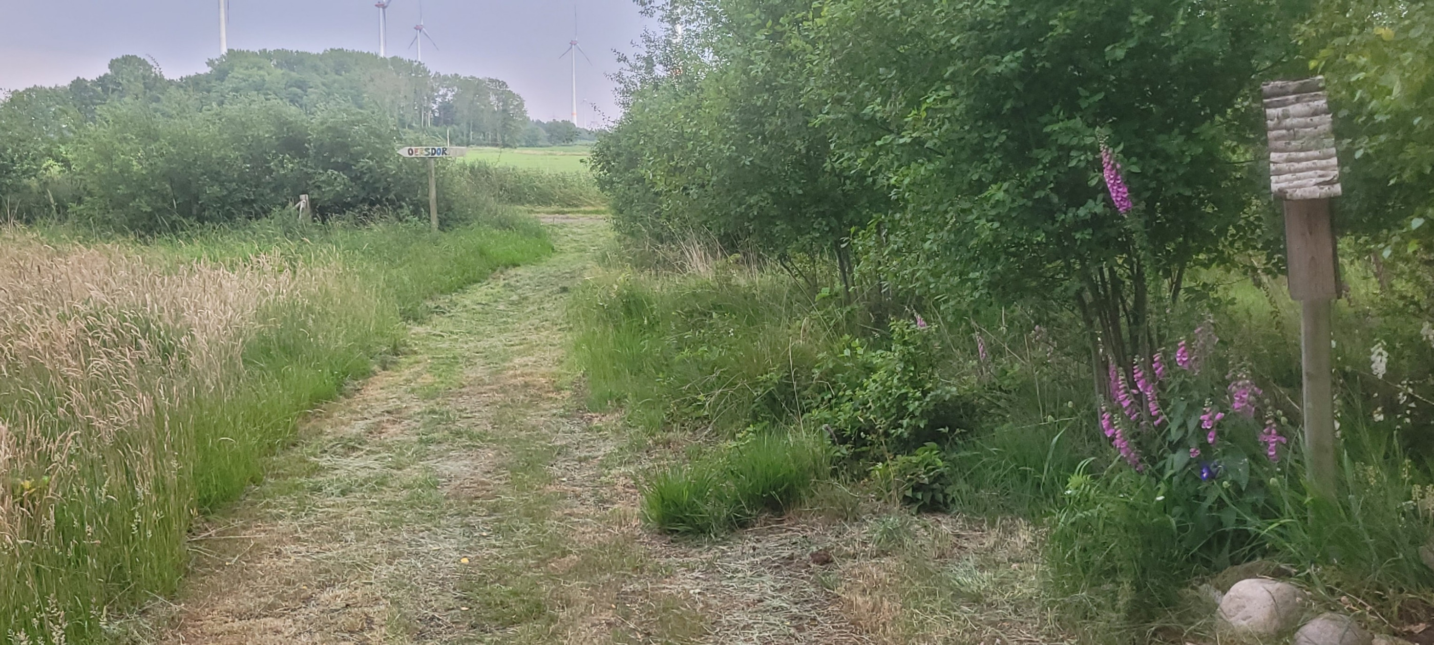
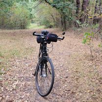
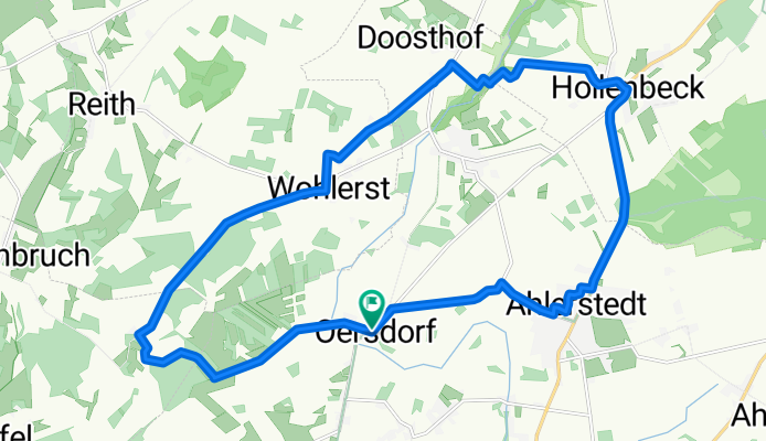
Pfingstmontag
A cycling route starting in Ahlerstedt, Lower Saxony, Germany.
Overview
About this route
- 1 h 23 min
 - Duration
 - 20.2 km
 - Distance
 - 77 m
 - Ascent
 - 73 m
 - Descent
 - 14.6 km/h
 - Avg. speed
 - 45 m
 - Max. altitude
 
Route photos
Route quality
Waytypes & surfaces along the route
Waytypes
Quiet road
7.5 km
(37 %)
Track
5.3 km
(26 %)
Surfaces
Paved
9.1 km
(45 %)
Unpaved
2.6 km
(13 %)
Asphalt
5.9 km
(29 %)
Paved (undefined)
3.2 km
(16 %)
Continue with Bikemap
Use, edit, or download this cycling route
You would like to ride Pfingstmontag or customize it for your own trip? Here is what you can do with this Bikemap route:
Free features
- Save this route as favorite or in collections
 - Copy & plan your own version of this route
 - Sync your route with Garmin or Wahoo
 
Premium features
Free trial for 3 days, or one-time payment. More about Bikemap Premium.
- Navigate this route on iOS & Android
 - Export a GPX / KML file of this route
 - Create your custom printout (try it for free)
 - Download this route for offline navigation
 
Discover more Premium features.
Get Bikemap PremiumFrom our community
Other popular routes starting in Ahlerstedt
Rotenburg Wümme- Distance
 - 85.8 km
 - Ascent
 - 284 m
 - Descent
 - 283 m
 - Location
 - Ahlerstedt, Lower Saxony, Germany
 
Herbsttour- Distance
 - 67 km
 - Ascent
 - 198 m
 - Descent
 - 196 m
 - Location
 - Ahlerstedt, Lower Saxony, Germany
 
Wistedt- Distance
 - 58.8 km
 - Ascent
 - 201 m
 - Descent
 - 205 m
 - Location
 - Ahlerstedt, Lower Saxony, Germany
 
Oldendorf- Distance
 - 79.3 km
 - Ascent
 - 124 m
 - Descent
 - 124 m
 - Location
 - Ahlerstedt, Lower Saxony, Germany
 
Pfingstmontag- Distance
 - 20.2 km
 - Ascent
 - 77 m
 - Descent
 - 73 m
 - Location
 - Ahlerstedt, Lower Saxony, Germany
 
Alpershausen- Distance
 - 62.6 km
 - Ascent
 - 200 m
 - Descent
 - 200 m
 - Location
 - Ahlerstedt, Lower Saxony, Germany
 
Brauel- Distance
 - 36.7 km
 - Ascent
 - 138 m
 - Descent
 - 138 m
 - Location
 - Ahlerstedt, Lower Saxony, Germany
 
Engelschoff- Distance
 - 92.9 km
 - Ascent
 - 159 m
 - Descent
 - 159 m
 - Location
 - Ahlerstedt, Lower Saxony, Germany
 
Open it in the app


