

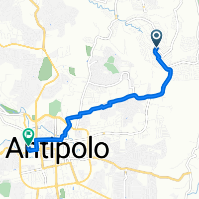
H57H+VXX to H57H+VXX
A cycling route starting in Teresa, Calabarzon, Philippines.
Overview
About this route
- 1 h 55 min
- Duration
- 26.5 km
- Distance
- 751 m
- Ascent
- 773 m
- Descent
- 13.9 km/h
- Avg. speed
- 323 m
- Max. altitude

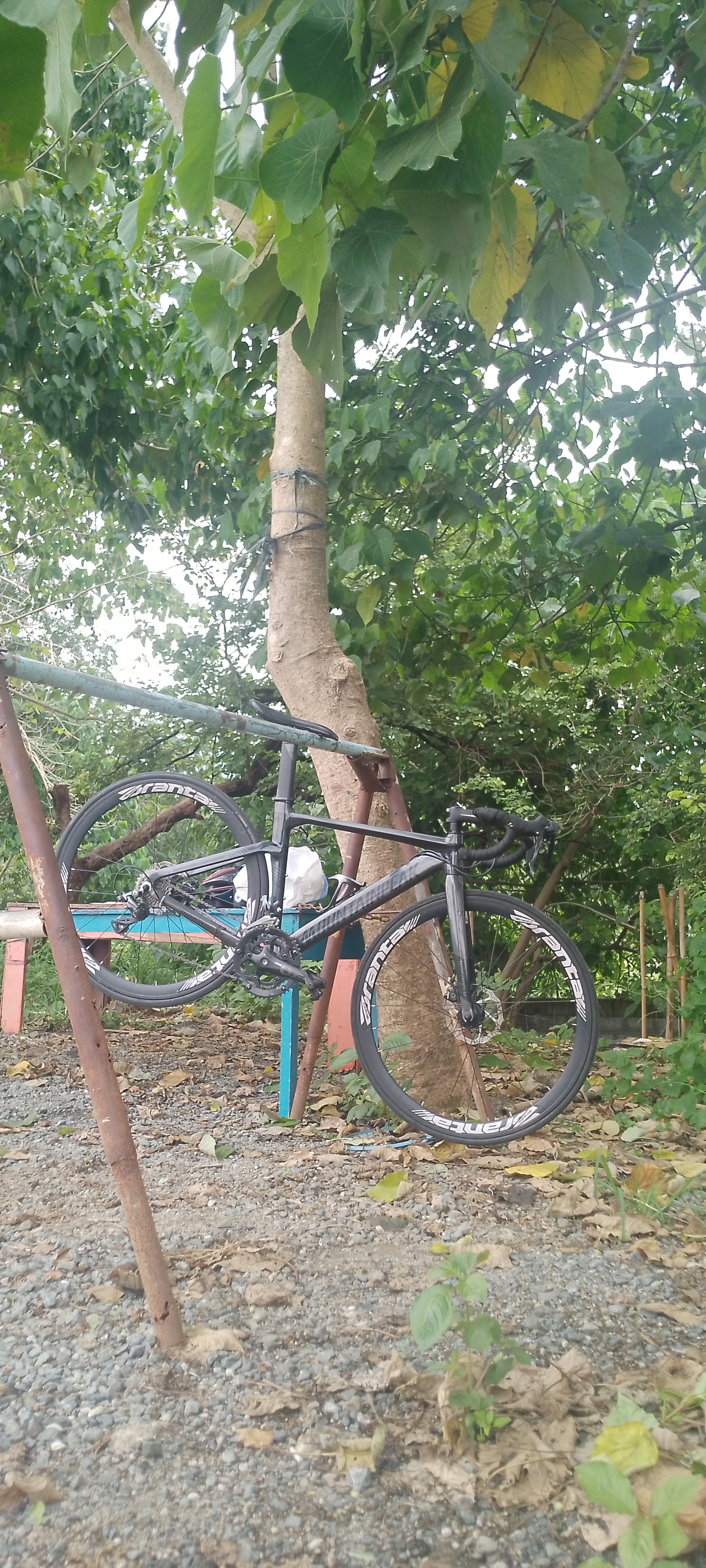
Route photos

Route quality
Waytypes & surfaces along the route
Waytypes
Road
15.4 km
(58 %)
Quiet road
5.6 km
(21 %)
Surfaces
Paved
5 km
(19 %)
Unpaved
0.5 km
(2 %)
Concrete
2.9 km
(11 %)
Asphalt
2.1 km
(8 %)
Continue with Bikemap
Use, edit, or download this cycling route
You would like to ride H57H+VXX to H57H+VXX or customize it for your own trip? Here is what you can do with this Bikemap route:
Free features
- Save this route as favorite or in collections
- Copy & plan your own version of this route
- Sync your route with Garmin or Wahoo
Premium features
Free trial for 3 days, or one-time payment. More about Bikemap Premium.
- Navigate this route on iOS & Android
- Export a GPX / KML file of this route
- Create your custom printout (try it for free)
- Download this route for offline navigation
Discover more Premium features.
Get Bikemap PremiumFrom our community
Other popular routes starting in Teresa
 Milagros Avenue 100, Antipolo to Sumulong Highway 41, Marikina
- Distance
- 14.9 km
- Ascent
- 21 m
- Descent
- 159 m
- Location
- Teresa, Calabarzon, Philippines
 Route from M. L. Quezon Avenue
- Distance
- 23.7 km
- Ascent
- 528 m
- Descent
- 445 m
- Location
- Teresa, Calabarzon, Philippines
 Audax 200 Boso-Boso to Pagsanjan
- Distance
- 69.2 km
- Ascent
- 524 m
- Descent
- 745 m
- Location
- Teresa, Calabarzon, Philippines
 Solo ride
- Distance
- 32.1 km
- Ascent
- 383 m
- Descent
- 426 m
- Location
- Teresa, Calabarzon, Philippines
 14.552, 121.225 to 14.574, 121.371
- Distance
- 32 km
- Ascent
- 808 m
- Descent
- 309 m
- Location
- Teresa, Calabarzon, Philippines
 Unnamed Road, Teresa to Pililla - Jala-Jala - Pakil Road, Jala-jala
- Distance
- 37.9 km
- Ascent
- 294 m
- Descent
- 331 m
- Location
- Teresa, Calabarzon, Philippines
 Poinsettia Street to Antipolo City
- Distance
- 5.3 km
- Ascent
- 123 m
- Descent
- 98 m
- Location
- Teresa, Calabarzon, Philippines
- H57H+VXX to H57H+VXX
- Distance
- 26.5 km
- Ascent
- 751 m
- Descent
- 773 m
- Location
- Teresa, Calabarzon, Philippines
Open it in the app