- 18.1 km
- 524 m
- 570 m
- Villarluengo, Aragon, Spain
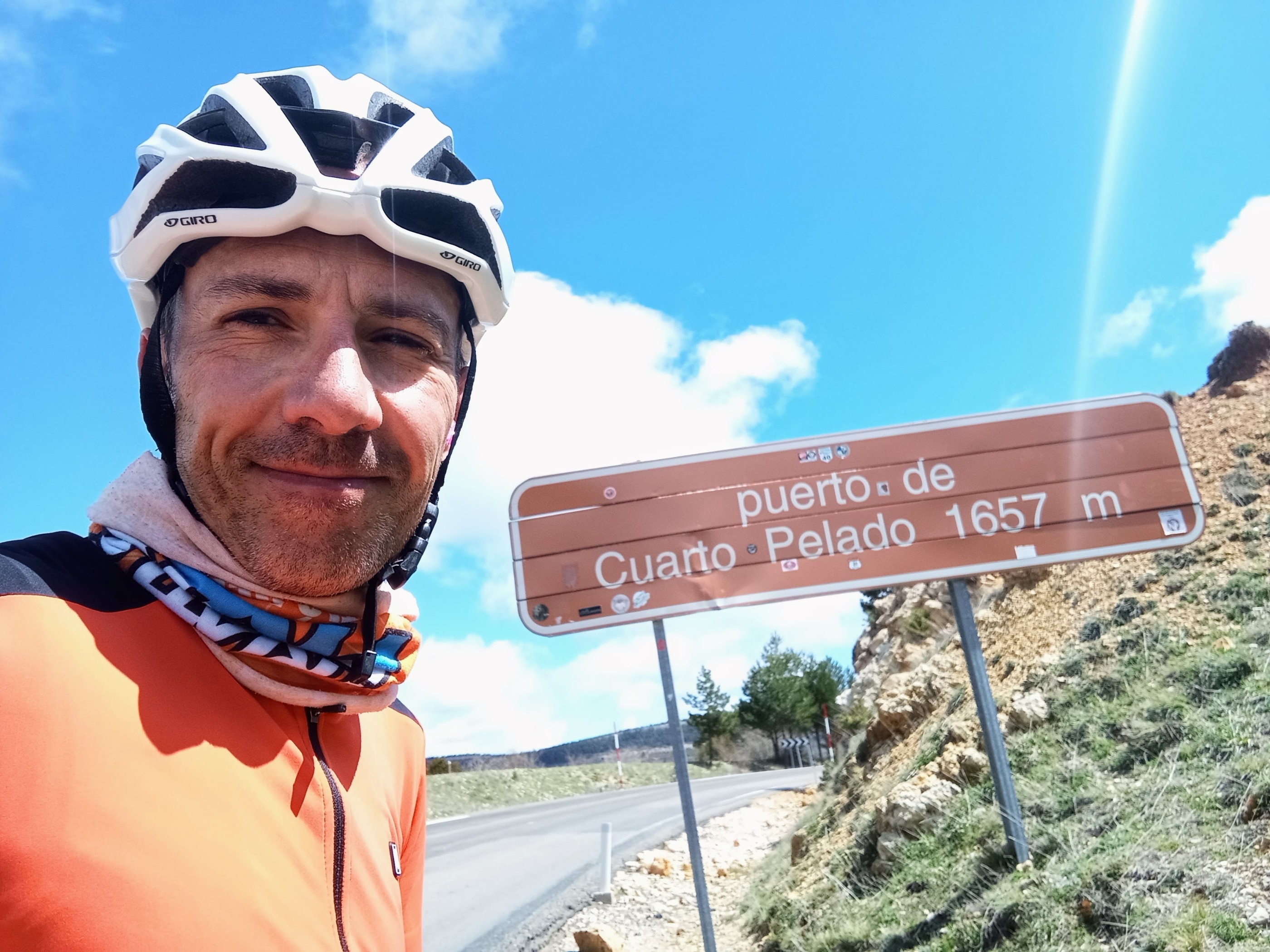
PUERTO DE CUARTO PELADO (desde cruce río Pitarque)
A cycling route starting in Villarluengo, Aragon, Spain.
Overview
About this route
The Puerto de Cuarto Pelado is one of those names that in the Maestrazgo of Teruel is loaded with meaning, not only for what it names but also for what it suggests. It is located in the heart of the Sierra de la Cañada, in the province of Teruel, northeast of the town of Villarluengo, and it is accessed from the crossing of the Pitarque River, just as the majestic Órganos de Montoro are left behind, those limestone formations that rise vertically like stone tubes. From that point, the road begins to rise continuously, carving its way between cliffs, steep walls, and increasingly bare landscapes, as if the territory were gradually stripping away until reaching the summit.
- 1 h 39 min
- Duration
- 26.3 km
- Distance
- 1,540 m
- Ascent
- 757 m
- Descent
- 16 km/h
- Avg. speed
- 1,669 m
- Max. altitude
created this 6 months ago
Route photos
Route quality
Waytypes & surfaces along the route
Surfaces
Paved
0.8 km
(3 %)
Asphalt
0.8 km
(3 %)
Undefined
25.5 km
(97 %)
Continue with Bikemap
Use, edit, or download this cycling route
You would like to ride PUERTO DE CUARTO PELADO (desde cruce río Pitarque) or customize it for your own trip? Here is what you can do with this Bikemap route:
Free features
- Save this route as favorite or in collections
- Copy & plan your own version of this route
- Sync your route with Garmin or Wahoo
Premium features
Free trial for 3 days, or one-time payment. More about Bikemap Premium.
- Navigate this route on iOS & Android
- Export a GPX / KML file of this route
- Create your custom printout (try it for free)
- Download this route for offline navigation
Discover more Premium features.
Get Bikemap PremiumFrom our community
Other popular routes starting in Villarluengo
- tronchon
- Ruta circular desde Pitarque
- 89.5 km
- 1,445 m
- 1,553 m
- Villarluengo, Aragon, Spain
- PUERTO DE CUARTO PELADO (desde cruce río Pitarque)
- 26.3 km
- 1,540 m
- 757 m
- Villarluengo, Aragon, Spain
- SS19-5-Villarluengo-Cantavieja
- 50.4 km
- 975 m
- 924 m
- Villarluengo, Aragon, Spain
- silen route 3
- 85.4 km
- 1,985 m
- 2,015 m
- Villarluengo, Aragon, Spain
- Ruta circular Villarluengo
- 121.8 km
- 1,893 m
- 2,034 m
- Villarluengo, Aragon, Spain
- silen route 2
- 83.7 km
- 2,290 m
- 2,292 m
- Villarluengo, Aragon, Spain
- 6 Villarluengo Alcalá
- 110 km
- 2,726 m
- 2,467 m
- Villarluengo, Aragon, Spain
Open it in the app


