
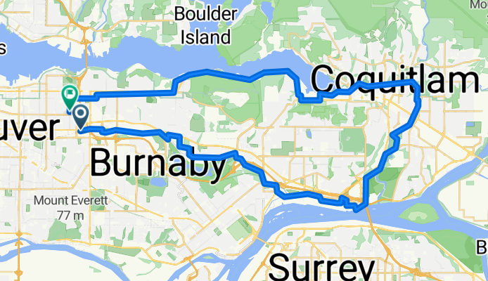
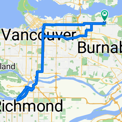
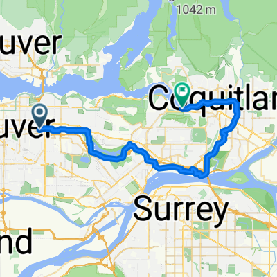
Coquitlam 50k
A cycling route starting in Burnaby, British Columbia, Canada.
Overview
About this route
- 3 h 20 min
- Duration
- 53 km
- Distance
- 531 m
- Ascent
- 501 m
- Descent
- 15.9 km/h
- Avg. speed
- 118 m
- Max. altitude

Route quality
Waytypes & surfaces along the route
Waytypes
Cycleway
22.2 km
(42 %)
Quiet road
9.5 km
(18 %)
Surfaces
Paved
36 km
(68 %)
Unpaved
8.5 km
(16 %)
Asphalt
31.8 km
(60 %)
Gravel
8.5 km
(16 %)
Continue with Bikemap
Use, edit, or download this cycling route
You would like to ride Coquitlam 50k or customize it for your own trip? Here is what you can do with this Bikemap route:
Free features
- Save this route as favorite or in collections
- Copy & plan your own version of this route
- Sync your route with Garmin or Wahoo
Premium features
Free trial for 3 days, or one-time payment. More about Bikemap Premium.
- Navigate this route on iOS & Android
- Export a GPX / KML file of this route
- Create your custom printout (try it for free)
- Download this route for offline navigation
Discover more Premium features.
Get Bikemap PremiumFrom our community
Other popular routes starting in Burnaby
 CentralPark to Foreshore
- Distance
- 12.6 km
- Ascent
- 119 m
- Descent
- 165 m
- Location
- Burnaby, British Columbia, Canada
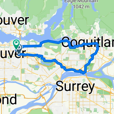 Coquitlam 50k
- Distance
- 53 km
- Ascent
- 531 m
- Descent
- 501 m
- Location
- Burnaby, British Columbia, Canada
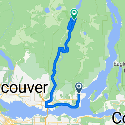 NB Deep Cove Rd @ Badger Rd to Seymour Valley Trailway
- Distance
- 33.7 km
- Ascent
- 818 m
- Descent
- 652 m
- Location
- Burnaby, British Columbia, Canada
 Route in Burnaby
- Distance
- 9.8 km
- Ascent
- 175 m
- Descent
- 68 m
- Location
- Burnaby, British Columbia, Canada
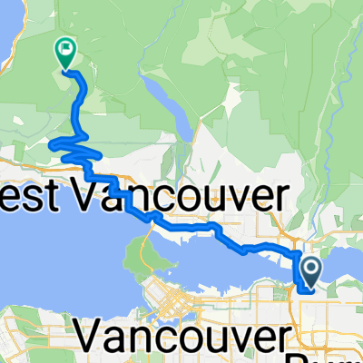 From Burnaby to West Vancouver
- Distance
- 33.4 km
- Ascent
- 1,116 m
- Descent
- 278 m
- Location
- Burnaby, British Columbia, Canada
 Route to Burnaby
- Distance
- 51.1 km
- Ascent
- 429 m
- Descent
- 427 m
- Location
- Burnaby, British Columbia, Canada
 Loop: Central Valley Greenway + Cariboo Bikeway + Southeast Bikeway + Midtown Bikeway + Kerr McHardy Bikeway + BC Bikeway
- Distance
- 25 km
- Ascent
- 274 m
- Descent
- 280 m
- Location
- Burnaby, British Columbia, Canada
 Moody Loop
- Distance
- 36 km
- Ascent
- 192 m
- Descent
- 206 m
- Location
- Burnaby, British Columbia, Canada
Open it in the app