
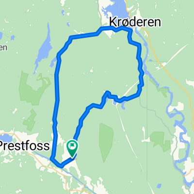
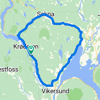
Vatnås Runde
A cycling route starting in Prestfoss, Buskerud, Norway.
Overview
About this route
- -:--
- Duration
- 33.2 km
- Distance
- 478 m
- Ascent
- 478 m
- Descent
- ---
- Avg. speed
- ---
- Max. altitude
Route quality
Waytypes & surfaces along the route
Waytypes
Busy road
15 km
(45 %)
Quiet road
13.7 km
(41 %)
Surfaces
Paved
7.2 km
(22 %)
Unpaved
2.6 km
(8 %)
Asphalt
7.2 km
(22 %)
Gravel
2.6 km
(8 %)
Undefined
23.4 km
(70 %)
Route highlights
Points of interest along the route

Photo after 6.2 km

Photo after 10.4 km

Photo after 20 km

Photo after 23.8 km
Continue with Bikemap
Use, edit, or download this cycling route
You would like to ride Vatnås Runde or customize it for your own trip? Here is what you can do with this Bikemap route:
Free features
- Save this route as favorite or in collections
- Copy & plan your own version of this route
- Sync your route with Garmin or Wahoo
Premium features
Free trial for 3 days, or one-time payment. More about Bikemap Premium.
- Navigate this route on iOS & Android
- Export a GPX / KML file of this route
- Create your custom printout (try it for free)
- Download this route for offline navigation
Discover more Premium features.
Get Bikemap PremiumFrom our community
Other popular routes starting in Prestfoss
 Grimesund Runde
- Distance
- 13.4 km
- Ascent
- 181 m
- Descent
- 181 m
- Location
- Prestfoss, Buskerud, Norway
 Finnerud
- Distance
- 30.9 km
- Ascent
- 0 m
- Descent
- 0 m
- Location
- Prestfoss, Buskerud, Norway
 Vatnås Runde
- Distance
- 33.2 km
- Ascent
- 483 m
- Descent
- 483 m
- Location
- Prestfoss, Buskerud, Norway
 Soknarunden
- Distance
- 87.9 km
- Ascent
- 483 m
- Descent
- 483 m
- Location
- Prestfoss, Buskerud, Norway
 Vatnås Runde
- Distance
- 33.2 km
- Ascent
- 478 m
- Descent
- 478 m
- Location
- Prestfoss, Buskerud, Norway
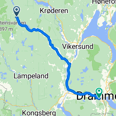 Andersnatten - Drammen
- Distance
- 73 km
- Ascent
- 236 m
- Descent
- 350 m
- Location
- Prestfoss, Buskerud, Norway
 norway4-5
- Distance
- 251.8 km
- Ascent
- 1,579 m
- Descent
- 869 m
- Location
- Prestfoss, Buskerud, Norway
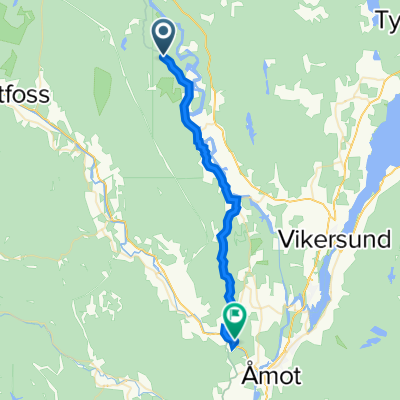 Øgardsveien, Vikersund to Koboltveien 11, Åmot
- Distance
- 21.7 km
- Ascent
- 402 m
- Descent
- 496 m
- Location
- Prestfoss, Buskerud, Norway
Open it in the app